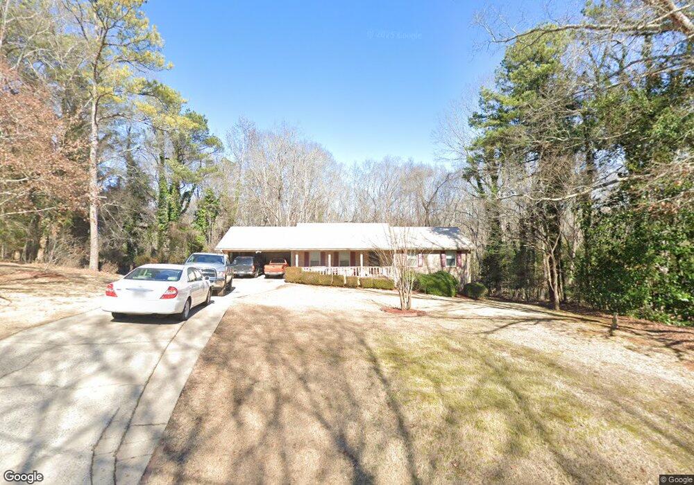
370 Cavalier Rd Athens, GA 30606
Estimated Value: $259,696 - $334,000
--
Bed
--
Bath
1,700
Sq Ft
$185/Sq Ft
Est. Value
About This Home
This home is located at 370 Cavalier Rd, Athens, GA 30606 and is currently estimated at $314,174, approximately $184 per square foot. 370 Cavalier Rd is a home located in Clarke County with nearby schools including Cleveland Road Elementary School, Burney-Harris-Lyons Middle School, and Clarke Central High School.
Ownership History
Date
Name
Owned For
Owner Type
Purchase Details
Closed on
May 31, 1996
Sold by
Smith Clifford and Smith Teresa F
Bought by
Watkins Albert J and Brenda Watkins J
Current Estimated Value
Create a Home Valuation Report for This Property
The Home Valuation Report is an in-depth analysis detailing your home's value as well as a comparison with similar homes in the area
Home Values in the Area
Average Home Value in this Area
Purchase History
| Date | Buyer | Sale Price | Title Company |
|---|---|---|---|
| Watkins Albert J | $81,000 | -- |
Source: Public Records
Tax History Compared to Growth
Tax History
| Year | Tax Paid | Tax Assessment Tax Assessment Total Assessment is a certain percentage of the fair market value that is determined by local assessors to be the total taxable value of land and additions on the property. | Land | Improvement |
|---|---|---|---|---|
| 2025 | $2,348 | $94,456 | $12,000 | $82,456 |
| 2024 | $2,222 | $87,076 | $12,000 | $75,076 |
| 2023 | $1,411 | $80,164 | $12,000 | $68,164 |
| 2022 | $1,769 | $65,456 | $10,400 | $55,056 |
| 2021 | $1,587 | $57,102 | $10,400 | $46,702 |
| 2020 | $1,516 | $54,982 | $10,400 | $44,582 |
| 2019 | $1,388 | $50,876 | $9,600 | $41,276 |
| 2018 | $1,274 | $47,518 | $9,600 | $37,918 |
| 2017 | $1,175 | $44,616 | $9,600 | $35,016 |
| 2016 | $1,080 | $41,824 | $9,600 | $32,224 |
| 2015 | $1,114 | $42,758 | $9,600 | $33,158 |
| 2014 | $1,139 | $43,422 | $9,600 | $33,822 |
Source: Public Records
Map
Nearby Homes
- 256 Cherokee Ridge
- 532 Huntington Rd Unit 7
- 470 Huntington Rd Unit 5
- 141 Huntington Shoals Dr
- 450 River Bottom Rd
- 637 Huntington Rd Unit B1
- 170 Huntington Ct
- 212 Huntington Shoals Dr
- 115 Woodhaven St
- 860 Mitchell Bridge Rd Unit 8
- 860 Mitchell Bridge Rd Unit 8
- 150 The Preserve Dr Unit H2
- 164 Lucy Ln
- 240 W Huntington Rd
- 241 Meeler Cir
- 212 Meeler Cir
- 184 Hillsborough Dr
- 190 W Huntington Rd
- 360 Cavalier Rd
- 200 Cherokee Ridge
- 208 Cherokee Ridge
- 365 Cavalier Rd
- 350 Cavalier Rd
- 198 Cherokee Ridge
- 355 Cavalier Rd
- 355 Cavalier Rd
- 224 Cherokee Ridge
- 196 Cherokee Ridge
- 345 Cavalier Rd
- 340 Cavalier Rd
- 205 Cherokee Ridge
- 211 Cherokee Ridge
- 405 Cavalier Rd
- 232 Cherokee Ridge
- 188 Cherokee Ridge
- 335 Cavalier Rd
- 221 Cherokee Ridge
- 255 River Bottom Rd