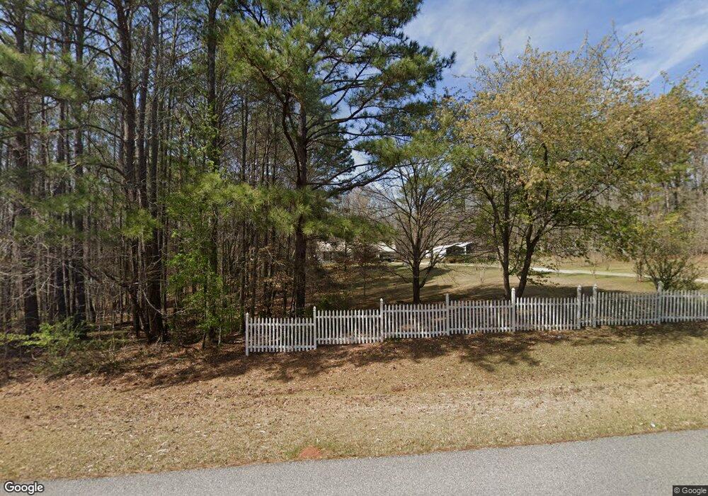
370 Deer Pointe Rd Lagrange, GA 30240
Estimated Value: $218,830 - $300,000
3
Beds
2
Baths
1,340
Sq Ft
$202/Sq Ft
Est. Value
About This Home
This home is located at 370 Deer Pointe Rd, Lagrange, GA 30240 and is currently estimated at $271,208, approximately $202 per square foot. 370 Deer Pointe Rd is a home located in Troup County with nearby schools including Ethel W. Kight Elementary School, Hollis Hand Elementary School, and Franklin Forest Elementary School.
Ownership History
Date
Name
Owned For
Owner Type
Purchase Details
Closed on
Apr 16, 1996
Sold by
Caney Creek Dev Inc
Bought by
Walls Richard E and Walls Bessie A
Current Estimated Value
Purchase Details
Closed on
Dec 15, 1992
Sold by
Johns
Bought by
Caney Creek Dev Inc
Purchase Details
Closed on
May 7, 1991
Bought by
Johns
Purchase Details
Closed on
Aug 4, 1989
Create a Home Valuation Report for This Property
The Home Valuation Report is an in-depth analysis detailing your home's value as well as a comparison with similar homes in the area
Purchase History
| Date | Buyer | Sale Price | Title Company |
|---|---|---|---|
| Walls Richard E | $60,000 | -- | |
| Caney Creek Dev Inc | $60,000 | -- | |
| Johns | -- | -- | |
| -- | -- | -- |
Source: Public Records
Tax History
| Year | Tax Paid | Tax Assessment Tax Assessment Total Assessment is a certain percentage of the fair market value that is determined by local assessors to be the total taxable value of land and additions on the property. | Land | Improvement |
|---|---|---|---|---|
| 2025 | $1,997 | $81,064 | $21,000 | $60,064 |
| 2024 | $1,707 | $64,584 | $21,000 | $43,584 |
| 2023 | $1,636 | $61,976 | $16,200 | $45,776 |
| 2022 | $1,609 | $59,656 | $16,200 | $43,456 |
| 2021 | $1,140 | $39,780 | $14,000 | $25,780 |
| 2020 | $1,140 | $39,780 | $14,000 | $25,780 |
| 2019 | $1,176 | $40,988 | $14,000 | $26,988 |
| 2018 | $1,176 | $40,988 | $14,000 | $26,988 |
| 2017 | $984 | $34,600 | $8,624 | $25,976 |
| 2016 | $984 | $34,622 | $8,624 | $25,998 |
| 2015 | $986 | $34,622 | $8,624 | $25,998 |
| 2014 | $946 | $33,253 | $8,624 | $24,629 |
| 2013 | -- | $34,997 | $8,624 | $26,373 |
Source: Public Records
Map
Nearby Homes
- 42 Deer Pointe Ct
- 15 Williams Ct
- 163 Terri Rd
- 0 Leisure Cove Dr Unit 10619411
- 511 Williams Rd
- 524 Williams Rd
- 153 N Whatley Rd
- 205 Long Cove Dr
- 108 Stonebridge Ln
- 1100 County Road 442
- 780 Sharman Rd
- 3414 Rock Mills Rd
- 0 County Road 278 Unit 22289211
- 0 County Road 278 Unit 23477602
- 0 County Road 278 Unit 173507
- 0 County Road 278 Unit 174838
- TRACT 3 AND 4 Sheppard Rd
- 4377 Rock Mills Rd
- 226 Linda Ln
- 104 Dogwood Point
- 12 Deer Pointe Run
- 350 Deer Pointe Rd
- 14 Deer Pointe Rd
- 381 Deer Pointe Rd
- 0 Deer Pointe Rd Unit 4&5 7331956
- 0 Deer Pointe Rd Unit 1013000025 8232007
- 0 Deer Pointe Rd Unit 8354874
- 0 Deer Pointe Rd Unit 8427817
- 0 Deer Pointe Rd Unit 8837110
- 496 Deer Pointe Rd
- 518 Deer Pointe Rd
- 450 Deer Pointe Rd
- 0 Deer Pointe Rd Unit 8686892
- 31 Deer Pointe Run
- 9 Deer Pointe Run
- 212 Deer Pointe Rd
- 424 Deer Pointe Rd
- 64 Deer Pointe Run
- 0 Deer Pointe Run Unit LOT 79 20012513
- 0 Deer Pointe Run Unit LOT 79 8660396
Your Personal Tour Guide
Ask me questions while you tour the home.