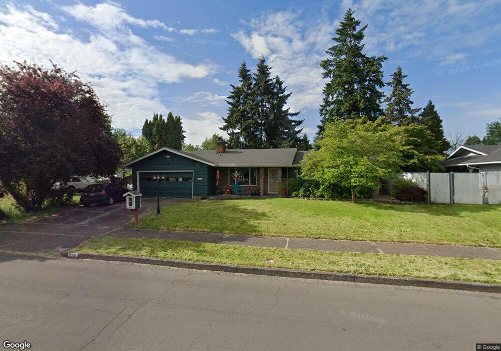
370 Durham Ave Eugene, OR 97404
Santa Clara NeighborhoodEstimated Value: $475,176 - $514,000
4
Beds
3
Baths
1,800
Sq Ft
$277/Sq Ft
Est. Value
About This Home
This home is located at 370 Durham Ave, Eugene, OR 97404 and is currently estimated at $499,294, approximately $277 per square foot. 370 Durham Ave is a home located in Lane County with nearby schools including Spring Creek Elementary School, Madison Middle School, and North Eugene High School.
Ownership History
Date
Name
Owned For
Owner Type
Purchase Details
Closed on
Oct 19, 2012
Sold by
Hill Ted L and Hill Cynthia K
Bought by
Skinner Billy Jack and Skinner Desiree Cherie
Current Estimated Value
Home Financials for this Owner
Home Financials are based on the most recent Mortgage that was taken out on this home.
Original Mortgage
$216,015
Outstanding Balance
$148,056
Interest Rate
3.37%
Mortgage Type
FHA
Estimated Equity
$351,238
Purchase Details
Closed on
Aug 4, 2010
Sold by
Hill Ted L
Bought by
Hill Ted L and Hill Cynthia K
Create a Home Valuation Report for This Property
The Home Valuation Report is an in-depth analysis detailing your home's value as well as a comparison with similar homes in the area
Home Values in the Area
Average Home Value in this Area
Purchase History
| Date | Buyer | Sale Price | Title Company |
|---|---|---|---|
| Skinner Billy Jack | $220,000 | Multiple | |
| Hill Ted L | -- | Cascade Title Co |
Source: Public Records
Mortgage History
| Date | Status | Borrower | Loan Amount |
|---|---|---|---|
| Open | Skinner Billy Jack | $216,015 |
Source: Public Records
Tax History
| Year | Tax Paid | Tax Assessment Tax Assessment Total Assessment is a certain percentage of the fair market value that is determined by local assessors to be the total taxable value of land and additions on the property. | Land | Improvement |
|---|---|---|---|---|
| 2025 | $3,276 | $255,947 | -- | -- |
| 2024 | $3,259 | $248,493 | -- | -- |
| 2023 | $3,259 | $241,256 | $0 | $0 |
| 2022 | $3,063 | $234,230 | $0 | $0 |
| 2021 | $2,810 | $227,408 | $0 | $0 |
| 2020 | $2,863 | $220,785 | $0 | $0 |
| 2019 | $2,757 | $214,355 | $0 | $0 |
| 2018 | $2,539 | $202,050 | $0 | $0 |
| 2017 | $2,369 | $202,050 | $0 | $0 |
| 2016 | $2,215 | $196,165 | $0 | $0 |
| 2015 | $2,154 | $190,451 | $0 | $0 |
| 2014 | $2,008 | $184,904 | $0 | $0 |
Source: Public Records
Map
Nearby Homes
- 303 Lenore Loop
- 401 Sterling Dr
- 2563 York St
- 193 Santa Clara Ave
- 215 Jonquil Ave
- 200 Irving Rd
- 349 Irving Rd
- 2785 Alyndale Dr
- 1880 Manihi Dr
- 2740 Stark St
- 1755 Brentwood Ave
- 2989 Dahlia Ln
- 190 Hunsaker Ln
- 1682 Hemlock St
- 3007 River Rd
- 2937 Stark St
- 389 Maxwell Rd
- 2488 Northampton
- 2923 Maranta St
- 190 River Loop 1
Your Personal Tour Guide
Ask me questions while you tour the home.