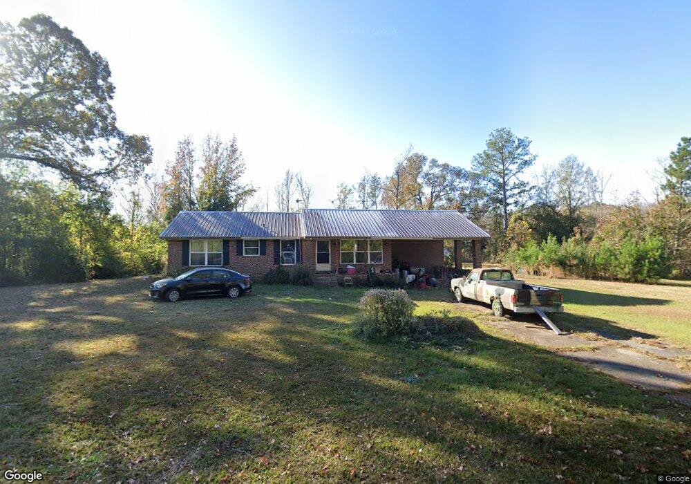
370 Givens Cir West Point, GA 31833
Estimated Value: $112,000 - $160,000
3
Beds
2
Baths
1,288
Sq Ft
$105/Sq Ft
Est. Value
About This Home
This home is located at 370 Givens Cir, West Point, GA 31833 and is currently estimated at $135,173, approximately $104 per square foot. 370 Givens Cir is a home located in Troup County with nearby schools including West Point Elementary School, Long Cane Elementary School, and Berta Weathersbee Elementary School.
Ownership History
Date
Name
Owned For
Owner Type
Purchase Details
Closed on
Sep 29, 2025
Sold by
Smith Barry Eugene
Bought by
Smith Leslie Elizabeth
Current Estimated Value
Purchase Details
Closed on
Oct 30, 2017
Sold by
Church On The Rock Inc
Bought by
Jackson Benny A and Smith Barry E
Purchase Details
Closed on
Oct 7, 1974
Sold by
Lanier Memorial Baptist Church
Bought by
Church Northside Baptist
Purchase Details
Closed on
Oct 9, 1962
Sold by
Casey Hubert A
Bought by
Lanier Memorial Baptist Church
Create a Home Valuation Report for This Property
The Home Valuation Report is an in-depth analysis detailing your home's value as well as a comparison with similar homes in the area
Home Values in the Area
Average Home Value in this Area
Purchase History
| Date | Buyer | Sale Price | Title Company |
|---|---|---|---|
| Smith Leslie Elizabeth | -- | -- | |
| Jackson Benny A | $28,500 | -- | |
| Church Northside Baptist | -- | -- | |
| Lanier Memorial Baptist Church | -- | -- |
Source: Public Records
Tax History Compared to Growth
Tax History
| Year | Tax Paid | Tax Assessment Tax Assessment Total Assessment is a certain percentage of the fair market value that is determined by local assessors to be the total taxable value of land and additions on the property. | Land | Improvement |
|---|---|---|---|---|
| 2024 | $385 | $41,000 | $13,720 | $27,280 |
| 2023 | $184 | $40,280 | $13,720 | $26,560 |
| 2022 | $1,311 | $46,960 | $13,720 | $33,240 |
| 2021 | $1,086 | $36,000 | $11,360 | $24,640 |
| 2020 | $1,086 | $36,000 | $11,360 | $24,640 |
| 2019 | $1,083 | $35,920 | $11,360 | $24,560 |
| 2018 | $344 | $31,840 | $11,600 | $20,240 |
| 2017 | $0 | $22,340 | $2,100 | $20,240 |
| 2016 | $0 | $22,716 | $2,100 | $20,616 |
| 2015 | -- | $22,716 | $2,100 | $20,616 |
| 2014 | -- | $25,016 | $2,100 | $22,916 |
| 2013 | -- | $28,104 | $2,100 | $26,004 |
Source: Public Records
Map
Nearby Homes
- 1599 Highway 29
- 0 Ga Highway 0116 Unit 10619139
- 1903 Ridgewood Dr
- 508 Pine St
- 1505 Wisteria Dr
- 1410 Roper Ave
- 1008 E 12th St
- 0 Sunset Dr Unit 10451831
- 1314 4th Ave
- 1095 County Road 212
- 1007 4th Ave
- 4517 Georgia 18
- 4509 Georgia 18
- 4523 Georgia 18
- 4527 Georgia 18
- 0 Arrowhead Dr Unit 10451860
- 713 Avenue H
- 1508 N 4th Ave
- 1103 Clara Dr
- 1109 Clara Dr
- 24 Givens Cir
- 344 Givens Cir
- 326 Givens Cir
- 311 Givens Cir
- 48 Givens Cir
- 28 Ann Murphy Rd
- 303 Givens Cir
- 306 Givens Cir
- 7868 Westpoint Rd
- 7868 W Point Rd
- 72 Givens Cir
- 294 Givens Cir
- 85 Givens Cir
- 80 Givens Cir
- 0 W Point Rd Unit 18 8278524
- 7890 Westpoint Rd
- 291 Givens Cir
- 7778 W Point Rd
- 184 Ann Murphy Rd
- 95 Givens Cir