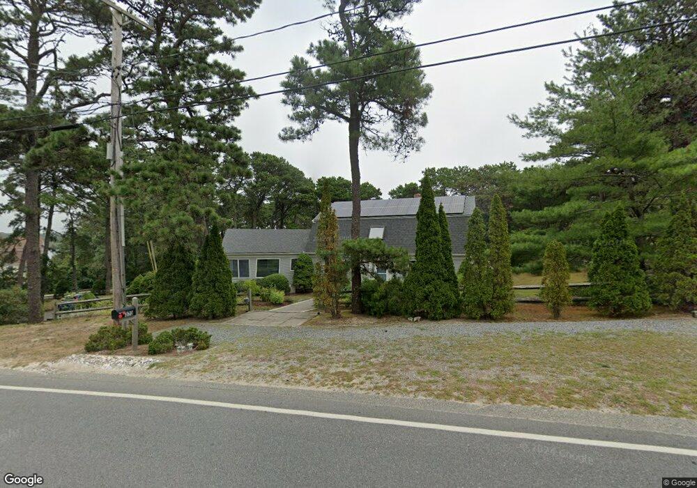
370 Herring Brook Rd Eastham, MA 02642
Estimated Value: $1,292,000 - $1,568,000
6
Beds
4
Baths
3,160
Sq Ft
$451/Sq Ft
Est. Value
About This Home
This home is located at 370 Herring Brook Rd, Eastham, MA 02642 and is currently estimated at $1,425,112, approximately $450 per square foot. 370 Herring Brook Rd is a home located in Barnstable County with nearby schools including Eastham Elementary School, Nauset Regional Middle School, and Nauset Regional High School.
Ownership History
Date
Name
Owned For
Owner Type
Purchase Details
Closed on
Jul 26, 2023
Sold by
Sebestyen Jane E
Bought by
Jane E Sebestyen Ret and Sebestyen
Current Estimated Value
Purchase Details
Closed on
Oct 20, 1980
Bought by
Sebestyen Nikolaus A and Sebestyen Jane E
Create a Home Valuation Report for This Property
The Home Valuation Report is an in-depth analysis detailing your home's value as well as a comparison with similar homes in the area
Home Values in the Area
Average Home Value in this Area
Purchase History
We collect this data history from publicly available records. To have your information removed, we recommend requesting removal directly through your county’s website.
| Date | Buyer | Sale Price | Title Company |
|---|---|---|---|
| Jane E Sebestyen Ret | -- | None Available | |
| Sebestyen Nikolaus A | $19,300 | -- |
Source: Public Records
Tax History
| Year | Tax Paid | Tax Assessment Tax Assessment Total Assessment is a certain percentage of the fair market value that is determined by local assessors to be the total taxable value of land and additions on the property. | Land | Improvement |
|---|---|---|---|---|
| 2025 | $10,526 | $1,365,300 | $303,100 | $1,062,200 |
| 2024 | $9,269 | $1,322,300 | $294,200 | $1,028,100 |
| 2023 | $8,533 | $1,178,600 | $272,400 | $906,200 |
| 2022 | $7,657 | $892,400 | $243,200 | $649,200 |
| 2021 | $7,443 | $810,800 | $221,100 | $589,700 |
| 2020 | $6,838 | $784,200 | $225,700 | $558,500 |
| 2019 | $6,282 | $761,400 | $219,100 | $542,300 |
| 2018 | $6,228 | $745,900 | $212,700 | $533,200 |
| 2017 | $5,776 | $731,100 | $208,500 | $522,600 |
| 2016 | $5,713 | $767,900 | $235,700 | $532,200 |
| 2015 | $5,223 | $735,700 | $231,100 | $504,600 |
Source: Public Records
Map
Nearby Homes
- 655 Herring Brook Rd
- 40 Uncle Nate's Way
- 20 Priscilla Cir
- 20 Stone Ct
- 10 Cartway N
- 2255 State Hwy
- 1975 State Hwy Unit 1
- 1975 State Hwy Unit 9
- 20 Billingsgate Ave
- 12 Settlers Trace
- 1061 State Hwy Unit 4
- 1061 State Hwy Unit 1061
- 10 Polly Seabury Way
- 21 Locust Rd
- 785 State Hwy Unit 9
- 1690 Herring Brook Rd
- 600 Kingsbury Beach Rd
- 25 Twin Rocks Dr
- 60 Smith Heights Way
- 40 Bayview Rd
- 340 Herring Brook Rd
- 50 Spring Tide Ln
- 400 Crosby Village Rd
- 335 Herring Brook Rd
- 335 Herring Brook
- 380 Crosby Village Rd
- 375 Herring Brook Rd
- 355 Crosby Village Rd
- 460 Herring Brook Rd
- 435 Herring Brook
- 45 Spring Tide Ln
- 350 Crosby Village Rd
- 15 Neap Tide Way
- 310 Herring Brook Rd
- 455 Herring Brook Rd
- 40 Spring Tide Ln
- 325 Herring Brook Rd
- 325 Herring Brook Rd
- 470 Herring Brook Rd
- 325 Crosby Village Rd
Your Personal Tour Guide
Ask me questions while you tour the home.