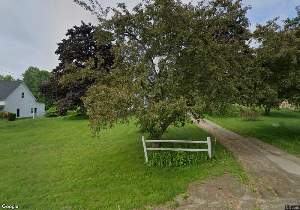
370 High St Belfast, ME 04915
Estimated Value: $255,000 - $377,000
3
Beds
1
Bath
816
Sq Ft
$379/Sq Ft
Est. Value
About This Home
This home is located at 370 High St, Belfast, ME 04915 and is currently estimated at $309,382, approximately $379 per square foot. 370 High St is a home located in Waldo County with nearby schools including Cornerspring Children's House and The School At Sweetser - Belfast.
Create a Home Valuation Report for This Property
The Home Valuation Report is an in-depth analysis detailing your home's value as well as a comparison with similar homes in the area
Home Values in the Area
Average Home Value in this Area
Tax History
| Year | Tax Paid | Tax Assessment Tax Assessment Total Assessment is a certain percentage of the fair market value that is determined by local assessors to be the total taxable value of land and additions on the property. | Land | Improvement |
|---|---|---|---|---|
| 2025 | $3,842 | $235,100 | $140,700 | $94,400 |
| 2024 | $3,602 | $233,900 | $140,700 | $93,200 |
| 2023 | $2,776 | $138,100 | $78,800 | $59,300 |
| 2022 | $2,887 | $134,900 | $78,800 | $56,100 |
| 2021 | $2,968 | $134,900 | $78,800 | $56,100 |
| 2020 | $10,835 | $124,800 | $74,200 | $50,600 |
| 2019 | $1,447 | $94,800 | $34,900 | $59,900 |
| 2018 | $1,467 | $94,800 | $34,900 | $59,900 |
| 2017 | $2,076 | $94,800 | $34,900 | $59,900 |
| 2016 | $1,060 | $94,800 | $34,900 | $59,900 |
| 2015 | $2,124 | $94,800 | $34,900 | $59,900 |
| 2014 | $2,052 | $94,800 | $34,900 | $59,900 |
| 2013 | $1,972 | $94,800 | $34,900 | $59,900 |
Source: Public Records
Map
Nearby Homes
- 388 High St
- 225 Waldo Ave
- 162 Waldo Ave
- 000 Merriam Rd
- 0 Robbins Rd Unit 1634953
- 101 Waldo Ave Unit 3-1
- 0 Patterson Hill Rd Unit Lot 2 1614981
- Lot 5 Waukeag Way
- 17 Marsh Rd
- 37 Jacobs Rd
- 2 Swan Lake Ave
- 18 Waldo Ave
- 183 Main St
- 9 James St
- 12 Ashley Dr
- 53 Lincolnville Ave
- 27 Court St Unit 1
- 73 Swan Lake Ave
- 20 Springbrook Dr Unit TH-6
- 78 High St