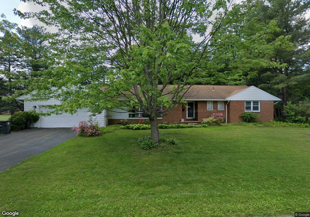
370 Judith Ave Akron, OH 44313
Northwest Akron NeighborhoodEstimated Value: $288,495 - $319,000
3
Beds
4
Baths
1,858
Sq Ft
$162/Sq Ft
Est. Value
About This Home
This home is located at 370 Judith Ave, Akron, OH 44313 and is currently estimated at $301,624, approximately $162 per square foot. 370 Judith Ave is a home located in Summit County with nearby schools including Summit Academy School, Our Lady Of The Elms Elementary School, and St. Hilary Elementary School.
Ownership History
Date
Name
Owned For
Owner Type
Purchase Details
Closed on
Nov 4, 2013
Sold by
Heijmen Raquel H and Heijmen Jeroen A
Bought by
Heijnen Jeroen A and Heijnen Raquel H
Current Estimated Value
Purchase Details
Closed on
May 13, 1999
Sold by
Herrlinger John H
Bought by
Heijnen Jeroen A and Heijnen Raquel H
Home Financials for this Owner
Home Financials are based on the most recent Mortgage that was taken out on this home.
Original Mortgage
$118,400
Interest Rate
6.92%
Create a Home Valuation Report for This Property
The Home Valuation Report is an in-depth analysis detailing your home's value as well as a comparison with similar homes in the area
Home Values in the Area
Average Home Value in this Area
Purchase History
| Date | Buyer | Sale Price | Title Company |
|---|---|---|---|
| Heijnen Jeroen A | -- | None Available | |
| Heijnen Jeroen A | $148,000 | Chicago Title Insurance Comp |
Source: Public Records
Mortgage History
| Date | Status | Borrower | Loan Amount |
|---|---|---|---|
| Closed | Heijnen Jeroen A | $118,400 |
Source: Public Records
Tax History Compared to Growth
Tax History
| Year | Tax Paid | Tax Assessment Tax Assessment Total Assessment is a certain percentage of the fair market value that is determined by local assessors to be the total taxable value of land and additions on the property. | Land | Improvement |
|---|---|---|---|---|
| 2025 | $3,773 | $78,628 | $16,716 | $61,912 |
| 2024 | $3,773 | $78,628 | $16,716 | $61,912 |
| 2023 | $3,773 | $78,628 | $16,716 | $61,912 |
| 2022 | $3,555 | $60,022 | $12,761 | $47,261 |
| 2021 | $3,559 | $60,022 | $12,761 | $47,261 |
| 2020 | $3,506 | $60,020 | $12,760 | $47,260 |
| 2019 | $3,426 | $54,190 | $11,480 | $42,710 |
| 2018 | $3,381 | $54,190 | $11,480 | $42,710 |
| 2017 | $3,638 | $54,190 | $11,480 | $42,710 |
| 2016 | $3,641 | $48,330 | $11,480 | $36,850 |
| 2015 | $3,638 | $48,330 | $11,480 | $36,850 |
| 2014 | $3,610 | $48,330 | $11,480 | $36,850 |
| 2013 | $3,706 | $50,790 | $11,480 | $39,310 |
Source: Public Records
Map
Nearby Homes
- 2079 Wyndham Rd
- 2121 Brookshire Rd
- 311 Goodhue Dr
- 257 Sand Run Rd
- 2033 Wiltshire Rd
- 128 Overwood Rd
- 1785 Fairlawn Knolls Dr
- 2040 Braewick Dr
- 1804-1808 Cromwell Dr
- 1830 Tanglewood Dr
- 2388 Banbury Rd
- 48 S Wheaton Rd
- 47 S Wheaton Rd
- 736 Hampton Ridge Dr Unit 736
- 1725 Liberty Dr Unit 1727
- 441 Sandhurst Rd
- 1697 Liberty Dr Unit 1699
- 590 N Hawkins Ave
- 881 Hampton Ridge Dr
- 1688 Tanglewood Dr Unit 1690
- 2039 Brookshire Rd
- 369 Judith Ave
- 384 Judith Ave
- 2047 Brookshire Rd
- 2038 Wyndham Rd
- 383 Judith Ave
- 2030 Brookshire Rd
- 2046 Wyndham Rd
- 2016 Brookshire Rd
- 2038 Brookshire Rd
- 2007 Brookshire Rd
- 2055 Brookshire Rd
- 2006 Wyndham Rd
- 2048 Brookshire Rd
- 2054 Wyndham Rd
- 2006 Brookshire Rd
- 1999 Brookshire Rd
- 2063 Brookshire Rd
- 2056 Brookshire Rd
- 2031 Wyndham Rd