370 Knapp Rd Colville, WA 99114
Estimated Value: $246,690 - $454,000
3
Beds
1
Bath
1,144
Sq Ft
$307/Sq Ft
Est. Value
About This Home
This home is located at 370 Knapp Rd, Colville, WA 99114 and is currently estimated at $351,673, approximately $307 per square foot. 370 Knapp Rd is a home located in Stevens County with nearby schools including Hofstetter Elementary School, Fort Colville Elementary School, and Colville Junior High School.
Ownership History
Date
Name
Owned For
Owner Type
Purchase Details
Closed on
Aug 20, 2019
Sold by
Wells Darlene E
Bought by
Beardsley Chad B and Nigg Cassi M
Current Estimated Value
Purchase Details
Closed on
Jul 24, 2013
Sold by
Wells Darlene E
Bought by
Beardsley Chad B and Nigg Cassi M
Home Financials for this Owner
Home Financials are based on the most recent Mortgage that was taken out on this home.
Original Mortgage
$75,000
Interest Rate
5%
Mortgage Type
Seller Take Back
Create a Home Valuation Report for This Property
The Home Valuation Report is an in-depth analysis detailing your home's value as well as a comparison with similar homes in the area
Home Values in the Area
Average Home Value in this Area
Purchase History
| Date | Buyer | Sale Price | Title Company |
|---|---|---|---|
| Beardsley Chad B | $49,043 | None Available | |
| Beardsley Chad B | $100,000 | Stevens County Title Company |
Source: Public Records
Mortgage History
| Date | Status | Borrower | Loan Amount |
|---|---|---|---|
| Closed | Beardsley Chad B | $75,000 | |
| Closed | Beardsley Chad B | $0 |
Source: Public Records
Tax History Compared to Growth
Tax History
| Year | Tax Paid | Tax Assessment Tax Assessment Total Assessment is a certain percentage of the fair market value that is determined by local assessors to be the total taxable value of land and additions on the property. | Land | Improvement |
|---|---|---|---|---|
| 2024 | $879 | $131,880 | $80,000 | $51,880 |
| 2023 | $792 | $119,065 | $80,000 | $39,065 |
| 2022 | $781 | $108,938 | $80,000 | $28,938 |
| 2021 | $862 | $108,730 | $80,000 | $28,730 |
| 2020 | $935 | $108,730 | $80,000 | $28,730 |
| 2019 | $952 | $115,795 | $80,000 | $35,795 |
| 2018 | $1,113 | $115,795 | $80,000 | $35,795 |
| 2017 | $1,008 | $115,795 | $80,000 | $35,795 |
| 2016 | $1,026 | $115,795 | $80,000 | $35,795 |
| 2015 | $1,055 | $116,482 | $80,000 | $36,482 |
| 2013 | -- | $131,655 | $96,000 | $35,655 |
Source: Public Records
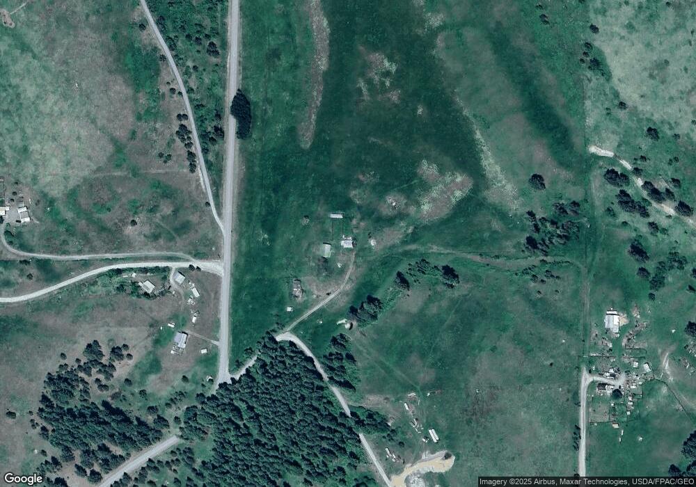
Map
Nearby Homes
- 395A Old Dominion Rd
- 395 Old Dominion Rd
- 410 Prouty Corner Loop Rd
- 520 Knapp Rd
- 176 Aladdin Rd
- 2135 Whitetail Way
- Xxx Aladdin Rd
- 2058 Ringneck Loop
- 2082 Whitetail Way
- 2037 Ringneck Loop
- 540 Dolomite Rd
- 717 Conrad Hill Way
- 493 Mumau Rd
- 755 Conrad Hill Way
- 1900 Tamarack St
- 1650ABC E Fairway Loop Rd
- 1650 E Fairway Loop Rd
- 564 Old Dominion Rd
- 170-TBD State Route 20
- 1023 Olympic Way
- 370 Knapp Rd
- 373 Knapp Rd
- 373 Knapp Rd
- 373 Knapp Rd
- 373 Knapp Rd
- 373 Knapp Rd
- 408 Poor Farm Rd
- XX Poor Farm
- NNA Poor Farm Rd
- 403 Ridgetop Way
- Lot 1&2 Ridgetop Way
- Lots 1 & 2 Ridgetop Way
- LOT 1 & 2 Ridgetop Way
- TBD Poor Farm Rd
- 395 Poor Farm Rd
- 401 Knapp Rd
- 410 Poor Farm Rd
- 400 Poor Farm Rd
- XXX Poor Farm Rd
- 405 Ridgetop Way