370 Lane 7 1/2 Powell, WY 82435
Estimated Value: $776,775 - $1,089,000
3
Beds
3
Baths
2,401
Sq Ft
$385/Sq Ft
Est. Value
About This Home
This home is located at 370 Lane 7 1/2, Powell, WY 82435 and is currently estimated at $923,258, approximately $384 per square foot. 370 Lane 7 1/2 is a home with nearby schools including Southside Elementary School, Clark Elementary School, and Powell Middle School.
Ownership History
Date
Name
Owned For
Owner Type
Purchase Details
Closed on
Feb 22, 2022
Sold by
Kodiak Properties Llc
Bought by
Stanfield Cassidy Dyane and Norby Matthew Richard
Current Estimated Value
Purchase Details
Closed on
Aug 10, 2021
Sold by
Maneval Jerry L and Maneval Laura J
Bought by
Kodiak Properties Llc
Home Financials for this Owner
Home Financials are based on the most recent Mortgage that was taken out on this home.
Original Mortgage
$98,328
Interest Rate
2.9%
Mortgage Type
Credit Line Revolving
Purchase Details
Closed on
Dec 1, 2015
Sold by
Porter Nancy
Bought by
Brando Zachary T and Brando Tiffany L
Create a Home Valuation Report for This Property
The Home Valuation Report is an in-depth analysis detailing your home's value as well as a comparison with similar homes in the area
Home Values in the Area
Average Home Value in this Area
Purchase History
| Date | Buyer | Sale Price | Title Company |
|---|---|---|---|
| Stanfield Cassidy Dyane | -- | None Listed On Document | |
| Kodiak Properties Llc | -- | First American Title | |
| Brando Zachary T | -- | None Available |
Source: Public Records
Mortgage History
| Date | Status | Borrower | Loan Amount |
|---|---|---|---|
| Previous Owner | Kodiak Properties Llc | $98,328 |
Source: Public Records
Tax History Compared to Growth
Tax History
| Year | Tax Paid | Tax Assessment Tax Assessment Total Assessment is a certain percentage of the fair market value that is determined by local assessors to be the total taxable value of land and additions on the property. | Land | Improvement |
|---|---|---|---|---|
| 2025 | $3,968 | $56,061 | $9,113 | $46,948 |
| 2024 | $5,087 | $71,873 | $11,683 | $60,190 |
| 2023 | $4,852 | $69,558 | $11,683 | $57,875 |
| 2022 | $4,110 | $58,914 | $7,368 | $51,546 |
| 2021 | $3,492 | $49,326 | $6,490 | $42,836 |
| 2020 | $3,275 | $46,006 | $6,490 | $39,516 |
| 2019 | $3,138 | $43,894 | $5,913 | $37,981 |
| 2018 | $3,029 | $42,373 | $5,723 | $36,650 |
| 2017 | $2,892 | $40,591 | $5,727 | $34,864 |
| 2016 | $395 | $5,691 | $5,691 | $0 |
| 2015 | -- | $5,501 | $5,501 | $0 |
Source: Public Records
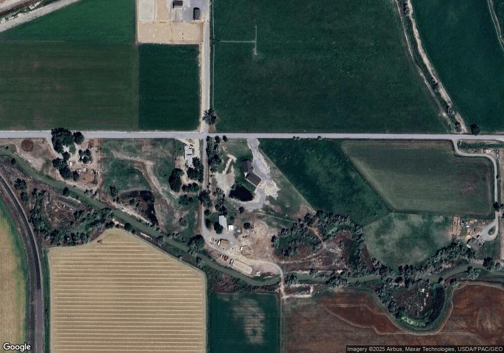
Map
Nearby Homes
- TBD Wyoming 114 Unit Parcel B
- TBD Wyoming 114 Unit Parcel D
- TBD Wyoming 114 Unit Parcel C
- TBD Road 4
- TBD Lane 7 Unit Lot 3
- TBD Lane 7 Unit Lot 1
- TBD Lane 7 Unit Lot 2
- TBD Lane 8 1 2
- 871 E Christy Ln
- 0 Tbd Rd 6 Unit LotWP001
- 810 Road 6
- TBD Road 6
- 952 Road 6
- TBD Lane 10 Unit Lot 3
- TBD Lane 10
- TBD Lane 10 Unit Lot 4
- TBD Lane 10 Unit Lot 2
- 950 Road 7
- 124 Highway 14a W
- 698 Road 8