370 Lennox Rd Dublin, GA 31021
Estimated Value: $109,000 - $268,000
1
Bed
2
Baths
1,024
Sq Ft
$154/Sq Ft
Est. Value
About This Home
This home is located at 370 Lennox Rd, Dublin, GA 31021 and is currently estimated at $157,608, approximately $153 per square foot. 370 Lennox Rd is a home located in Laurens County with nearby schools including Southwest Laurens Elementary School, Northwest Laurens Elementary School, and East Laurens Primary School.
Ownership History
Date
Name
Owned For
Owner Type
Purchase Details
Closed on
Mar 27, 2019
Sold by
Woodward Robert J
Bought by
Murray Francis Patric and Murray Cheryl E
Current Estimated Value
Home Financials for this Owner
Home Financials are based on the most recent Mortgage that was taken out on this home.
Original Mortgage
$50,000
Outstanding Balance
$43,415
Interest Rate
4.3%
Mortgage Type
New Conventional
Estimated Equity
$114,193
Purchase Details
Closed on
Sep 18, 2017
Sold by
Scott Walker
Bought by
Woodward Robert J
Home Financials for this Owner
Home Financials are based on the most recent Mortgage that was taken out on this home.
Original Mortgage
$48,500
Interest Rate
3.89%
Mortgage Type
New Conventional
Purchase Details
Closed on
Feb 28, 2008
Sold by
Cardinal Land Company Llc
Bought by
Water Scott
Purchase Details
Closed on
Aug 14, 2002
Bought by
Cardinal Land Company Llc
Create a Home Valuation Report for This Property
The Home Valuation Report is an in-depth analysis detailing your home's value as well as a comparison with similar homes in the area
Home Values in the Area
Average Home Value in this Area
Purchase History
| Date | Buyer | Sale Price | Title Company |
|---|---|---|---|
| Murray Francis Patric | $60,000 | -- | |
| Woodward Robert J | $50,000 | -- | |
| Water Scott | $20,000 | -- | |
| Cardinal Land Company Llc | $400,000 | -- |
Source: Public Records
Mortgage History
| Date | Status | Borrower | Loan Amount |
|---|---|---|---|
| Open | Murray Francis Patric | $50,000 | |
| Previous Owner | Woodward Robert J | $48,500 |
Source: Public Records
Tax History
| Year | Tax Paid | Tax Assessment Tax Assessment Total Assessment is a certain percentage of the fair market value that is determined by local assessors to be the total taxable value of land and additions on the property. | Land | Improvement |
|---|---|---|---|---|
| 2025 | $567 | $35,308 | $7,150 | $28,158 |
| 2024 | $612 | $31,096 | $5,200 | $25,896 |
| 2023 | $330 | $17,536 | $5,200 | $12,336 |
| 2022 | $380 | $17,536 | $5,200 | $12,336 |
| 2021 | $374 | $16,881 | $5,850 | $11,031 |
| 2020 | $375 | $16,881 | $5,850 | $11,031 |
| 2019 | $419 | $16,881 | $5,850 | $11,031 |
| 2018 | $419 | $16,881 | $5,850 | $11,031 |
| 2017 | $419 | $16,881 | $5,850 | $11,031 |
| 2016 | $376 | $16,881 | $5,850 | $11,031 |
| 2015 | $376 | $16,881 | $5,850 | $11,031 |
| 2014 | $290 | $12,684 | $5,200 | $7,484 |
Source: Public Records
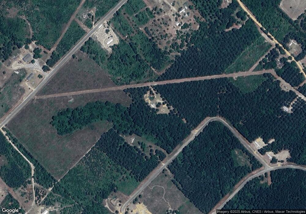
Map
Nearby Homes
- 330 Lennox Rd
- 1962 Anderson Rd
- 0 Scotland Rd Unit 27090010
- 1667 Richard Moore Rd
- 605 Claire Ln
- 00 Dannah Dr
- 1608 Scottland Rd
- 1608 Scotland Rd
- 3 Scotland Rd
- 6 Scotland Rd
- 5 Scotland Rd
- 2 Scotland Rd
- 4 Scotland Rd
- 3010 Lennox Ln
- 3150 S Highway 441
- 00 S Highway 441
- 0 Meeks Rd Unit 10148079
- 2.0 ACRES Saint Mark Rd
- 1193 Coleman Register Rd
- 1187 Coleman Register Rd
- 370 Lennox Rd
- 362 Lennox Rd
- 355 Lennox Rd
- 677 Dixon Rd
- 1729 Mayberry Rd
- 1721 Mayberry Rd
- 1851 Anderson Rd
- 1765 Mayberry Rd
- 634 Dixon Rd
- 1749 Mayberry Rd
- 1748 Mayberry Rd
- 0 Lenox Dr Unit LOT 26 10029248
- 0 Lenox Dr Unit 26 10070262
- 0 Lenox Dr Unit 7082240
- 0 Lenox Lot 26 Dr Unit 10029248
- 0 Lenox Lot 26 Dr Unit 7017086
- 668 Dixon Rd
- 658 Dixon Rd
- 684 Dixon Rd
- 1875 Anderson Rd
Your Personal Tour Guide
Ask me questions while you tour the home.