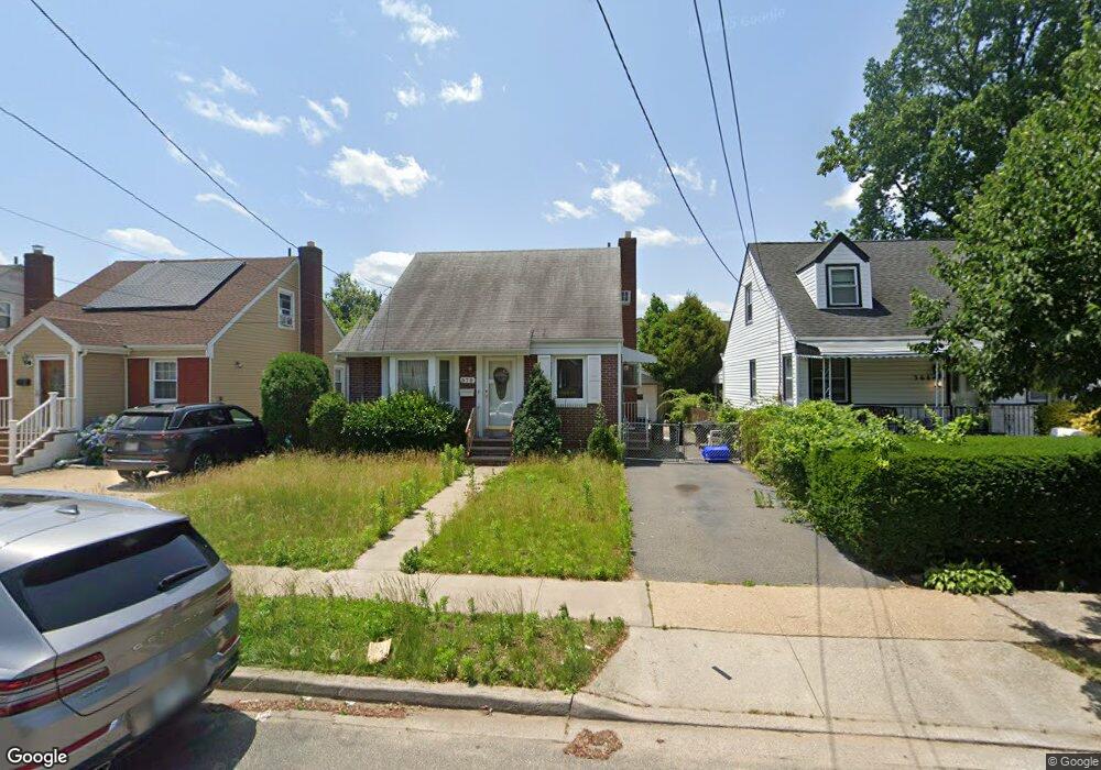
370 Locust Ave Uniondale, NY 11553
Estimated Value: $549,859 - $668,000
--
Bed
1
Bath
1,127
Sq Ft
$540/Sq Ft
Est. Value
About This Home
This home is located at 370 Locust Ave, Uniondale, NY 11553 and is currently estimated at $608,930, approximately $540 per square foot. 370 Locust Ave is a home located in Nassau County with nearby schools including Walnut Street Elementary School, Turtle Hook Middle School, and Uniondale High School.
Ownership History
Date
Name
Owned For
Owner Type
Purchase Details
Closed on
Oct 29, 2024
Sold by
Carter Inez and Estate Of Hattie Mae Jackson
Bought by
Carter Inez
Current Estimated Value
Create a Home Valuation Report for This Property
The Home Valuation Report is an in-depth analysis detailing your home's value as well as a comparison with similar homes in the area
Home Values in the Area
Average Home Value in this Area
Purchase History
| Date | Buyer | Sale Price | Title Company |
|---|---|---|---|
| Carter Inez | -- | None Available | |
| Carter Inez | -- | None Available | |
| Carter Inez | -- | None Available |
Source: Public Records
Tax History Compared to Growth
Tax History
| Year | Tax Paid | Tax Assessment Tax Assessment Total Assessment is a certain percentage of the fair market value that is determined by local assessors to be the total taxable value of land and additions on the property. | Land | Improvement |
|---|---|---|---|---|
| 2025 | $8,255 | $342 | $110 | $232 |
| 2024 | $2,806 | $342 | $110 | $232 |
| 2023 | $6,902 | $362 | $119 | $243 |
| 2022 | $6,902 | $342 | $110 | $232 |
| 2021 | $7,457 | $340 | $109 | $231 |
| 2020 | $8,247 | $341 | $340 | $1 |
| 2019 | $4,768 | $341 | $340 | $1 |
| 2018 | $4,629 | $363 | $0 | $0 |
| 2017 | $3,067 | $386 | $381 | $5 |
| 2016 | $4,944 | $408 | $333 | $75 |
| 2015 | $1,963 | $431 | $352 | $79 |
| 2014 | $1,963 | $431 | $352 | $79 |
| 2013 | $2,173 | $494 | $403 | $91 |
Source: Public Records
Map
Nearby Homes
- 374 Locust Ave
- 366 Locust Ave
- 362 Locust Ave
- 378 Locust Ave
- 361 Emerson Place
- 358 Locust Ave
- 382 Locust Ave
- 355 Emerson Place
- 345 Emerson Place
- 369 Locust Ave
- 365 Locust Ave
- 365 Emerson Place
- 373 Locust Ave
- 361 Locust Ave
- 354 Locust Ave
- 377 Locust Ave
- 341 Emerson Place
- 357 Locust Ave
- 371 Emerson Place
- 335 Emerson Place