Estimated Value: $105,000 - $254,000
--
Bed
1
Bath
760
Sq Ft
$202/Sq Ft
Est. Value
About This Home
This home is located at 370 Mallard and Pye Rd, Odum, GA 31555 and is currently estimated at $153,203, approximately $201 per square foot. 370 Mallard and Pye Rd is a home located in Wayne County with nearby schools including Odum Elementary School, Martha Puckett Middle School, and Wayne County High School.
Ownership History
Date
Name
Owned For
Owner Type
Purchase Details
Closed on
Dec 20, 2018
Sold by
Floye Strickland Hyslop
Bought by
Oliver John
Current Estimated Value
Home Financials for this Owner
Home Financials are based on the most recent Mortgage that was taken out on this home.
Original Mortgage
$81,600
Outstanding Balance
$71,629
Interest Rate
4.62%
Estimated Equity
$81,574
Purchase Details
Closed on
Feb 1, 2003
Bought by
Landon Gussie Mae
Create a Home Valuation Report for This Property
The Home Valuation Report is an in-depth analysis detailing your home's value as well as a comparison with similar homes in the area
Home Values in the Area
Average Home Value in this Area
Purchase History
| Date | Buyer | Sale Price | Title Company |
|---|---|---|---|
| Oliver John | $96,000 | -- | |
| Landon Gussie Mae | -- | -- | |
| Strickland Doris Barber | -- | -- |
Source: Public Records
Mortgage History
| Date | Status | Borrower | Loan Amount |
|---|---|---|---|
| Open | Oliver John | $81,600 | |
| Closed | Oliver John | -- |
Source: Public Records
Tax History Compared to Growth
Tax History
| Year | Tax Paid | Tax Assessment Tax Assessment Total Assessment is a certain percentage of the fair market value that is determined by local assessors to be the total taxable value of land and additions on the property. | Land | Improvement |
|---|---|---|---|---|
| 2024 | $617 | $31,574 | $16,906 | $14,668 |
| 2023 | $895 | $29,818 | $16,906 | $12,912 |
| 2022 | $588 | $27,359 | $16,906 | $10,453 |
| 2021 | $563 | $25,568 | $16,906 | $8,662 |
| 2020 | $527 | $29,398 | $20,736 | $8,662 |
| 2019 | $536 | $29,398 | $20,736 | $8,662 |
| 2018 | $545 | $29,398 | $20,736 | $8,662 |
| 2017 | $464 | $29,398 | $20,736 | $8,662 |
| 2016 | $443 | $29,398 | $20,736 | $8,662 |
| 2014 | $434 | $29,398 | $20,736 | $8,662 |
| 2013 | -- | $8,662 | $0 | $8,662 |
Source: Public Records
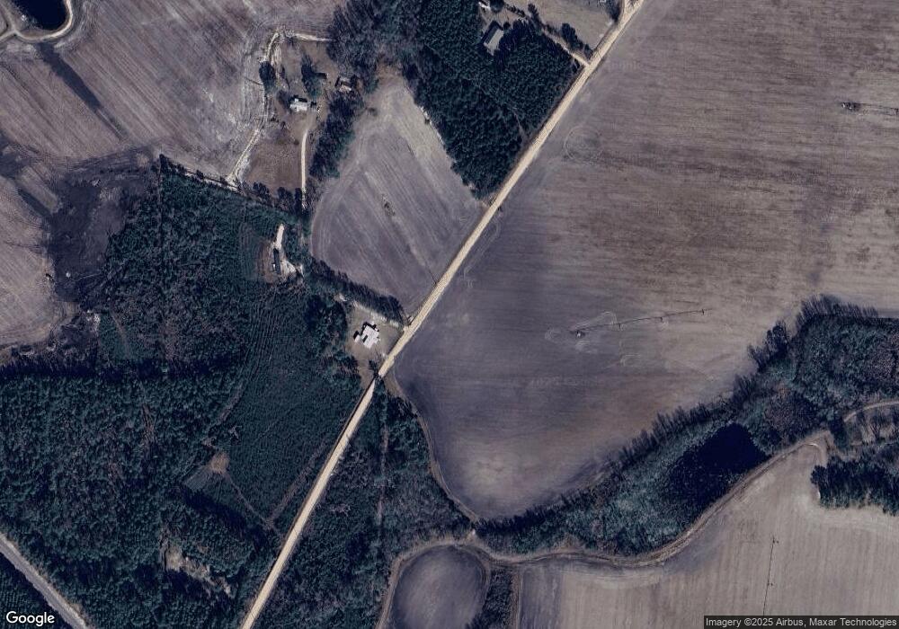
Map
Nearby Homes
- Morris Break Rd
- Morris Break Rd
- Morris Break Rd
- 11235 Lanes Bridge Rd
- 92 Sparrow Ln
- 330 Troy Pearson Rd
- 192 Hummingbird Ln
- 0 Old River Rd Unit 10329316
- 236 Three C Rd
- 272 Three C Rd
- 300 Three C Rd
- 239 Troy Pearson Rd
- 128 Three C Rd
- 17380 Lanes Bridge Rd
- 17614 Lanes Bridge Rd
- 88 Northshore Ave
- 192 Northshore Ave
- 200 Northshore Ave
- 177 Northshore Ave
- 440 Arnold River Rd
- 663 Mallard and Pye Rd
- 12262 Lanes Bridge Rd
- 31 Mallard and Pye Rd
- 856 Mallard and Pye Rd
- 800 Mallard and Pye Rd
- 12292 Lanes Bridge Rd
- 891 New Hope Rd
- 897 New Hope Rd
- 824 New Hope Rd
- 776 New Hope Rd
- 1041 Mallard and Pye Rd
- 93 Melvin Westberry Rd
- 391 New Hope Rd
- 12135 Lanes Bridge Rd
- 12105 Lanes Bridge Rd
- 12849 Lanes Bridge Rd
- 12005 Lanes Bridge Rd
- 115 New Hope Rd
- 112 Janet Rd
- 1375 New Hope Rd