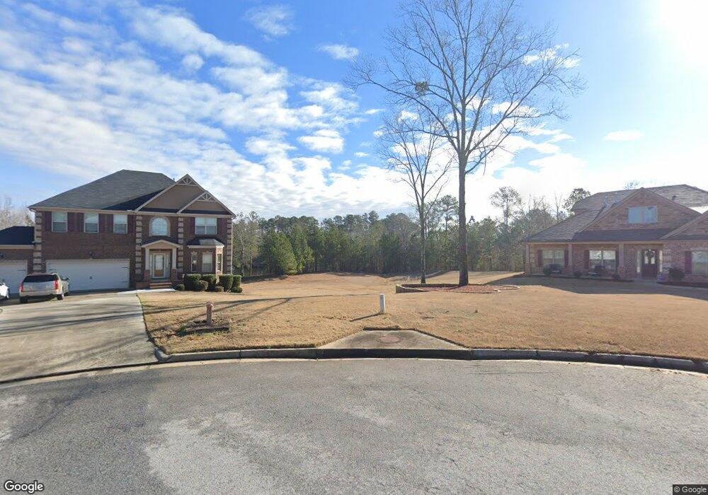
370 Mcdonough Rd Fayetteville, GA 30214
Estimated Value: $361,000 - $430,535
--
Bed
2
Baths
1,969
Sq Ft
$204/Sq Ft
Est. Value
About This Home
This home is located at 370 Mcdonough Rd, Fayetteville, GA 30214 and is currently estimated at $401,384, approximately $203 per square foot. 370 Mcdonough Rd is a home located in Fayette County with nearby schools including Inman Elementary School, Bennett's Mill Middle School, and Fayette County High School.
Ownership History
Date
Name
Owned For
Owner Type
Purchase Details
Closed on
Aug 6, 2025
Sold by
Finch Lanny and Finch Emmett Landrum
Bought by
370 Mcdonough Rd Llc
Current Estimated Value
Purchase Details
Closed on
Aug 5, 2025
Sold by
Finch David Elton
Bought by
Armstrong Marilyn and Finch Emmett Landrum
Purchase Details
Closed on
Apr 11, 2000
Sold by
Carden Andy H and Carden Grace V
Bought by
Finch Lanny
Home Financials for this Owner
Home Financials are based on the most recent Mortgage that was taken out on this home.
Original Mortgage
$70,000
Interest Rate
7.5%
Mortgage Type
New Conventional
Create a Home Valuation Report for This Property
The Home Valuation Report is an in-depth analysis detailing your home's value as well as a comparison with similar homes in the area
Home Values in the Area
Average Home Value in this Area
Purchase History
| Date | Buyer | Sale Price | Title Company |
|---|---|---|---|
| 370 Mcdonough Rd Llc | $235,000 | None Listed On Document | |
| Armstrong Marilyn | -- | None Listed On Document | |
| Finch Lanny | $230,000 | -- |
Source: Public Records
Mortgage History
| Date | Status | Borrower | Loan Amount |
|---|---|---|---|
| Previous Owner | Finch Lanny | $70,000 |
Source: Public Records
Tax History Compared to Growth
Tax History
| Year | Tax Paid | Tax Assessment Tax Assessment Total Assessment is a certain percentage of the fair market value that is determined by local assessors to be the total taxable value of land and additions on the property. | Land | Improvement |
|---|---|---|---|---|
| 2024 | $1,265 | $172,656 | $54,628 | $118,028 |
| 2023 | $1,265 | $156,616 | $46,656 | $109,960 |
| 2022 | $1,094 | $144,992 | $40,672 | $104,320 |
| 2021 | $855 | $115,084 | $36,684 | $78,400 |
| 2020 | $752 | $98,868 | $29,988 | $68,880 |
| 2019 | $1,722 | $95,868 | $29,988 | $65,880 |
| 2018 | $1,587 | $87,728 | $26,728 | $61,000 |
| 2017 | $1,419 | $78,196 | $26,076 | $52,120 |
| 2016 | $1,339 | $71,956 | $26,076 | $45,880 |
| 2015 | $1,275 | $67,396 | $26,076 | $41,320 |
| 2014 | $1,210 | $62,636 | $26,076 | $36,560 |
| 2013 | -- | $63,076 | $0 | $0 |
Source: Public Records
Map
Nearby Homes
- 170 Pleasant Point Way
- 115 Bre Dr
- Clarity Plan at Riverbend Overlook
- Henry II Plan at Riverbend Overlook
- 110 Bre Dr
- Emerson II Plan at Riverbend Overlook
- Rosemary II Plan at Riverbend Overlook
- 175 Oak Manor
- 120 Cooper Cove E
- 120 Cooper Cove W
- 145 Cooper Cove E
- 160 Cooper Cove W
- 125 Cooper W
- 150 Oak Manor
- 125 Oak Knoll Unit 1
- 110 4th St
- 62 Homesite Cooper Cove W
- 151 County Line Rd
- 135 Pamela Ct
- 375 Rocky Fork Blvd
- 365 Rocky Fork Blvd
- 370 Rocky Fork Blvd Unit 26
- 370 Rocky Fork Blvd
- 355 Rocky Fork Blvd Unit LOT 29
- 355 Rocky Fork Blvd
- 360 Rocky Fork Blvd
- 345 Rocky Fork Blvd Unit LOT 30
- 345 Rocky Fork Blvd
- 350 Rocky Fork Blvd
- 335 Rocky Fork Blvd
- 340 Rocky Fork Blvd Unit LOT 23
- 340 Rocky Fork Blvd
- 325 Rocky Fork Blvd
- 330 Rocky Fork Blvd Unit LOT 22
- 315 Rocky Fork Blvd Unit LOT 33
- 315 Rocky Fork Blvd
- 310 Rocky Fork Blvd
- 285 Rocky Fork Blvd Unit LOT 34
- 285 Rocky Fork Blvd