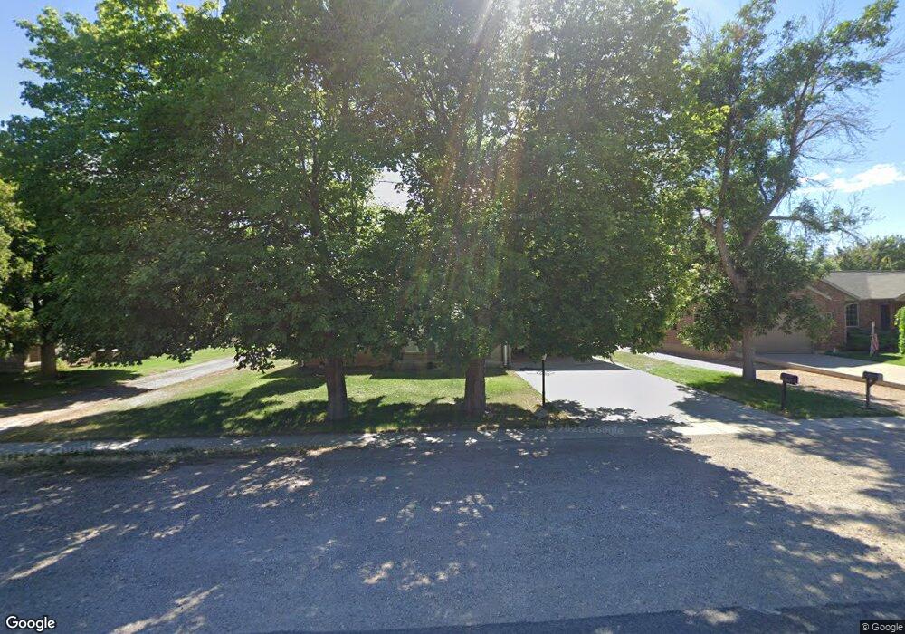
370 N Main St Fillmore, UT 84631
Estimated Value: $256,868 - $434,000
--
Bed
--
Bath
--
Sq Ft
0.78
Acres
About This Home
This home is located at 370 N Main St, Fillmore, UT 84631 and is currently estimated at $340,467. 370 N Main St is a home.
Ownership History
Date
Name
Owned For
Owner Type
Purchase Details
Closed on
Nov 2, 2024
Sold by
Estrada Virginia
Bought by
Virginia Rivas De Estrada Revocable Living Tr and Estrada De
Current Estimated Value
Purchase Details
Closed on
Aug 18, 2014
Sold by
Cochell Tracy A and Cochell Jana
Bought by
Estrada Virginia
Purchase Details
Closed on
Oct 23, 2009
Sold by
Whatcott Bart A
Bought by
Wahtcott Tracy A and Cochell Jana
Purchase Details
Closed on
Mar 4, 2008
Sold by
Whatcott Beth B
Bought by
Whatcott Bary A and Whatcott Tracy A
Create a Home Valuation Report for This Property
The Home Valuation Report is an in-depth analysis detailing your home's value as well as a comparison with similar homes in the area
Home Values in the Area
Average Home Value in this Area
Purchase History
| Date | Buyer | Sale Price | Title Company |
|---|---|---|---|
| Virginia Rivas De Estrada Revocable Living Tr | -- | None Listed On Document | |
| Virginia Rivas De Estrada Revocable Living Tr | -- | None Listed On Document | |
| Estrada Virginia | -- | First American Title Insur | |
| Wahtcott Tracy A | -- | -- | |
| Whatcott Bary A | -- | -- |
Source: Public Records
Tax History Compared to Growth
Tax History
| Year | Tax Paid | Tax Assessment Tax Assessment Total Assessment is a certain percentage of the fair market value that is determined by local assessors to be the total taxable value of land and additions on the property. | Land | Improvement |
|---|---|---|---|---|
| 2025 | $1,110 | $139,446 | $41,793 | $97,653 |
| 2024 | $1,110 | $117,868 | $29,055 | $88,813 |
| 2023 | $1,292 | $117,868 | $29,055 | $88,813 |
| 2022 | $1,031 | $92,563 | $26,414 | $66,149 |
| 2021 | $875 | $75,426 | $17,152 | $58,274 |
| 2020 | $808 | $70,086 | $15,593 | $54,493 |
| 2019 | $701 | $60,971 | $15,593 | $45,378 |
| 2018 | $670 | $59,692 | $15,593 | $44,099 |
| 2017 | $547 | $46,312 | $15,593 | $30,719 |
| 2016 | $523 | $46,312 | $15,593 | $30,719 |
| 2015 | $524 | $46,312 | $15,593 | $30,719 |
| 2014 | -- | $46,312 | $15,593 | $30,719 |
| 2013 | -- | $46,312 | $15,593 | $30,719 |
Source: Public Records
Map
Nearby Homes
- 390 N 100 W
- 295 N 100 West St
- 380 N 200 St W
- 165 N 100 W
- 225 W 200 St N
- 75 N 100 West St
- 335 W 400 North St
- 40 S 100 Rd E
- 120 S 100 East Rd
- 220 S 200 E
- 410 W 400 N
- 430 E Canyon Rd
- 2155 N Cedar Mountain Rd
- 2835 N Cedar Mountain Rd
- 190 W 400 St S
- 310 S 600 E
- 310 S 500 West Rd
- 155 E 500 St S
- 157 E 500 South St
- 600 E 1200 St N