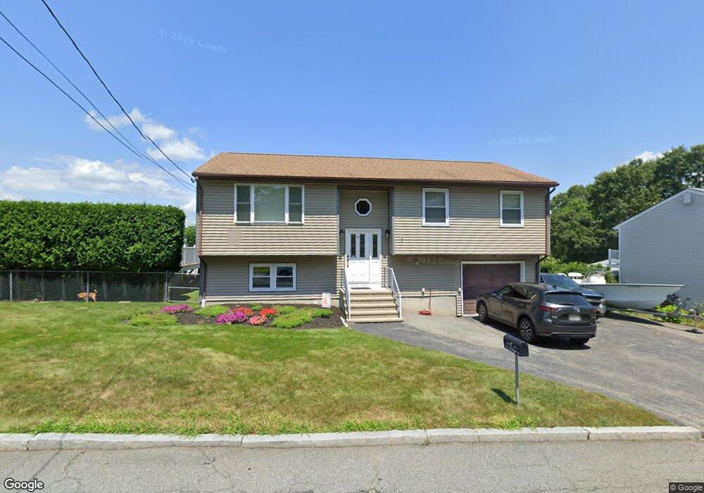
370 Newhall St Fall River, MA 02721
Maplewood NeighborhoodEstimated Value: $498,404 - $536,000
3
Beds
2
Baths
2,118
Sq Ft
$242/Sq Ft
Est. Value
About This Home
This home is located at 370 Newhall St, Fall River, MA 02721 and is currently estimated at $511,851, approximately $241 per square foot. 370 Newhall St is a home located in Bristol County with nearby schools including Letourneau Elementary School, Matthew J. Kuss Middle School, and B M C Durfee High School.
Ownership History
Date
Name
Owned For
Owner Type
Purchase Details
Closed on
Sep 28, 1989
Sold by
Carvalho Joseph
Bought by
Cabral Gary M
Current Estimated Value
Home Financials for this Owner
Home Financials are based on the most recent Mortgage that was taken out on this home.
Original Mortgage
$89,000
Interest Rate
9.92%
Mortgage Type
Purchase Money Mortgage
Create a Home Valuation Report for This Property
The Home Valuation Report is an in-depth analysis detailing your home's value as well as a comparison with similar homes in the area
Home Values in the Area
Average Home Value in this Area
Purchase History
| Date | Buyer | Sale Price | Title Company |
|---|---|---|---|
| Cabral Gary M | $139,000 | -- |
Source: Public Records
Mortgage History
| Date | Status | Borrower | Loan Amount |
|---|---|---|---|
| Closed | Cabral Gary M | $77,900 | |
| Closed | Cabral Gary M | $89,000 |
Source: Public Records
Tax History
| Year | Tax Paid | Tax Assessment Tax Assessment Total Assessment is a certain percentage of the fair market value that is determined by local assessors to be the total taxable value of land and additions on the property. | Land | Improvement |
|---|---|---|---|---|
| 2025 | $5,020 | $438,400 | $136,800 | $301,600 |
| 2024 | $4,479 | $389,800 | $131,600 | $258,200 |
| 2023 | $4,528 | $369,000 | $125,200 | $243,800 |
| 2022 | $3,983 | $315,600 | $116,000 | $199,600 |
| 2021 | $4,127 | $298,400 | $115,700 | $182,700 |
| 2020 | $4,008 | $277,400 | $109,400 | $168,000 |
| 2019 | $3,670 | $251,700 | $107,300 | $144,400 |
| 2018 | $3,535 | $241,800 | $107,300 | $134,500 |
| 2017 | $3,326 | $237,600 | $104,200 | $133,400 |
| 2016 | $3,151 | $231,200 | $104,200 | $127,000 |
| 2015 | $2,921 | $223,300 | $104,200 | $119,100 |
| 2014 | $2,809 | $223,300 | $104,200 | $119,100 |
Source: Public Records
Map
Nearby Homes
- 0 Hancock St
- 186 Spencer St
- 664 Norman St
- 0 Stafford Rd Unit 1393774
- 0 Stafford Rd Unit 73431501
- 38 Hummingbird Ln
- 21 Nightingale Ln
- 18 Mockingbird Ln
- 95 Hiatt St
- 0 Sheldon St
- 206 Songbird Ln
- 185 Stafford Rd
- 84 Lark Ln
- 37 Bluejay St
- 3 Blackbird St
- 1082 Hancock St
- 71 Blackbird St
- 495 Chicago St
- 93 Lawton St
- 59 Denver St
Your Personal Tour Guide
Ask me questions while you tour the home.