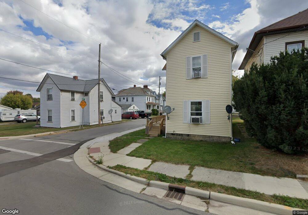
370 Nunin Ct Marion, OH 43302
Estimated Value: $99,204 - $163,000
3
Beds
1
Bath
1,346
Sq Ft
$95/Sq Ft
Est. Value
About This Home
This home is located at 370 Nunin Ct, Marion, OH 43302 and is currently estimated at $127,301, approximately $94 per square foot. 370 Nunin Ct is a home located in Marion County with nearby schools including James A. Garfield Elementary School, Ulysses S. Grant Middle School, and Harding High School.
Ownership History
Date
Name
Owned For
Owner Type
Purchase Details
Closed on
Aug 23, 2011
Sold by
Federal Home Loan Mortgage Corporation
Bought by
Dunn Brad M and Dunn Nancy
Current Estimated Value
Purchase Details
Closed on
Jul 15, 2011
Sold by
Thomas Linda L
Bought by
Federal Home Loan Mortgage Corporation
Purchase Details
Closed on
Apr 24, 2008
Sold by
Mayberry Properties Llc
Bought by
Thomas Linda L and Thomas Mark
Home Financials for this Owner
Home Financials are based on the most recent Mortgage that was taken out on this home.
Original Mortgage
$69,300
Interest Rate
5.93%
Mortgage Type
New Conventional
Purchase Details
Closed on
Jan 9, 2008
Sold by
Smith Harold S
Bought by
Deutsche Bank National Trust Co and Long Beach Mortgage Loan Trust
Create a Home Valuation Report for This Property
The Home Valuation Report is an in-depth analysis detailing your home's value as well as a comparison with similar homes in the area
Home Values in the Area
Average Home Value in this Area
Purchase History
| Date | Buyer | Sale Price | Title Company |
|---|---|---|---|
| Dunn Brad M | $16,900 | None Available | |
| Federal Home Loan Mortgage Corporation | $30,000 | None Available | |
| Thomas Linda L | $77,000 | Angie Vantage Land Title | |
| Deutsche Bank National Trust Co | $34,000 | None Available |
Source: Public Records
Mortgage History
| Date | Status | Borrower | Loan Amount |
|---|---|---|---|
| Previous Owner | Thomas Linda L | $69,300 |
Source: Public Records
Tax History
| Year | Tax Paid | Tax Assessment Tax Assessment Total Assessment is a certain percentage of the fair market value that is determined by local assessors to be the total taxable value of land and additions on the property. | Land | Improvement |
|---|---|---|---|---|
| 2025 | $915 | $27,890 | $1,340 | $26,550 |
| 2024 | $915 | $23,820 | $1,310 | $22,510 |
| 2023 | $915 | $23,820 | $1,310 | $22,510 |
| 2022 | $849 | $23,820 | $1,310 | $22,510 |
| 2021 | $1,238 | $19,000 | $1,130 | $17,870 |
| 2020 | $1,113 | $19,000 | $1,130 | $17,870 |
| 2019 | $734 | $19,000 | $1,130 | $17,870 |
| 2018 | $1,260 | $18,710 | $1,120 | $17,590 |
| 2017 | $1,013 | $18,710 | $1,120 | $17,590 |
| 2016 | $726 | $18,710 | $1,120 | $17,590 |
| 2015 | $728 | $18,340 | $1,070 | $17,270 |
| 2014 | $1,101 | $18,340 | $1,070 | $17,270 |
| 2012 | $899 | $22,470 | $1,240 | $21,230 |
Source: Public Records
Map
Nearby Homes
- 374 Nunin Ct
- 302 Blaine Ave
- 313 Windsor St
- 321 W Columbia St
- 199 Olney Ave
- 324 W Church St
- 187 Olney Ave
- 347 Blaine Ave
- 348 Cherry St
- 229 W Columbia St
- 138 Park Blvd
- 376 Park Blvd
- 447 Windsor St
- 389 S Prospect St
- 354 Bellefontaine Ave
- 545 Blaine Ave
- 620 Herman St
- 372 S Main St
- 696 Florence St
- 552 Cherry St
Your Personal Tour Guide
Ask me questions while you tour the home.