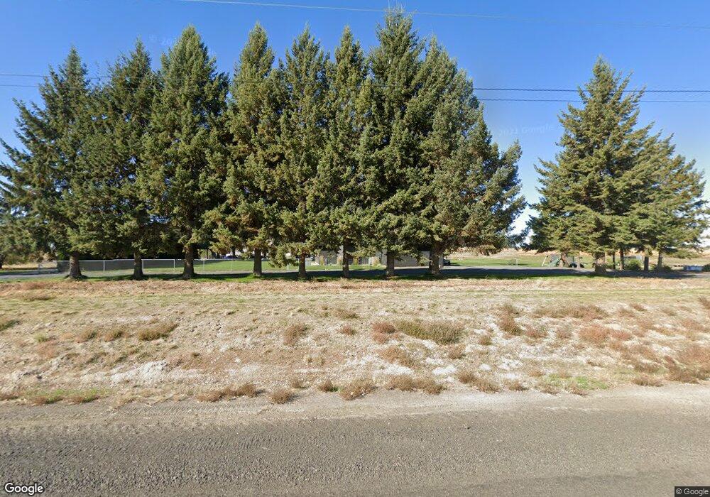
370 Road M SE Moses Lake, WA 98837
Estimated Value: $568,300 - $742,000
3
Beds
3
Baths
5,585
Sq Ft
$114/Sq Ft
Est. Value
About This Home
This home is located at 370 Road M SE, Moses Lake, WA 98837 and is currently estimated at $635,075, approximately $113 per square foot. 370 Road M SE is a home located in Grant County with nearby schools including Lakeview Terrace Elementary School, Columbia Middle School, and Moses Lake High School.
Ownership History
Date
Name
Owned For
Owner Type
Purchase Details
Closed on
Jun 20, 2019
Sold by
Schmidt Cindy M and Schmidt Wade H
Bought by
Schmidt Brandon W and Schmidt Irina
Current Estimated Value
Home Financials for this Owner
Home Financials are based on the most recent Mortgage that was taken out on this home.
Original Mortgage
$300,000
Outstanding Balance
$263,239
Interest Rate
4%
Mortgage Type
New Conventional
Estimated Equity
$371,836
Purchase Details
Closed on
Feb 7, 2018
Sold by
Port District No 3 Of Grant County
Bought by
Grant County Fire Protection District
Create a Home Valuation Report for This Property
The Home Valuation Report is an in-depth analysis detailing your home's value as well as a comparison with similar homes in the area
Home Values in the Area
Average Home Value in this Area
Purchase History
| Date | Buyer | Sale Price | Title Company |
|---|---|---|---|
| Schmidt Brandon W | $375,000 | Stewart Title Company | |
| Grant County Fire Protection District | -- | Grant County Title |
Source: Public Records
Mortgage History
| Date | Status | Borrower | Loan Amount |
|---|---|---|---|
| Open | Schmidt Brandon W | $300,000 |
Source: Public Records
Tax History Compared to Growth
Tax History
| Year | Tax Paid | Tax Assessment Tax Assessment Total Assessment is a certain percentage of the fair market value that is determined by local assessors to be the total taxable value of land and additions on the property. | Land | Improvement |
|---|---|---|---|---|
| 2024 | $4,523 | $412,864 | $57,850 | $355,014 |
| 2023 | $4,063 | $312,880 | $49,325 | $263,555 |
| 2022 | $3,659 | $312,880 | $49,325 | $263,555 |
| 2021 | $4,160 | $312,880 | $49,325 | $263,555 |
| 2020 | $3,198 | $348,775 | $49,325 | $299,450 |
| 2019 | -- | $224,885 | $41,330 | $183,555 |
Source: Public Records
Map
Nearby Homes
- 12214 Heritage Ln SE
- 74 Judy Rd
- 14501 Road 1 3 SE
- 15241 Baseline 5 Rd SE
- 0 E Yonezawa Blvd
- 6425 NE
- 0 Parcel #190557000 Unit FU 128 NWM2419723
- 1720 E Pirate Ln
- 0 NNA Yonezawa Blvd
- 1311 S Vandal Ct
- 2117 Dilley Ave
- 2299 Admiral Rd NE
- 2020 Perch Ave
- 2001 Perch Ave
- 2351 Admiral Rd NE
- 2000 Perch Ave
- 1221 S Lakeland Dr
- 1909 Dilley Ave
- 1346 E Oasis Cir
- 1412 E Hunter Place
- 300 Road M SE
- 13038 Baseline.5 Rd SE
- 429 State Highway 17 S
- 505 Road M SE
- 684 Road M SE
- 355 State Highway 17 S
- 0 Road M NE
- 0 NNA Road M NE
- 0 M Rd SE Unit 1070235
- 0 M Rd SE Unit 813539
- 0 M Rd SE Unit 1211114
- 0 M Rd SE Unit 1485197
- 227 State Highway 17 S
- 227 State Highway 17 S
- 46 Road M NE
- 224 Potato Frontage Rd SE
- 252 Potato Frontage Rd SE
- 241 Road M NE
- 196 Potato Frontage Rd SE
