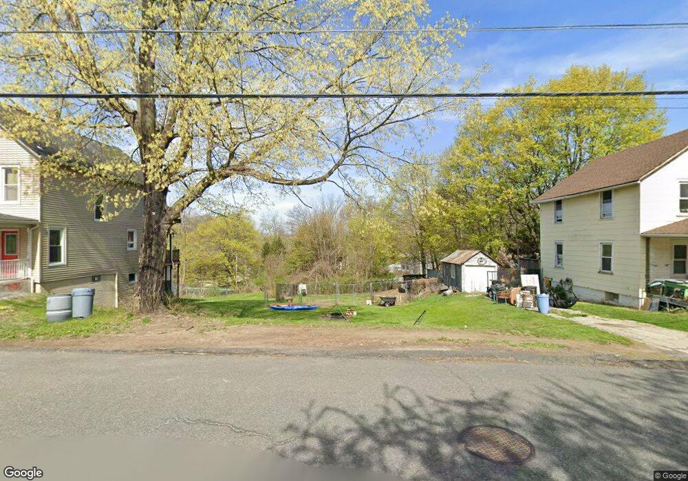
370 Scott Rd Franklin, NJ 07416
Estimated Value: $453,000
Studio
--
Bath
--
Sq Ft
2,526
Sq Ft Lot
About This Home
This home is located at 370 Scott Rd, Franklin, NJ 07416 and is currently estimated at $453,000. 370 Scott Rd is a home with nearby schools including Franklin Elementary School, Wallkill Valley Regional High School, and Immaculate Conception Regional School.
Ownership History
Date
Name
Owned For
Owner Type
Purchase Details
Closed on
Jan 29, 2010
Sold by
Monarque George N and Monarque Donna
Bought by
Longsworth Jarrett and Longsworth Cherrie M
Current Estimated Value
Home Financials for this Owner
Home Financials are based on the most recent Mortgage that was taken out on this home.
Original Mortgage
$235,653
Outstanding Balance
$159,585
Interest Rate
5.5%
Mortgage Type
FHA
Estimated Equity
$266,415
Purchase Details
Closed on
Jun 15, 2009
Sold by
Us Bank Na
Bought by
Monarque George N and Monarque Donna
Create a Home Valuation Report for This Property
The Home Valuation Report is an in-depth analysis detailing your home's value as well as a comparison with similar homes in the area
Home Values in the Area
Average Home Value in this Area
Purchase History
| Date | Buyer | Sale Price | Title Company |
|---|---|---|---|
| Longsworth Jarrett | $240,000 | Avalon Title Agency Llc | |
| Monarque George N | $95,000 | First American Title Ins Co |
Source: Public Records
Mortgage History
| Date | Status | Borrower | Loan Amount |
|---|---|---|---|
| Open | Longsworth Jarrett | $235,653 |
Source: Public Records
Tax History
| Year | Tax Paid | Tax Assessment Tax Assessment Total Assessment is a certain percentage of the fair market value that is determined by local assessors to be the total taxable value of land and additions on the property. | Land | Improvement |
|---|---|---|---|---|
| 2025 | $101 | $4,400 | $4,400 | -- |
| 2024 | $97 | $3,800 | $3,800 | $0 |
Source: Public Records
Map
Nearby Homes
- 580 State Rt 23
- 140 Wheatsworth Rd
- 19 John Wilton St Unit 21
- 6 Mulberry St
- 212 New Jersey 23
- 66 Nestor St
- 20 High Point CI
- 30 King Cole Rd
- 112 Scott Rd
- 35 Liberty Ln Unit Y2
- 62 High St
- 142 New Jersey 23
- 71 Wishing Well Rd
- 52 High St
- 63 Liberty Ln Unit 7
- 18 Governor Haines St
- 54 Summit Rd
- 142 Wheatsworth Rd
- 12 Spruce Hills Ct Unit B1
- 68 Constitution Way Unit 15
- 451 Rutherford Ave
- 453-455 Rutherford Ave
- 453 Rutherford Ave Unit 455
- 447 Rutherford Ave
- 457 Rutherford Ave
- 450 Rutherford Ave
- 368 Scott Rd
- 360 Scott Rd
- 439 Rutherford Ave Unit 445
- 461 Rutherford Ave
- 454 Rutherford Ave
- 452 Rutherford Ave
- 456 Rutherford Ave
- 448 Rutherford Ave
- 458 Rutherford Ave
- 446 Rutherford Ave
- 355 Scott Rd
- 462 Rutherford Ave
- 437 Rutherford Ave
- 444 Rutherford Ave
Your Personal Tour Guide
Ask me questions while you tour the home.