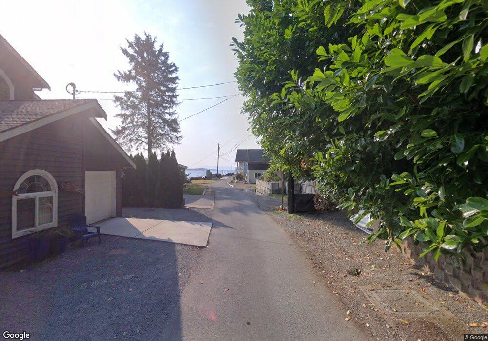
370 Shore Dr Camano Island, WA 98282
Estimated Value: $776,227 - $1,062,000
1
Bed
1
Bath
594
Sq Ft
$1,545/Sq Ft
Est. Value
About This Home
This home is located at 370 Shore Dr, Camano Island, WA 98282 and is currently estimated at $917,807, approximately $1,545 per square foot. 370 Shore Dr is a home located in Island County with nearby schools including Utsalady Elementary School, Port Susan Middle School, and Stanwood High School.
Ownership History
Date
Name
Owned For
Owner Type
Purchase Details
Closed on
Aug 21, 2018
Sold by
Hamilton Dennis D and Hamilton Mary Suzanne
Bought by
Packard Dale Arthur and Packard Pamela Lynne
Current Estimated Value
Purchase Details
Closed on
Jul 15, 2015
Sold by
Hamilton Dennis D and Hamilton Mary Suzanne
Bought by
Packard Dale Arthur and Packard Pamela Lynne
Home Financials for this Owner
Home Financials are based on the most recent Mortgage that was taken out on this home.
Original Mortgage
$400,000
Interest Rate
3.9%
Mortgage Type
Seller Take Back
Purchase Details
Closed on
Aug 17, 2012
Sold by
Hamilton Dennis
Bought by
Hamilton Dennis and Hamilton Mary Suzanne
Create a Home Valuation Report for This Property
The Home Valuation Report is an in-depth analysis detailing your home's value as well as a comparison with similar homes in the area
Home Values in the Area
Average Home Value in this Area
Purchase History
| Date | Buyer | Sale Price | Title Company |
|---|---|---|---|
| Packard Dale Arthur | -- | None Available | |
| Packard Dale Arthur | $500,000 | None Available | |
| Hamilton Dennis | -- | None Available |
Source: Public Records
Mortgage History
| Date | Status | Borrower | Loan Amount |
|---|---|---|---|
| Previous Owner | Packard Dale Arthur | $400,000 |
Source: Public Records
Tax History Compared to Growth
Tax History
| Year | Tax Paid | Tax Assessment Tax Assessment Total Assessment is a certain percentage of the fair market value that is determined by local assessors to be the total taxable value of land and additions on the property. | Land | Improvement |
|---|---|---|---|---|
| 2024 | $5,743 | $825,689 | $775,600 | $50,089 |
| 2023 | $5,743 | $752,072 | $700,600 | $51,472 |
| 2022 | $5,248 | $698,458 | $650,600 | $47,858 |
| 2021 | $5,174 | $568,304 | $525,600 | $42,704 |
| 2020 | $5,126 | $542,685 | $500,600 | $42,085 |
| 2019 | $4,636 | $530,977 | $500,600 | $30,377 |
| 2018 | $5,004 | $481,160 | $450,600 | $30,560 |
| 2017 | $4,375 | $481,529 | $450,600 | $30,929 |
| 2016 | $3,612 | $468,054 | $450,600 | $17,454 |
| 2015 | $3,208 | $370,856 | $350,600 | $20,256 |
| 2013 | -- | $247,962 | $226,543 | $21,419 |
Source: Public Records
Map
Nearby Homes
- 366 Samanthia Ln
- 250 Fay Ln
- 1048 Cassius Ct
- 1048 Malvern Hills Dr
- 162 Loon Asea Ln
- 641 Maple Grove Rd
- 298 Echo Ridge Way
- 941 Cambell Dr
- 931 Karen Ann Dr
- 1 S Camano Dr
- 746 Maple Grove Rd
- 980 Marshall Dr
- 0 Cambell Dr Unit NWM2331086
- 897 James Way
- 870 Cambell Dr
- 688 Gladstone Dr
- 938 NW Camano Dr
- 25 Anadar Place
- 97 Utsalady Rd
- 1021 N Sunset Dr
- 378 Shore Dr
- 364 Shore Dr
- 386 Shore Dr
- 382 Shore Dr
- 358 Shore Dr
- 354 Shore Dr
- 350 Shore Dr
- 374 Blue Heron Ln
- 382 Blue Heron Ln
- 346 Shore Dr
- 340 Shore Dr
- 386 W Utsalady Point Rd
- 0 Blue Heron Ln Unit 922433
- 336 Shore Dr
- 332 Shore Dr
- 343 Shore Dr
- 386 Baker Way
- 358 Blue Heron Ln
- 382 Baker Way
- 330 Shore Dr