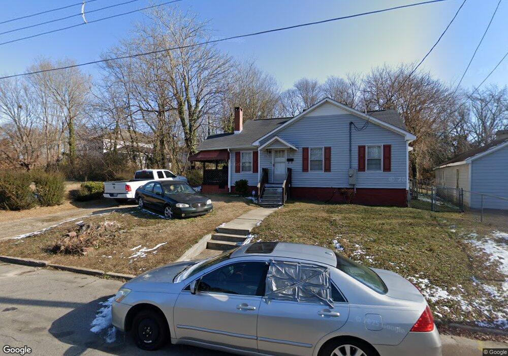
370 W Rock Spring St Henderson, NC 27536
Estimated Value: $108,000 - $140,032
2
Beds
1
Bath
1,150
Sq Ft
$106/Sq Ft
Est. Value
About This Home
This home is located at 370 W Rock Spring St, Henderson, NC 27536 and is currently estimated at $122,258, approximately $106 per square foot. 370 W Rock Spring St is a home located in Vance County with nearby schools including E.M. Rollins Elementary School, Vance County Middle School, and Vance County High School.
Ownership History
Date
Name
Owned For
Owner Type
Purchase Details
Closed on
Jul 20, 2007
Sold by
Somerville Heddie A and Somerville Gary
Bought by
Alston Richard
Current Estimated Value
Home Financials for this Owner
Home Financials are based on the most recent Mortgage that was taken out on this home.
Original Mortgage
$85,000
Outstanding Balance
$53,183
Interest Rate
6.52%
Mortgage Type
New Conventional
Estimated Equity
$69,075
Purchase Details
Closed on
Apr 27, 2005
Sold by
Somerville Heddie and Alston Heddie
Bought by
Somerville Heddie and Alston Heddie
Home Financials for this Owner
Home Financials are based on the most recent Mortgage that was taken out on this home.
Original Mortgage
$57,200
Interest Rate
8.77%
Mortgage Type
Adjustable Rate Mortgage/ARM
Create a Home Valuation Report for This Property
The Home Valuation Report is an in-depth analysis detailing your home's value as well as a comparison with similar homes in the area
Home Values in the Area
Average Home Value in this Area
Purchase History
| Date | Buyer | Sale Price | Title Company |
|---|---|---|---|
| Alston Richard | $85,000 | -- | |
| Somerville Heddie | -- | -- |
Source: Public Records
Mortgage History
| Date | Status | Borrower | Loan Amount |
|---|---|---|---|
| Open | Alston Richard | $85,000 | |
| Previous Owner | Somerville Heddie | $57,200 |
Source: Public Records
Tax History Compared to Growth
Tax History
| Year | Tax Paid | Tax Assessment Tax Assessment Total Assessment is a certain percentage of the fair market value that is determined by local assessors to be the total taxable value of land and additions on the property. | Land | Improvement |
|---|---|---|---|---|
| 2025 | $1,712 | $114,910 | $22,800 | $92,110 |
| 2024 | $1,691 | $114,910 | $22,800 | $92,110 |
| 2023 | $1,325 | $73,489 | $4,149 | $69,340 |
| 2022 | $1,297 | $73,489 | $4,149 | $69,340 |
| 2021 | $1,177 | $73,489 | $4,149 | $69,340 |
| 2020 | $1,294 | $73,489 | $4,149 | $69,340 |
| 2019 | $1,289 | $73,489 | $4,149 | $69,340 |
| 2018 | $1,177 | $73,489 | $4,149 | $69,340 |
| 2017 | $1,282 | $73,489 | $4,149 | $69,340 |
| 2016 | $1,282 | $73,489 | $4,149 | $69,340 |
| 2015 | $1,161 | $86,690 | $5,130 | $81,560 |
| 2014 | $1,329 | $86,693 | $5,130 | $81,563 |
Source: Public Records
Map
Nearby Homes
- 436 John St
- 810 Vaughan St
- 332 Hamilton St
- 315 Hamilton St
- 228 Crozier St Unit 230
- 239 Gary St
- 638 Poplar Pine St
- 732 E Rockspring St
- 246 Keene St
- 632 Breckenridge St
- 503 Adams St
- 0 U S 158 Unit 1131934
- 1230 Hight St
- 428 Merriman St
- 936 Eaton St
- 1300 Railroad St
- 911 Water St
- 605 E Montgomery St
- 212 Craig Ave
- 500 Zene St