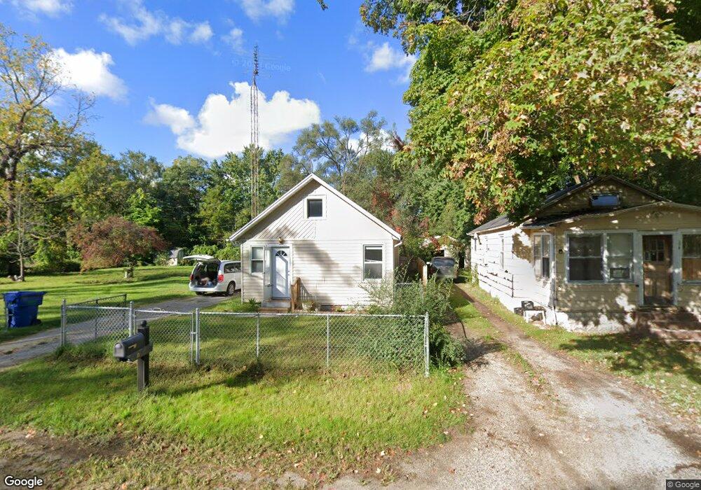
370 Walnut St Benton Harbor, MI 49022
Benton Heights NeighborhoodEstimated Value: $82,000 - $124,000
3
Beds
--
Bath
750
Sq Ft
$137/Sq Ft
Est. Value
About This Home
This home is located at 370 Walnut St, Benton Harbor, MI 49022 and is currently estimated at $102,378, approximately $136 per square foot. 370 Walnut St is a home located in Berrien County with nearby schools including Fair Plain Middle School, Benton Harbor High School, and Mildred C. Wells Preparatory Academy.
Ownership History
Date
Name
Owned For
Owner Type
Purchase Details
Closed on
Apr 18, 2022
Sold by
Dorothy Golliday
Bought by
Jackson Emanuel and Jackson Tamekia
Current Estimated Value
Home Financials for this Owner
Home Financials are based on the most recent Mortgage that was taken out on this home.
Original Mortgage
$26,400
Outstanding Balance
$9,013
Interest Rate
3.85%
Mortgage Type
Balloon
Estimated Equity
$93,365
Purchase Details
Closed on
Dec 13, 2021
Sold by
Ray Essie M and Golliday Dorothy
Bought by
Golliday Dorothy
Create a Home Valuation Report for This Property
The Home Valuation Report is an in-depth analysis detailing your home's value as well as a comparison with similar homes in the area
Home Values in the Area
Average Home Value in this Area
Purchase History
| Date | Buyer | Sale Price | Title Company |
|---|---|---|---|
| Jackson Emanuel | $33,000 | First American Title | |
| Golliday Dorothy | -- | None Available |
Source: Public Records
Mortgage History
| Date | Status | Borrower | Loan Amount |
|---|---|---|---|
| Open | Jackson Emanuel | $26,400 |
Source: Public Records
Tax History
| Year | Tax Paid | Tax Assessment Tax Assessment Total Assessment is a certain percentage of the fair market value that is determined by local assessors to be the total taxable value of land and additions on the property. | Land | Improvement |
|---|---|---|---|---|
| 2025 | $1,825 | $38,600 | $0 | $0 |
| 2024 | $1,183 | $33,300 | $0 | $0 |
| 2023 | $1,126 | $31,500 | $0 | $0 |
| 2022 | $322 | $31,500 | $0 | $0 |
| 2021 | $356 | $25,400 | $900 | $24,500 |
| 2020 | $352 | $25,100 | $0 | $0 |
| 2019 | $365 | $21,000 | $600 | $20,400 |
| 2018 | $356 | $21,000 | $0 | $0 |
| 2017 | $353 | $19,400 | $0 | $0 |
| 2016 | $347 | $19,000 | $0 | $0 |
| 2015 | $345 | $19,200 | $0 | $0 |
| 2014 | $134 | $18,500 | $0 | $0 |
Source: Public Records
Map
Nearby Homes
- 394 Linden St
- 137 Cornelia St
- 992 Highland Ave
- 831 La Salle St
- 770 Territorial Rd
- 470 N Mccord St
- 810 Thresher Ave
- 185 Felton St
- 696 Highland Ave
- 1626 Territorial Rd
- 710 Buss Ave
- 575 Cass St
- 612 N Crystal Ave
- 490 Territorial Rd
- 363 Brunson Ave
- 1636 E Britain Ave
- 309 High St
- 561 Heck Ct
- 378 Pipestone St
- 179 Collins Ave
Your Personal Tour Guide
Ask me questions while you tour the home.