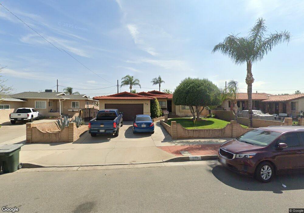
370 Walters St Colton, CA 92324
Estimated Value: $447,000 - $496,000
About This Home
This home is located at 370 Walters St, Colton, CA 92324 and is currently estimated at $474,300, approximately $282 per square foot. 370 Walters St is a home located in San Bernardino County with nearby schools including William Mckinley Elementary School, Colton Middle School, and Colton High School.
Ownership History
We collect this data history from publicly available records. To have your information removed, we recommend requesting removal directly through your county’s website.
Purchase Details
Purchase Details
Purchase Details
Purchase Details
Home Values in the Area
Average Home Value in this Area
Purchase History
We collect this data history from publicly available records. To have your information removed, we recommend requesting removal directly through your county’s website.
| Date | Buyer | Sale Price | Title Company |
|---|---|---|---|
| -- | None Available | ||
| -- | -- | ||
| -- | -- | ||
| -- | -- | ||
| -- | -- |
Tax History
We collect this data history from publicly available records. To have your information removed, we recommend requesting removal directly through your county’s website.
| Year | Tax Paid | Tax Assessment Tax Assessment Total Assessment is a certain percentage of the fair market value that is determined by local assessors to be the total taxable value of land and additions on the property. | Land | Improvement |
|---|---|---|---|---|
| 2025 | $646 | $49,673 | $8,841 | $40,832 |
| 2024 | $617 | $48,699 | $8,668 | $40,031 |
| 2023 | $619 | $47,744 | $8,498 | $39,246 |
| 2022 | $610 | $46,807 | $8,331 | $38,476 |
| 2021 | $622 | $45,890 | $8,168 | $37,722 |
| 2020 | $625 | $45,419 | $8,084 | $37,335 |
| 2019 | $609 | $44,528 | $7,925 | $36,603 |
| 2018 | $599 | $43,655 | $7,770 | $35,885 |
| 2017 | $579 | $42,799 | $7,618 | $35,181 |
| 2016 | $499 | $41,960 | $7,469 | $34,491 |
| 2015 | $483 | $41,330 | $7,357 | $33,973 |
| 2014 | $465 | $40,521 | $7,213 | $33,308 |
Map
- 261 S Muscott St
- 1958 N Ohio Ave
- 222 S Rancho Ave Unit 74
- 1966 W Rialto Ave
- 2075 W Rialto Ave
- 2149 Chestnut St
- 1754 Kippy Dr
- 2250 W Mill St
- 2250 W Mill St Unit 19
- 2250 W Mill St Unit 104
- 1765 Alston Ave
- 2260 W Rialto Ave Unit 7
- 1953 N 8th St
- 1708 Bordwell Ave
- 494 S Macy St Unit 151
- 377 S Mount Vernon Ave
- 754 W Citrus St
- 1527 W 4th St
- 2218 Broadway Ave
- 410 E Citrus St
Ask me questions while you tour the home.