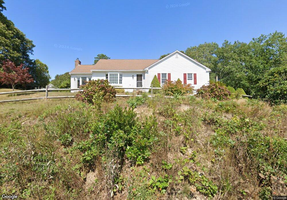
370 Weir Rd Yarmouth Port, MA 02675
Yarmouth Port NeighborhoodEstimated Value: $796,000 - $990,000
3
Beds
2
Baths
1,600
Sq Ft
$556/Sq Ft
Est. Value
About This Home
This home is located at 370 Weir Rd, Yarmouth Port, MA 02675 and is currently estimated at $889,890, approximately $556 per square foot. 370 Weir Rd is a home located in Barnstable County with nearby schools including Dennis-Yarmouth Regional High School and St. Pius X. School.
Ownership History
Date
Name
Owned For
Owner Type
Purchase Details
Closed on
Sep 26, 2018
Sold by
Wright Harvey
Bought by
Wright Harvey and Wright Doreen M
Current Estimated Value
Purchase Details
Closed on
Mar 10, 2005
Sold by
Steeves H Alan
Bought by
Wright Harvey
Create a Home Valuation Report for This Property
The Home Valuation Report is an in-depth analysis detailing your home's value as well as a comparison with similar homes in the area
Home Values in the Area
Average Home Value in this Area
Purchase History
| Date | Buyer | Sale Price | Title Company |
|---|---|---|---|
| Wright Harvey | -- | -- | |
| Wright Harvey | $564,500 | -- |
Source: Public Records
Tax History Compared to Growth
Tax History
| Year | Tax Paid | Tax Assessment Tax Assessment Total Assessment is a certain percentage of the fair market value that is determined by local assessors to be the total taxable value of land and additions on the property. | Land | Improvement |
|---|---|---|---|---|
| 2025 | $5,776 | $815,800 | $262,700 | $553,100 |
| 2024 | $5,435 | $736,500 | $228,500 | $508,000 |
| 2023 | $5,260 | $648,600 | $201,500 | $447,100 |
| 2022 | $5,028 | $547,700 | $192,200 | $355,500 |
| 2021 | $4,715 | $493,200 | $192,200 | $301,000 |
| 2020 | $4,713 | $471,300 | $203,000 | $268,300 |
| 2019 | $0 | $432,000 | $203,000 | $229,000 |
| 2018 | $4,101 | $398,500 | $169,500 | $229,000 |
| 2017 | $0 | $398,500 | $169,500 | $229,000 |
| 2016 | $3,843 | $385,100 | $156,100 | $229,000 |
| 2015 | $3,631 | $361,700 | $149,400 | $212,300 |
Source: Public Records
Map
Nearby Homes
- 18 Crab Creek Ln
- 14 Many Oaks Cir
- 8 Rowley Ln
- 800 Route 6a
- 800 Route 6a
- 4 Old Colony Way
- 16 Warren Rd Unit 16
- 16 Warren Rd
- 20 Trophy Ln
- 21 Boxwood Cir
- 68 Seminole Dr
- 6 Nimble Hill Dr
- 118 Driftwood Ln
- 129 Driftwood Ln
- 15 Follins Pond Rd
- 13 Covey Dr
- 1 Winsome Rd
- 38 N Dennis Rd
- 4208 Heatherwood
- 25 Oak Glen