370 Westerly Cir Ludlow, MA 01056
Estimated Value: $531,799 - $726,000
4
Beds
3
Baths
2,212
Sq Ft
$276/Sq Ft
Est. Value
About This Home
This home is located at 370 Westerly Cir, Ludlow, MA 01056 and is currently estimated at $610,950, approximately $276 per square foot. 370 Westerly Cir is a home located in Hampden County with nearby schools including East Street Elementary School, Chapin Street Elementary School, and Paul R. Baird Middle School.
Ownership History
Date
Name
Owned For
Owner Type
Purchase Details
Closed on
Apr 30, 1997
Sold by
Farias Michael
Bought by
Hayward Ernest J and Hayward Peggy C
Current Estimated Value
Home Financials for this Owner
Home Financials are based on the most recent Mortgage that was taken out on this home.
Original Mortgage
$133,600
Outstanding Balance
$18,061
Interest Rate
7.85%
Mortgage Type
Purchase Money Mortgage
Estimated Equity
$592,889
Purchase Details
Closed on
Mar 1, 1995
Sold by
Waverly Hts Dev Corp
Bought by
Farias Michael
Create a Home Valuation Report for This Property
The Home Valuation Report is an in-depth analysis detailing your home's value as well as a comparison with similar homes in the area
Home Values in the Area
Average Home Value in this Area
Purchase History
| Date | Buyer | Sale Price | Title Company |
|---|---|---|---|
| Hayward Ernest J | $45,000 | -- | |
| Farias Michael | $41,000 | -- |
Source: Public Records
Mortgage History
| Date | Status | Borrower | Loan Amount |
|---|---|---|---|
| Open | Farias Michael | $133,600 |
Source: Public Records
Tax History Compared to Growth
Tax History
| Year | Tax Paid | Tax Assessment Tax Assessment Total Assessment is a certain percentage of the fair market value that is determined by local assessors to be the total taxable value of land and additions on the property. | Land | Improvement |
|---|---|---|---|---|
| 2025 | $7,396 | $426,300 | $83,800 | $342,500 |
| 2024 | $7,118 | $393,500 | $83,800 | $309,700 |
| 2023 | $6,752 | $346,100 | $69,700 | $276,400 |
| 2022 | $6,407 | $320,500 | $69,700 | $250,800 |
| 2021 | $6,413 | $304,200 | $69,700 | $234,500 |
| 2020 | $6,134 | $297,500 | $68,600 | $228,900 |
| 2019 | $5,831 | $294,200 | $68,000 | $226,200 |
| 2018 | $5,722 | $301,000 | $75,500 | $225,500 |
| 2017 | $5,689 | $307,000 | $73,300 | $233,700 |
| 2016 | $5,736 | $316,400 | $79,800 | $236,600 |
| 2015 | $5,426 | $313,800 | $79,000 | $234,800 |
Source: Public Records
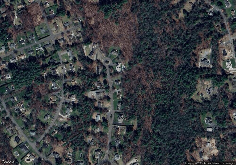
Map
Nearby Homes
- 357 Westerly Cir
- 321 Westerly Cir
- 140 Waverly Rd
- 20 Bondsville Rd
- 517 S Washington St
- 956 Poole St
- 255 West St
- 235 James St
- 143 James St
- 0 N Liberty St
- 1172 East St
- Lot 28 Tower Rd
- 22 Balsam Hill Rd
- 319 Ventura St
- 308 Miller St Unit 72
- 308 Miller St Unit 79
- 308 Miller St Unit 78
- 425 Miller St
- Lot T Woodland Ln
- 308 N Liberty St
- 352 Westerly Cir
- 384 Westerly Cir
- 371 Westerly Cir
- 340 Westerly Cir
- 385 Westerly Cir
- 398 Westerly Cir
- 337 Westerly Cir
- 324 Westerly Cir
- 391 Westerly Cir
- 119 Waverly Rd
- 103 Waverly Rd
- 135 Waverly Rd
- 312 Westerly Cir
- 309 Westerly Cir
- 87 Waverly Rd
- 149 Waverly Rd
- 116 Warwick Dr
- 284 Westerly Cir
- 104 Warwick Dr
- 661 Alden St