370 Whippoorwill Trail Cedarcreek, MO 65627
Estimated Value: $214,000 - $492,000
--
Bed
1
Bath
2,568
Sq Ft
$137/Sq Ft
Est. Value
About This Home
This home is located at 370 Whippoorwill Trail, Cedarcreek, MO 65627 and is currently estimated at $352,668, approximately $137 per square foot. 370 Whippoorwill Trail is a home located in Taney County with nearby schools including Forsyth Elementary School, Forsyth Middle School, and Forsyth High School.
Ownership History
Date
Name
Owned For
Owner Type
Purchase Details
Closed on
Oct 27, 2023
Sold by
Schwartz Timothy James and Coleman Valerie W
Bought by
Revocable Living Trust and Schwartz
Current Estimated Value
Purchase Details
Closed on
Sep 7, 2022
Sold by
James Schwartz Timothy
Bought by
Schwartz Timothy James and Coleman Valerie W
Purchase Details
Closed on
Jul 2, 2018
Sold by
Gurke Michael P and Gurke Karen D
Bought by
Schwartz Timothy J
Home Financials for this Owner
Home Financials are based on the most recent Mortgage that was taken out on this home.
Original Mortgage
$90,000
Interest Rate
4.5%
Mortgage Type
New Conventional
Create a Home Valuation Report for This Property
The Home Valuation Report is an in-depth analysis detailing your home's value as well as a comparison with similar homes in the area
Home Values in the Area
Average Home Value in this Area
Purchase History
| Date | Buyer | Sale Price | Title Company |
|---|---|---|---|
| Revocable Living Trust | -- | None Listed On Document | |
| Schwartz Timothy James | -- | -- | |
| Schwartz Timothy J | -- | Continental Title |
Source: Public Records
Mortgage History
| Date | Status | Borrower | Loan Amount |
|---|---|---|---|
| Previous Owner | Schwartz Timothy J | $90,000 |
Source: Public Records
Tax History Compared to Growth
Tax History
| Year | Tax Paid | Tax Assessment Tax Assessment Total Assessment is a certain percentage of the fair market value that is determined by local assessors to be the total taxable value of land and additions on the property. | Land | Improvement |
|---|---|---|---|---|
| 2025 | $1,736 | $35,610 | -- | -- |
| 2023 | $1,736 | $37,790 | $0 | $0 |
| 2022 | $1,718 | $37,790 | $0 | $0 |
| 2021 | $1,713 | $37,790 | $0 | $0 |
| 2019 | $1,571 | $33,450 | $0 | $0 |
| 2018 | $1,564 | $33,460 | $0 | $0 |
| 2017 | $1,564 | $33,460 | $0 | $0 |
| 2016 | $1,478 | $31,610 | $0 | $0 |
| 2015 | $1,352 | $28,900 | $0 | $0 |
| 2014 | $1,313 | $27,610 | $0 | $0 |
Source: Public Records
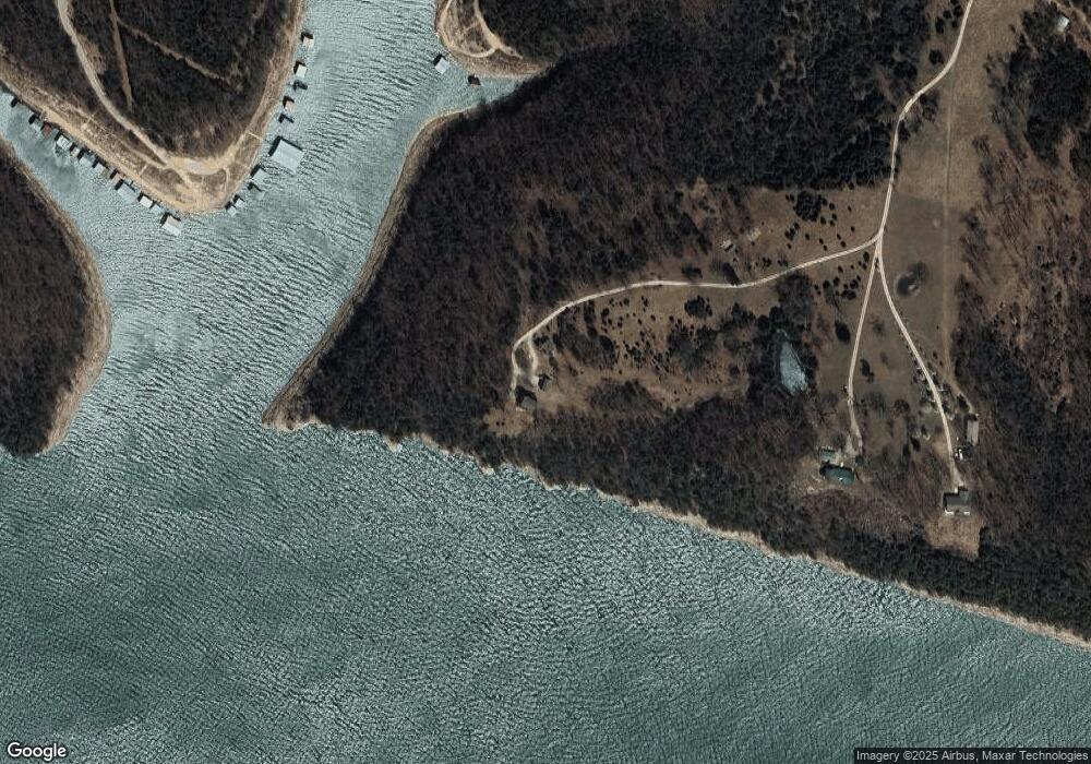
Map
Nearby Homes
- 447 Mckee Dr
- 1118 Ab Fine Rd
- 000 Barton Rd
- 888 M-90a
- 2904 Mo Ark Rd
- 2904 Mo Ark Rd Unit Lot 7
- Lot 7 Timber Shoals
- 3088 Mo Ark Rd
- 000 Timber Shoals Rd Unit 13 & 14
- 000 Cedar Creek
- 20151 Horseshoe Bend Rd
- 000 Horseshoe Bend Rd N
- * Horseshoe Bend Rd
- 2605 Walking Stick Ln
- 22344 N Highway 281
- 20 Acres Persimmon Point E
- Lot 12 Persimmon Point E
- 4522 E Persimmon Point
- 000 Brass Lantern Rd
- 1007 Brass Lantern Rd
- Tbd Whippoorwill
- 480 Whippoorwill Trail
- 381 Whippoorwill Trail
- 0 S Ab Fine Unit 11313171
- 0 S Ab Fine Unit 11304673
- 0 S Ab Fine Unit 11308461
- 0 S Ab Fine Unit 11311027
- 0 S A B Fine Rd Unit 60053461
- 0 S A B Fine Rd Unit 11404188
- 583 Mckee Dr
- 582 Mckee Dr
- 236 Sartin Dr
- 1348 Ab Fine Rd
- 1333 Ab Fine Rd
- 225 Sartin Dr
- 200 Sartin Dr
- 189 Sartin Dr
- 294 Ward Dr
- 182 Ward Dr
- 164 Ward Dr