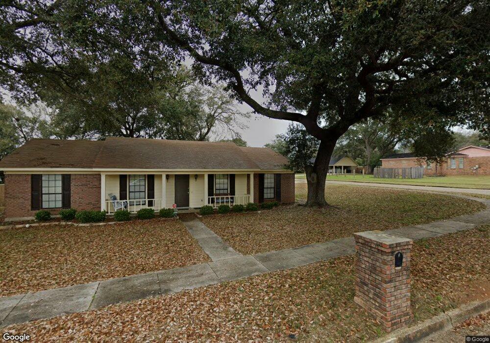
3700 Norton Dr Unit 2 Mobile, AL 36693
Canterbury NeighborhoodEstimated Value: $196,000 - $217,000
3
Beds
2
Baths
1,838
Sq Ft
$111/Sq Ft
Est. Value
About This Home
This home is located at 3700 Norton Dr Unit 2, Mobile, AL 36693 and is currently estimated at $203,594, approximately $110 per square foot. 3700 Norton Dr Unit 2 is a home located in Mobile County with nearby schools including Kate Shepard Elementary School, Burns Middle School, and Murphy High School.
Ownership History
Date
Name
Owned For
Owner Type
Purchase Details
Closed on
Dec 5, 2020
Sold by
Burruss Willie Ann Diamond
Bought by
Burruss Willie Ann Diamond and Ransom Andrea Diamond
Current Estimated Value
Purchase Details
Closed on
Jul 6, 2020
Sold by
Ranson John and Ransom Andrea C
Bought by
Burruss Willie Ann Diamond
Home Financials for this Owner
Home Financials are based on the most recent Mortgage that was taken out on this home.
Original Mortgage
$145,000
Outstanding Balance
$127,962
Interest Rate
3.2%
Mortgage Type
New Conventional
Estimated Equity
$75,632
Purchase Details
Closed on
May 30, 2003
Sold by
Hayes Charles E and Hayes Barbara C
Bought by
Ransom John and Ransom Andrea C
Home Financials for this Owner
Home Financials are based on the most recent Mortgage that was taken out on this home.
Original Mortgage
$103,200
Interest Rate
10%
Mortgage Type
Seller Take Back
Create a Home Valuation Report for This Property
The Home Valuation Report is an in-depth analysis detailing your home's value as well as a comparison with similar homes in the area
Home Values in the Area
Average Home Value in this Area
Purchase History
| Date | Buyer | Sale Price | Title Company |
|---|---|---|---|
| Burruss Willie Ann Diamond | -- | None Available | |
| Burruss Willie Ann Diamond | $145,000 | Atc | |
| Ransom John | $106,700 | -- |
Source: Public Records
Mortgage History
| Date | Status | Borrower | Loan Amount |
|---|---|---|---|
| Open | Burruss Willie Ann Diamond | $145,000 | |
| Previous Owner | Ransom John | $103,200 |
Source: Public Records
Tax History
| Year | Tax Paid | Tax Assessment Tax Assessment Total Assessment is a certain percentage of the fair market value that is determined by local assessors to be the total taxable value of land and additions on the property. | Land | Improvement |
|---|---|---|---|---|
| 2025 | -- | $17,600 | $3,000 | $14,600 |
| 2024 | -- | $17,430 | $3,000 | $14,430 |
| 2023 | $0 | $13,940 | $2,550 | $11,390 |
| 2022 | $0 | $14,220 | $2,550 | $11,670 |
| 2021 | $0 | $14,020 | $2,550 | $11,470 |
| 2020 | $669 | $11,030 | $2,550 | $8,480 |
| 2019 | $623 | $10,320 | $2,550 | $7,770 |
| 2018 | $623 | $10,340 | $0 | $0 |
| 2017 | $637 | $10,560 | $0 | $0 |
| 2016 | $706 | $11,640 | $0 | $0 |
| 2013 | $718 | $12,120 | $0 | $0 |
Source: Public Records
Map
Nearby Homes
- 3701 Arrington Dr
- 5321 Longridge Dr N
- 3613 Vista Ridge Dr
- 0 Girby Rd
- 5213 Drexel Dr
- 5544 Candia Ct
- 5024 Government Blvd
- 3447 Rue Royal
- 3109 Grishilde Dr
- 3549 Rue Royal
- 5166 Maudelayne Dr S
- 3528 Rue Royal
- 5505 White Pine Dr
- 5771 Rue Conti
- 3075 Longleaf Dr
- 5508 White Pine Dr
- 5114 Geoffrey Dr
- 5623 James Monroe Ct
- 5600 James Madison Dr S
- 5533 Cross Creek Dr
- 3700 Norton Dr
- 5354 Longridge Dr N
- 3709 Arrington Dr
- 3701 Norton Dr
- 3708 Norton Dr
- 3662 Surrey Ct
- 0 Norton Dr Unit 3117
- 5351 Longridge Dr N
- 3713 Arrington Dr
- 3705 Norton Dr
- 5339 Longridge Dr N
- 5336 Longridge Dr N
- 3712 Norton Dr
- 3709 Norton Dr
- 3717 Arrington Dr
- 3663 Surrey Ct
- 3710 Arrington Dr
- 3617 Arrington Dr
- 3654 Surrey Ct
- 3708 Arrington Dr
Your Personal Tour Guide
Ask me questions while you tour the home.