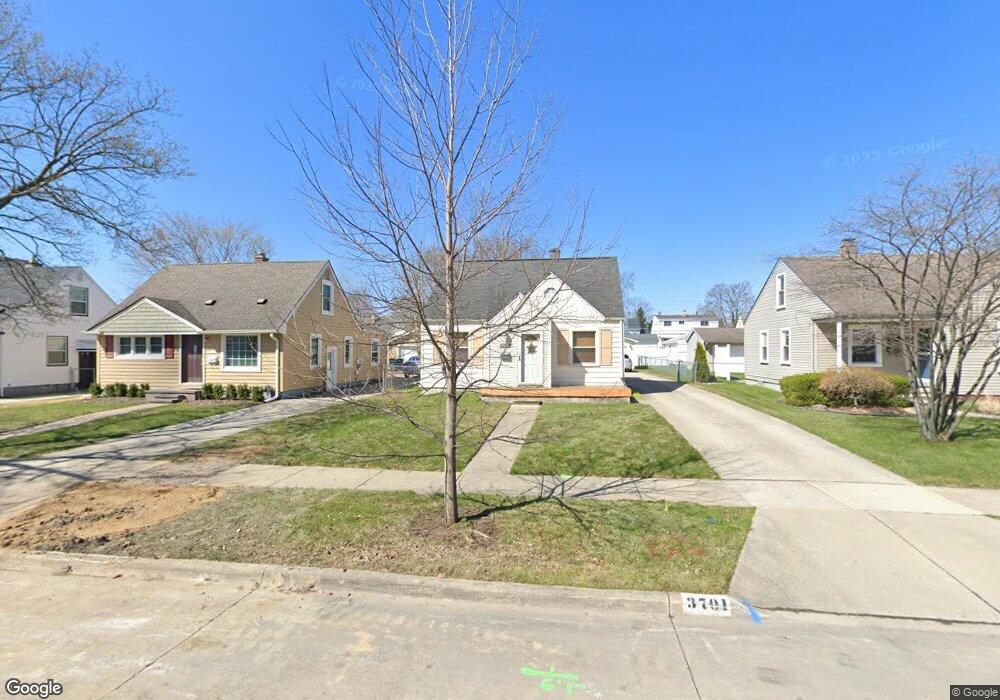
3701 Durham Rd Royal Oak, MI 48073
Estimated Value: $266,571 - $302,000
3
Beds
1
Bath
888
Sq Ft
$314/Sq Ft
Est. Value
About This Home
This home is located at 3701 Durham Rd, Royal Oak, MI 48073 and is currently estimated at $279,143, approximately $314 per square foot. 3701 Durham Rd is a home located in Oakland County with nearby schools including Addams Elementary, Royal Oak Middle School, and Royal Oak High School.
Ownership History
Date
Name
Owned For
Owner Type
Purchase Details
Closed on
Mar 16, 2022
Sold by
Michael Mcnelis
Bought by
Glenn David
Current Estimated Value
Purchase Details
Closed on
Jul 1, 2014
Sold by
Mcnelis Michael Patrick
Bought by
Glenn David J
Home Financials for this Owner
Home Financials are based on the most recent Mortgage that was taken out on this home.
Original Mortgage
$67,000
Interest Rate
3%
Mortgage Type
Seller Take Back
Purchase Details
Closed on
Apr 23, 2014
Sold by
Pierce Loraine L and Pierce Philip V
Bought by
Mcnelis Michael
Purchase Details
Closed on
Apr 28, 1994
Sold by
Pierce Vern M
Bought by
Pierce Vern M
Create a Home Valuation Report for This Property
The Home Valuation Report is an in-depth analysis detailing your home's value as well as a comparison with similar homes in the area
Home Values in the Area
Average Home Value in this Area
Purchase History
| Date | Buyer | Sale Price | Title Company |
|---|---|---|---|
| Glenn David | $68,929 | Devon Title Agency | |
| Glenn David J | $68,929 | None Available | |
| Mcnelis Michael | $55,000 | Commercial Title Service | |
| Pierce Vern M | -- | -- |
Source: Public Records
Mortgage History
| Date | Status | Borrower | Loan Amount |
|---|---|---|---|
| Previous Owner | Glenn David J | $67,000 |
Source: Public Records
Tax History
| Year | Tax Paid | Tax Assessment Tax Assessment Total Assessment is a certain percentage of the fair market value that is determined by local assessors to be the total taxable value of land and additions on the property. | Land | Improvement |
|---|---|---|---|---|
| 2025 | $3,298 | $115,160 | $0 | $0 |
| 2024 | $2,445 | $103,870 | $0 | $0 |
| 2022 | $2,889 | $96,910 | $0 | $0 |
| 2020 | $2,428 | $84,510 | $0 | $0 |
| 2018 | $2,889 | $74,930 | $0 | $0 |
| 2017 | $2,777 | $74,930 | $0 | $0 |
| 2015 | -- | $66,840 | $0 | $0 |
| 2014 | -- | $65,270 | $0 | $0 |
| 2011 | -- | $53,560 | $0 | $0 |
Source: Public Records
Map
Nearby Homes
- 3535 Woodland Ave
- 3522 Elmhurst Ave
- 3804 Elmhurst Ave
- 3919 Woodland Ave
- 3403 Crooks Rd Unit 10
- 3915 Devon Rd
- 4101 Devon Rd
- 2129 Normandy Rd
- 3126 Linwood Ave Unit 8A
- 2419 Normandy Rd
- 1723 Cresthill Ave
- 4201 Kent Rd
- 4227 Crooks Rd
- 1418 W 13 Mile Rd
- 3019 Clawson Ave
- 2500 Normandy Rd Unit 13
- 2500 Normandy Rd Unit 69
- 2500 Normandy Rd Unit 60
- 2471 Massoit Rd
- 1512 Normandy Rd Unit 105
- 3613 Durham Rd
- 3707 Durham Rd
- 3609 Durham Rd
- 3713 Durham Rd Unit Bldg-Unit
- 3713 Durham Rd
- 3622 Woodland Ave
- 3605 Durham Rd
- 3708 Woodland Ave
- 3618 Woodland Ave
- 3715 Durham Rd
- 3704 Woodland Ave
- 3614 Woodland Ave
- 3610 Woodland Ave
- 3710 Woodland Ave
- 3700 Durham Rd
- 3704 Durham Rd
- 3721 Durham Rd
- 3614 Durham Rd
- 3604 Woodland Ave
- 3710 Durham Rd
Your Personal Tour Guide
Ask me questions while you tour the home.