3701 Stanford Ct Midlothian, VA 23113
Robious NeighborhoodEstimated Value: $960,126 - $1,006,000
4
Beds
5
Baths
4,444
Sq Ft
$221/Sq Ft
Est. Value
About This Home
This home is located at 3701 Stanford Ct, Midlothian, VA 23113 and is currently estimated at $984,042, approximately $221 per square foot. 3701 Stanford Ct is a home located in Chesterfield County with nearby schools including Robious Elementary School, Robious Middle School, and James River High School.
Ownership History
Date
Name
Owned For
Owner Type
Purchase Details
Closed on
May 21, 2001
Bought by
Jorstad Roy O and Jorstad Carol J
Current Estimated Value
Home Financials for this Owner
Home Financials are based on the most recent Mortgage that was taken out on this home.
Original Mortgage
$60,000
Outstanding Balance
$22,404
Interest Rate
7.03%
Mortgage Type
New Conventional
Estimated Equity
$961,638
Purchase Details
Closed on
Apr 16, 2001
Bought by
Jorstal Roy O and Jorstal Carol J
Home Financials for this Owner
Home Financials are based on the most recent Mortgage that was taken out on this home.
Original Mortgage
$60,000
Outstanding Balance
$22,404
Interest Rate
7.03%
Mortgage Type
New Conventional
Estimated Equity
$961,638
Create a Home Valuation Report for This Property
The Home Valuation Report is an in-depth analysis detailing your home's value as well as a comparison with similar homes in the area
Home Values in the Area
Average Home Value in this Area
Purchase History
| Date | Buyer | Sale Price | Title Company |
|---|---|---|---|
| Jorstad Roy O | -- | -- | |
| Jorstal Roy O | -- | -- |
Source: Public Records
Mortgage History
| Date | Status | Borrower | Loan Amount |
|---|---|---|---|
| Open | Jorstal Roy O | $60,000 | |
| Open | Jorstal Roy O | $390,250 |
Source: Public Records
Tax History Compared to Growth
Tax History
| Year | Tax Paid | Tax Assessment Tax Assessment Total Assessment is a certain percentage of the fair market value that is determined by local assessors to be the total taxable value of land and additions on the property. | Land | Improvement |
|---|---|---|---|---|
| 2025 | $7,458 | $835,200 | $224,700 | $610,500 |
| 2024 | $7,458 | $750,400 | $214,700 | $535,700 |
| 2023 | $6,167 | $677,700 | $175,300 | $502,400 |
| 2022 | $6,229 | $677,100 | $165,300 | $511,800 |
| 2021 | $6,109 | $636,100 | $153,300 | $482,800 |
| 2020 | $5,996 | $631,200 | $153,300 | $477,900 |
| 2019 | $5,996 | $631,200 | $153,300 | $477,900 |
| 2018 | $5,996 | $631,200 | $153,300 | $477,900 |
| 2017 | $6,204 | $646,200 | $153,300 | $492,900 |
| 2016 | $6,204 | $646,200 | $153,300 | $492,900 |
| 2015 | $5,856 | $607,400 | $149,300 | $458,100 |
| 2014 | $5,793 | $600,800 | $144,300 | $456,500 |
Source: Public Records
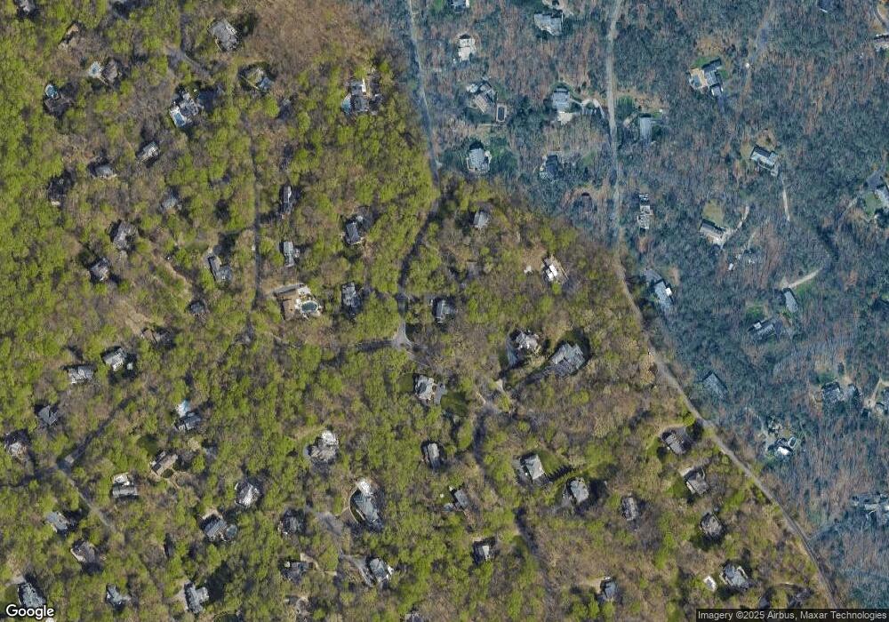
Map
Nearby Homes
- 11240 Turnley Ln
- 3820 Reeds Landing Cir
- 3805 Solebury Place
- 10760 Cherokee Rd
- 3320 Traylor Dr
- 3530 Old Gun Rd W
- 2930 Poyntelle Rd
- 3631 Cannon Ridge Ct
- 12213 Capwell Dr
- 2800 Live Oak Ln
- 3900 Cedar Grove Rd
- 2819 Live Oak Ln
- 3626 Seaford Crossing Dr
- 10326 W Huguenot Rd
- 3010 Middlewood Rd
- 3628 Seaford Crossing Dr
- 10349 Jason Rd
- 9479 Creek Summit Cir
- 9477 Creek Summit Cir
- 9001 Forest Ridge Ct
- 3711 Stanford Ct
- 11010 Reeds Landing Rd
- 3660 Lansdowne Rd
- 3700 Stanford Ct
- 3721 Stanford Ct
- 3716 Old Gun Rd E
- 11000 Reeds Landing Rd
- 3710 Stanford Ct
- 3650 Lansdowne Rd
- 3701 Reeds Landing Cir
- 3720 Old Gun Rd E
- 3731 Stanford Ct
- 10930 Reeds Landing Rd
- 3711 Reeds Landing Cir
- 3641 Lansdowne Rd
- 3800 E Old Gun Rd
- 11100 Buckhead Terrace
- 3640 Lansdowne Rd
- 3800 Old Gun Rd E
- 3721 Reeds Landing Cir