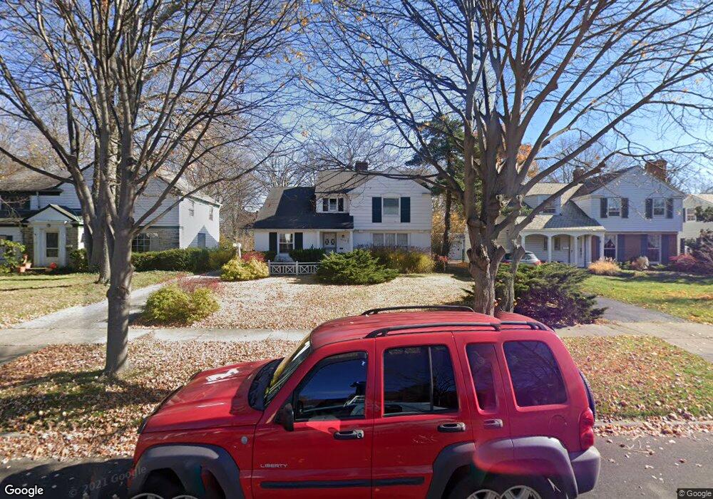
3703 Stoer Rd Shaker Heights, OH 44122
Estimated Value: $255,505 - $274,000
3
Beds
3
Baths
1,489
Sq Ft
$178/Sq Ft
Est. Value
About This Home
This home is located at 3703 Stoer Rd, Shaker Heights, OH 44122 and is currently estimated at $264,876, approximately $177 per square foot. 3703 Stoer Rd is a home located in Cuyahoga County with nearby schools including Lomond Elementary School, Woodbury Elementary School, and Shaker Heights Middle School.
Ownership History
Date
Name
Owned For
Owner Type
Purchase Details
Closed on
Dec 27, 2011
Sold by
Marting Leslie G and Schambs Holly G
Bought by
Budkie Alexander J
Current Estimated Value
Home Financials for this Owner
Home Financials are based on the most recent Mortgage that was taken out on this home.
Original Mortgage
$103,312
Outstanding Balance
$70,828
Interest Rate
3.98%
Mortgage Type
FHA
Estimated Equity
$194,048
Purchase Details
Closed on
May 22, 2003
Sold by
Gepfert Suzanne T
Bought by
Gepfert Suzanne T
Purchase Details
Closed on
Jan 1, 1975
Bought by
Gepfert Suzanne T
Create a Home Valuation Report for This Property
The Home Valuation Report is an in-depth analysis detailing your home's value as well as a comparison with similar homes in the area
Home Values in the Area
Average Home Value in this Area
Purchase History
| Date | Buyer | Sale Price | Title Company |
|---|---|---|---|
| Budkie Alexander J | $106,000 | Ohio Real Title | |
| Gepfert Suzanne T | -- | -- | |
| Gepfert Suzanne T | -- | -- |
Source: Public Records
Mortgage History
| Date | Status | Borrower | Loan Amount |
|---|---|---|---|
| Open | Budkie Alexander J | $103,312 |
Source: Public Records
Tax History Compared to Growth
Tax History
| Year | Tax Paid | Tax Assessment Tax Assessment Total Assessment is a certain percentage of the fair market value that is determined by local assessors to be the total taxable value of land and additions on the property. | Land | Improvement |
|---|---|---|---|---|
| 2024 | $5,951 | $65,940 | $17,535 | $48,405 |
| 2023 | $5,394 | $47,530 | $14,140 | $33,390 |
| 2022 | $5,263 | $47,530 | $14,140 | $33,390 |
| 2021 | $5,246 | $47,530 | $14,140 | $33,390 |
| 2020 | $5,060 | $43,190 | $12,850 | $30,350 |
| 2019 | $4,988 | $123,400 | $36,700 | $86,700 |
| 2018 | $4,686 | $43,190 | $12,850 | $30,350 |
| 2017 | $4,541 | $37,110 | $12,710 | $24,400 |
| 2016 | $4,362 | $37,110 | $12,710 | $24,400 |
| 2015 | $5,623 | $37,110 | $12,710 | $24,400 |
| 2014 | $5,623 | $46,410 | $12,460 | $33,950 |
Source: Public Records
Map
Nearby Homes
- 3696 Tolland Rd
- 3635 Tolland Rd
- 3676 Rawnsdale Rd
- 3609 Stoer Rd
- 19024 Lomond Blvd
- 3651 Rawnsdale Rd
- 19110 Lanbury Ave
- 19617 Lomond Blvd
- 19302 Shakerwood Rd
- 3846 E 189th St
- 3656 Latimore Rd
- 19901 Lanbury Ave
- 18515 Lomond Blvd
- 3717 Gridley Rd
- 19912 Lanbury Ave
- 3575 Gridley Rd
- 18927 Chagrin Blvd
- 18985 Chagrin Blvd
- 18431 Newell Rd
- 3638 Glencairn Rd