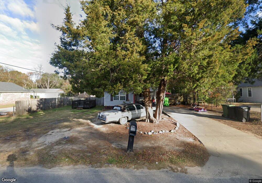
3703 Youmans St Columbus, GA 31903
Estimated Value: $52,000 - $118,952
4
Beds
3
Baths
1,225
Sq Ft
$70/Sq Ft
Est. Value
About This Home
This home is located at 3703 Youmans St, Columbus, GA 31903 and is currently estimated at $85,651, approximately $69 per square foot. 3703 Youmans St is a home located in Muscogee County with nearby schools including Dorothy Height Elementary School, Baker Middle School, and Spencer High School.
Ownership History
Date
Name
Owned For
Owner Type
Purchase Details
Closed on
Jun 1, 2007
Sold by
Columbus Area Habitat For Humanity Inc
Bought by
Brown Audrey E
Current Estimated Value
Home Financials for this Owner
Home Financials are based on the most recent Mortgage that was taken out on this home.
Original Mortgage
$20,000
Outstanding Balance
$3,057
Interest Rate
6.37%
Mortgage Type
Stand Alone Second
Estimated Equity
$82,594
Create a Home Valuation Report for This Property
The Home Valuation Report is an in-depth analysis detailing your home's value as well as a comparison with similar homes in the area
Home Values in the Area
Average Home Value in this Area
Purchase History
| Date | Buyer | Sale Price | Title Company |
|---|---|---|---|
| Brown Audrey E | $53,175 | None Available |
Source: Public Records
Mortgage History
| Date | Status | Borrower | Loan Amount |
|---|---|---|---|
| Open | Brown Audrey E | $20,000 | |
| Previous Owner | Brown Audrey E | $53,267 |
Source: Public Records
Tax History Compared to Growth
Tax History
| Year | Tax Paid | Tax Assessment Tax Assessment Total Assessment is a certain percentage of the fair market value that is determined by local assessors to be the total taxable value of land and additions on the property. | Land | Improvement |
|---|---|---|---|---|
| 2025 | $318 | $33,424 | $4,388 | $29,036 |
| 2024 | $317 | $42,696 | $4,388 | $38,308 |
| 2023 | $18 | $42,696 | $4,388 | $38,308 |
| 2022 | $330 | $34,988 | $4,388 | $30,600 |
| 2021 | $334 | $33,016 | $4,388 | $28,628 |
| 2020 | $323 | $33,016 | $4,388 | $28,628 |
| 2019 | $326 | $33,016 | $4,388 | $28,628 |
| 2018 | $326 | $33,016 | $4,388 | $28,628 |
| 2017 | $329 | $33,016 | $4,388 | $28,628 |
| 2016 | $332 | $21,308 | $3,600 | $17,708 |
| 2015 | $133 | $21,308 | $3,600 | $17,708 |
| 2014 | $133 | $21,308 | $3,600 | $17,708 |
| 2013 | -- | $21,308 | $3,600 | $17,708 |
Source: Public Records
Map
Nearby Homes
- 1025 Fletcher Ave
- 917 Fletcher Ave
- 906 Winston Rd
- 812 Benning Dr
- 824 Winston Rd
- 920 Brooks Rd
- 903 Winston Rd
- 716 Benning Dr
- 3135 Baker Cir
- 750 Winston Rd
- 1401 Clark Ave
- 1029 Harbison Dr
- 3111 Baker Cir
- 1474 Brewer Ave
- 3223 Lee St
- 1274 Providence Ln
- 2459 Brownie Ln
- 2463 Brownie Ln
- 2451 Brownie Ln
- 2463 Brownie St
- 3711 Youmans St
- 1032 Sheridan Ave
- 1028 Sheridan Ave
- 3619 Youmans St
- 1031 Sheridan Ave
- 3706 Youmans St
- 3626 Youmans St
- 1029 Sheridan Ave
- 3622 Youmans St
- 0 Youmans St
- 1027 Fort Benning Rd
- 1020 Sheridan Ave
- 3618 Youmans St
- 1025 Sheridan Ave
- 3616 Youmans St
- 1021 Sheridan Ave
- 1013 Sheridan Ave
- 1024 Fletcher Ave
- 1008 Sheridan Ave
- 3602 Youmans St