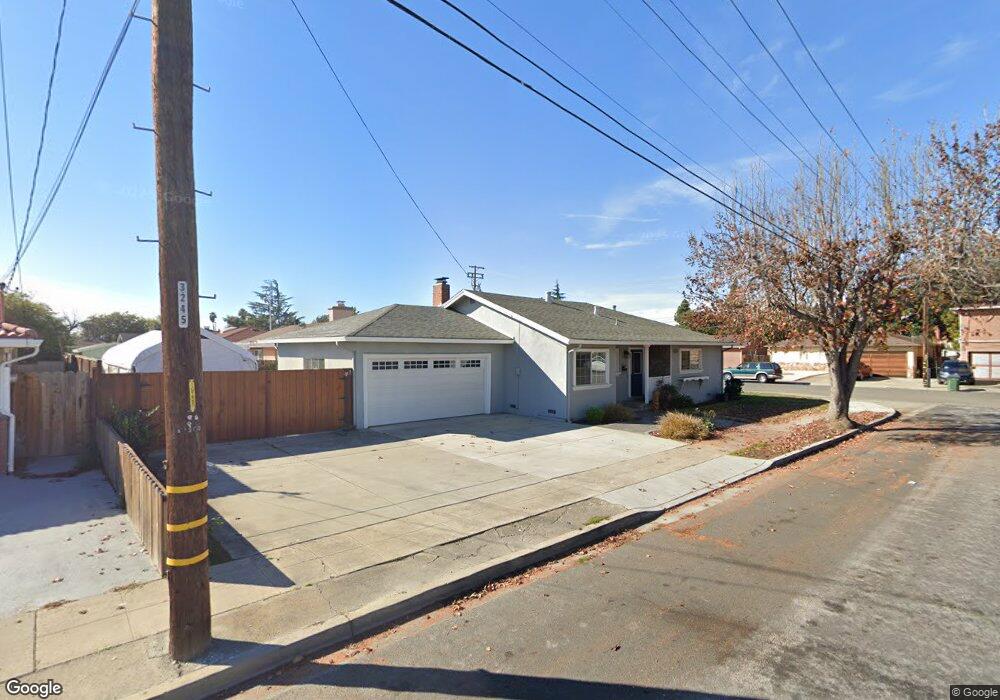
37033 San Antonio St Newark, CA 94560
Estimated Value: $977,863 - $1,191,000
3
Beds
2
Baths
1,152
Sq Ft
$943/Sq Ft
Est. Value
About This Home
This home is located at 37033 San Antonio St, Newark, CA 94560 and is currently estimated at $1,086,216, approximately $942 per square foot. 37033 San Antonio St is a home located in Alameda County with nearby schools including Newark Junior High School, Newark Memorial High School, and St. Edward School.
Ownership History
Date
Name
Owned For
Owner Type
Purchase Details
Closed on
Dec 8, 2006
Sold by
Balance Theresa S
Bought by
Balance Arturo R
Current Estimated Value
Home Financials for this Owner
Home Financials are based on the most recent Mortgage that was taken out on this home.
Original Mortgage
$400,000
Interest Rate
7.05%
Mortgage Type
Balloon
Purchase Details
Closed on
Mar 10, 1997
Sold by
Balance Arturo R
Bought by
Balance Arturo R and Balance Theresa S
Home Financials for this Owner
Home Financials are based on the most recent Mortgage that was taken out on this home.
Original Mortgage
$35,000
Interest Rate
7.74%
Create a Home Valuation Report for This Property
The Home Valuation Report is an in-depth analysis detailing your home's value as well as a comparison with similar homes in the area
Home Values in the Area
Average Home Value in this Area
Purchase History
| Date | Buyer | Sale Price | Title Company |
|---|---|---|---|
| Balance Arturo R | -- | Commonwealth Land Title | |
| Balance Arturo R | -- | Commonwealth Land Title Co |
Source: Public Records
Mortgage History
| Date | Status | Borrower | Loan Amount |
|---|---|---|---|
| Closed | Balance Arturo R | $400,000 | |
| Closed | Balance Arturo R | $35,000 |
Source: Public Records
Tax History
| Year | Tax Paid | Tax Assessment Tax Assessment Total Assessment is a certain percentage of the fair market value that is determined by local assessors to be the total taxable value of land and additions on the property. | Land | Improvement |
|---|---|---|---|---|
| 2025 | $4,656 | $344,814 | $103,444 | $241,370 |
| 2024 | $4,656 | $338,053 | $101,416 | $236,637 |
| 2023 | $4,518 | $331,425 | $99,427 | $231,998 |
| 2022 | $4,445 | $324,927 | $97,478 | $227,449 |
| 2021 | $4,338 | $318,557 | $95,567 | $222,990 |
| 2020 | $4,233 | $315,291 | $94,587 | $220,704 |
| 2019 | $4,177 | $309,110 | $92,733 | $216,377 |
| 2018 | $4,111 | $303,048 | $90,914 | $212,134 |
| 2017 | $4,007 | $297,107 | $89,132 | $207,975 |
| 2016 | $3,957 | $291,282 | $87,384 | $203,898 |
| 2015 | $3,943 | $286,908 | $86,072 | $200,836 |
| 2014 | $3,833 | $281,288 | $84,386 | $196,902 |
Source: Public Records
Map
Nearby Homes
- 37141 Saint Christopher St
- 5358 Port Sailwood Dr Unit 34
- 5311 Port Sailwood Dr
- 36637 Burdick St
- 5319 Port Sailwood Dr
- 36543 Cedar Blvd
- 36605 Hafner St
- 37723 Cedar Blvd
- 37725 Cedar Blvd
- 37303 Lantana Common
- 5268 Keeler Ct
- 37489 Summer Holly Common
- 6241 Cotton Ave
- 6190 Bellhaven Place
- 36188 Fig Tree Ln
- 36270 Enfield Dr
- 5569 Azalea Way
- 5298 Sussex Place
- 36005 Rosewood Dr
- 37640 Hyacinth St
- 5476 Milani Ave
- 37045 San Antonio St
- 5488 Milani Ave
- 5434 Milani Ave
- 37036 San Antonio St
- 37057 San Antonio St
- 5463 Milani Ave
- 37048 San Antonio St
- 5475 Milani Ave
- 37044 Cedar Blvd
- 5451 Milani Ave
- 37032 Cedar Blvd
- 5487 Milani Ave
- 5439 Milani Ave
- 37060 San Antonio St
- 37056 Cedar Blvd
- 37069 San Antonio St
- 5427 Milani Ave
- 5416 Milani Ave
- 37047 Saint Mary St
Your Personal Tour Guide
Ask me questions while you tour the home.