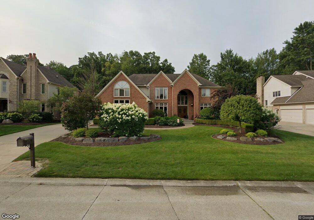
3705 Newcastle Dr Rochester Hills, MI 48306
Estimated Value: $800,000 - $911,000
6
Beds
6
Baths
4,498
Sq Ft
$187/Sq Ft
Est. Value
About This Home
This home is located at 3705 Newcastle Dr, Rochester Hills, MI 48306 and is currently estimated at $841,898, approximately $187 per square foot. 3705 Newcastle Dr is a home located in Oakland County with nearby schools including Musson Elementary School, Van Hoosen Middle School, and Rochester Adams High School.
Ownership History
Date
Name
Owned For
Owner Type
Purchase Details
Closed on
Aug 2, 1997
Sold by
Jones Jeffry E
Bought by
Pittel Mark E
Current Estimated Value
Purchase Details
Closed on
Apr 26, 1996
Sold by
Schilling Susan A
Bought by
Jones Jeffry E
Home Financials for this Owner
Home Financials are based on the most recent Mortgage that was taken out on this home.
Original Mortgage
$285,000
Interest Rate
7.86%
Purchase Details
Closed on
Apr 24, 1996
Sold by
Schilling Ernest H
Bought by
Jones Jeffry E
Home Financials for this Owner
Home Financials are based on the most recent Mortgage that was taken out on this home.
Original Mortgage
$285,000
Interest Rate
7.86%
Create a Home Valuation Report for This Property
The Home Valuation Report is an in-depth analysis detailing your home's value as well as a comparison with similar homes in the area
Home Values in the Area
Average Home Value in this Area
Purchase History
| Date | Buyer | Sale Price | Title Company |
|---|---|---|---|
| Pittel Mark E | $510,000 | -- | |
| Jones Jeffry E | $465,000 | -- | |
| Jones Jeffry E | -- | -- |
Source: Public Records
Mortgage History
| Date | Status | Borrower | Loan Amount |
|---|---|---|---|
| Previous Owner | Jones Jeffry E | $285,000 |
Source: Public Records
Tax History Compared to Growth
Tax History
| Year | Tax Paid | Tax Assessment Tax Assessment Total Assessment is a certain percentage of the fair market value that is determined by local assessors to be the total taxable value of land and additions on the property. | Land | Improvement |
|---|---|---|---|---|
| 2022 | $4,435 | $314,820 | $0 | $0 |
| 2018 | $7,285 | $277,060 | $0 | $0 |
| 2017 | $7,140 | $276,960 | $0 | $0 |
| 2015 | -- | $263,720 | $0 | $0 |
| 2014 | -- | $226,790 | $0 | $0 |
| 2011 | -- | $206,370 | $0 | $0 |
Source: Public Records
Map
Nearby Homes
- 3674 Merriweather Ln
- 3640 Camden Ct
- 3634 Camden Ct
- 3633 Thornwood Dr
- 1906 Independence Ct
- 4035 Hillsdale Dr Unit 275
- 3273 Salem Dr
- 5700 Rolling Hills Dr
- 3534 Riverside Dr Unit 141
- 1609 Kilburn Rd N
- 3879 Teakwood Ln
- 2935 Woodford Cir
- 3780 Bald Mountain Rd
- 423 Silvervale Dr
- 5826 Murfield Dr
- 3185 Saint James Ct
- 3095 Bridgewater Rd Unit 30
- 3057 Bridgewater Rd
- 2700 Mohawk Ln
- 5724 Murfield Dr
- 3699 Newcastle Dr
- 3711 Newcastle Dr
- 0 Newcastle Dr
- 3693 Newcastle Dr
- 3712 Newcastle Dr
- 3706 Newcastle Dr
- 3717 Newcastle Dr
- 1632 Wakefield Ct Unit Bldg-Unit
- 1632 Wakefield Ct
- 3687 Newcastle Dr
- 3700 Newcastle Dr
- 3718 Newcastle Dr
- 3723 Newcastle Dr
- 1624 Wakefield Ct
- 3694 Newcastle Dr
- 3732 Edinborough Dr
- 1639 Newcastle Ct
- 3726 Edinborough Dr
- 3724 Newvcastle Dr
- 3681 Newcastle Dr