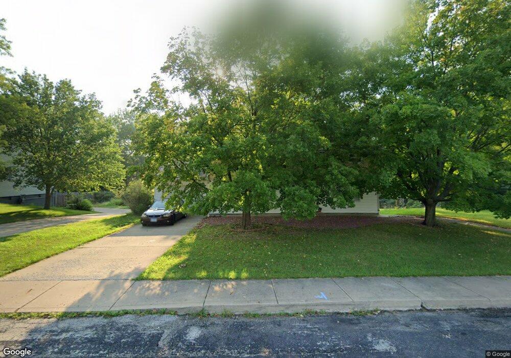
3706 N Street Michael Ave Peoria, IL 61615
North Peoria NeighborhoodEstimated Value: $175,000 - $202,921
6
Beds
3
Baths
2,226
Sq Ft
$87/Sq Ft
Est. Value
About This Home
This home is located at 3706 N Street Michael Ave, Peoria, IL 61615 and is currently estimated at $194,230, approximately $87 per square foot. 3706 N Street Michael Ave is a home located in Peoria County with nearby schools including Dr Maude A Sanders Primary School, Sterling Middle School, and Peoria High School.
Ownership History
Date
Name
Owned For
Owner Type
Purchase Details
Closed on
Mar 9, 2009
Bought by
Ehrhart Daniel J and Ehrhart Jennifer S
Current Estimated Value
Create a Home Valuation Report for This Property
The Home Valuation Report is an in-depth analysis detailing your home's value as well as a comparison with similar homes in the area
Home Values in the Area
Average Home Value in this Area
Purchase History
| Date | Buyer | Sale Price | Title Company |
|---|---|---|---|
| Ehrhart Daniel J | $139,000 | -- |
Source: Public Records
Tax History Compared to Growth
Tax History
| Year | Tax Paid | Tax Assessment Tax Assessment Total Assessment is a certain percentage of the fair market value that is determined by local assessors to be the total taxable value of land and additions on the property. | Land | Improvement |
|---|---|---|---|---|
| 2024 | $3,962 | $49,800 | $8,380 | $41,420 |
| 2023 | $3,734 | $45,690 | $7,690 | $38,000 |
| 2022 | $3,568 | $42,990 | $7,290 | $35,700 |
| 2021 | $3,474 | $40,940 | $6,940 | $34,000 |
| 2020 | $3,460 | $40,530 | $6,870 | $33,660 |
| 2019 | $3,523 | $41,360 | $7,010 | $34,350 |
| 2018 | $3,644 | $43,420 | $7,080 | $36,340 |
| 2017 | $3,650 | $43,860 | $7,150 | $36,710 |
| 2016 | $3,537 | $43,860 | $7,150 | $36,710 |
| 2015 | $3,413 | $43,000 | $7,010 | $35,990 |
| 2014 | $3,420 | $43,080 | $6,970 | $36,110 |
| 2013 | -- | $43,600 | $7,050 | $36,550 |
Source: Public Records
Map
Nearby Homes
- 3720 N Saint Michael Ave
- 2214 W Bainter Ln
- 2011 W Richwoods Blvd
- 2036 W Richwoods Blvd
- 3423 N El Vista Ave
- 3623 N Sterling Ave Unit b-17
- 2221 W Tripp Ave
- 4011 N Sterling Ave
- 2705 W Millbrook Ct
- 2318 W Albany Ave
- 2315 W Hudson St
- 2029 W Forrest Hill Ave
- 3808 N Walround Ln
- 4212 N Keenland Ave
- 1413 W Aire Ave
- 2910 W Westport Rd
- 4023 N University St
- 2909 N Mission Rd
- 3114 N Elmcroft Terrace
- 2922 W Larchmont Ln
- 3706 N Saint Michael Ave
- 3714 N Street Michael Ave
- 3714 N Saint Michael Ave
- 3650 N Leroy Ave
- 3720 N Street Michael Ave
- 3720 N St Michael Ave
- 3701 N Saint Michael Ave
- 3701 N Street Michael Ave
- 3711 N Saint Michael Ave
- 3648 N Leroy Ave
- 3644 N Leroy Ave
- 3728 N Saint Michael Ave
- 3717 N Saint Michael Ave
- 3717 N Street Michael Ave
- 3728 N Street Michael Ave
- 3649 N Leroy Ave
- 3723 N Saint Michael Ave
- 3723 N St Michael
- 2117 W North Circle Ct
- 2215 W Reservoir Blvd