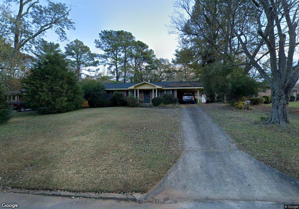
3709 Brookcrest Cir Decatur, GA 30032
Estimated Value: $190,582 - $236,000
3
Beds
2
Baths
1,125
Sq Ft
$188/Sq Ft
Est. Value
About This Home
This home is located at 3709 Brookcrest Cir, Decatur, GA 30032 and is currently estimated at $211,646, approximately $188 per square foot. 3709 Brookcrest Cir is a home located in DeKalb County with nearby schools including Snapfinger Elementary School, Columbia Middle School, and Columbia High School.
Ownership History
Date
Name
Owned For
Owner Type
Purchase Details
Closed on
Sep 10, 1999
Sold by
Welch-Bozier Densi A
Bought by
Pascal Kyran
Current Estimated Value
Home Financials for this Owner
Home Financials are based on the most recent Mortgage that was taken out on this home.
Original Mortgage
$74,386
Outstanding Balance
$21,777
Interest Rate
7.89%
Mortgage Type
FHA
Estimated Equity
$189,869
Create a Home Valuation Report for This Property
The Home Valuation Report is an in-depth analysis detailing your home's value as well as a comparison with similar homes in the area
Home Values in the Area
Average Home Value in this Area
Purchase History
| Date | Buyer | Sale Price | Title Company |
|---|---|---|---|
| Pascal Kyran | $75,000 | -- |
Source: Public Records
Mortgage History
| Date | Status | Borrower | Loan Amount |
|---|---|---|---|
| Open | Pascal Kyran | $74,386 |
Source: Public Records
Tax History Compared to Growth
Tax History
| Year | Tax Paid | Tax Assessment Tax Assessment Total Assessment is a certain percentage of the fair market value that is determined by local assessors to be the total taxable value of land and additions on the property. | Land | Improvement |
|---|---|---|---|---|
| 2025 | $2,734 | $85,080 | $52,000 | $33,080 |
| 2024 | $2,621 | $75,680 | $52,000 | $23,680 |
| 2023 | $2,621 | $66,640 | $31,720 | $34,920 |
| 2022 | $1,845 | $54,920 | $16,000 | $38,920 |
| 2021 | $1,652 | $49,320 | $16,000 | $33,320 |
| 2020 | $1,580 | $47,080 | $16,000 | $31,080 |
| 2019 | $1,266 | $38,320 | $16,000 | $22,320 |
| 2018 | $793 | $29,040 | $4,080 | $24,960 |
| 2017 | $834 | $25,040 | $4,080 | $20,960 |
| 2016 | $748 | $23,040 | $4,080 | $18,960 |
| 2014 | $408 | $12,920 | $4,080 | $8,840 |
Source: Public Records
Map
Nearby Homes
- 3651 Tulip Dr
- 3401 Tulip Dr
- 3513 Larkspur Terrace
- 1729 W Austin Rd
- 3465 Tulip Dr
- 3519 Larkspur Terrace
- 1669 Freedom Valley
- 1733 Hollyhock Terrace
- 3842 Brookcrest Cir
- 1674 Freedom Valley
- 3682 Daisy Dr
- 3531 Tulip Dr
- 3508 Sweetgum Ln
- 1485 Janmar Dr
- 3505 Sweetgum Ln
- 3705 Daisy Dr
- 3711 Daisy Dr
- 1603 Hollyhock Terrace
- 1496 Meadowlark Dr
- 1803 Hollyhock Terrace
- 3715 Brookcrest Cir
- 3701 Brookcrest Cir
- 3721 Brookcrest Cir
- 1636 Liberty Valley
- 3691 Brookcrest Cir
- 1642 Liberty Valley
- 1630 Liberty Valley
- 3683 Brookcrest Cir
- 3706 Brookcrest Cir
- 1625 Hampshire Place
- 0 W Austin Road Home Decatur (Id 1092) Unit 7689310-11465706
- 1713 W Austin Rd
- 3651 Hillsborough Ln
- 1624 Liberty Valley
- 3677 Brookcrest Cir
- 3694 Brookcrest Cir
- 1648 Liberty Valley
- 3730 Brookcrest Cir Unit 2
- 3686 Brookcrest Cir
- 1619 Hampshire Place