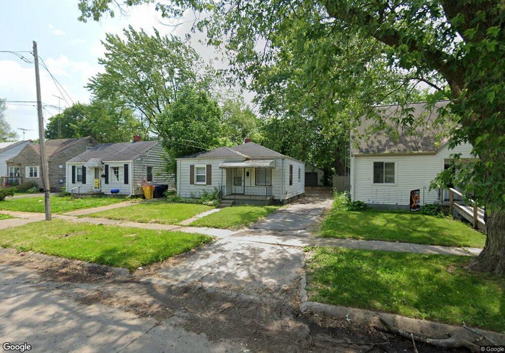
3709 Brown St Flint, MI 48532
Chevrolet NeighborhoodEstimated Value: $47,000 - $62,528
3
Beds
1
Bath
742
Sq Ft
$73/Sq Ft
Est. Value
About This Home
This home is located at 3709 Brown St, Flint, MI 48532 and is currently estimated at $53,882, approximately $72 per square foot. 3709 Brown St is a home located in Genesee County with nearby schools including Durant-Tuuri-Mott Elementary School, Flint Southwestern Classical Academy, and St. Paul Lutheran School.
Ownership History
Date
Name
Owned For
Owner Type
Purchase Details
Closed on
Jul 7, 2016
Sold by
Jmz Properties Llc
Bought by
Mmjf Properties Llc
Current Estimated Value
Purchase Details
Closed on
Feb 11, 2009
Sold by
Hayes Todd A and Hayes Susan
Bought by
The Federal National Mortgage Associatio
Purchase Details
Closed on
Jan 15, 2002
Sold by
Taylor Matthew J
Bought by
Hayes Todd A
Create a Home Valuation Report for This Property
The Home Valuation Report is an in-depth analysis detailing your home's value as well as a comparison with similar homes in the area
Home Values in the Area
Average Home Value in this Area
Purchase History
| Date | Buyer | Sale Price | Title Company |
|---|---|---|---|
| Mmjf Properties Llc | $9,000 | Transnation Title Clarkston | |
| The Federal National Mortgage Associatio | $39,348 | None Available | |
| Hayes Todd A | $52,900 | Sargents Title Company |
Source: Public Records
Tax History
| Year | Tax Paid | Tax Assessment Tax Assessment Total Assessment is a certain percentage of the fair market value that is determined by local assessors to be the total taxable value of land and additions on the property. | Land | Improvement |
|---|---|---|---|---|
| 2025 | $651 | $23,500 | $0 | $0 |
| 2024 | $614 | $19,200 | $0 | $0 |
| 2023 | $609 | $15,400 | $0 | $0 |
| 2022 | $0 | $14,000 | $0 | $0 |
| 2021 | $612 | $11,600 | $0 | $0 |
| 2020 | $575 | $9,700 | $0 | $0 |
| 2019 | $570 | $10,400 | $0 | $0 |
| 2018 | $535 | $10,100 | $0 | $0 |
| 2017 | $524 | $0 | $0 | $0 |
| 2016 | $524 | $0 | $0 | $0 |
| 2015 | -- | $0 | $0 | $0 |
| 2014 | -- | $0 | $0 | $0 |
| 2012 | -- | $6,100 | $0 | $0 |
Source: Public Records
Map
Nearby Homes
- 1412 S Ballenger Hwy
- 3805 Brown St
- 3825 Arlene Ave
- 3801 Augusta St
- 1308 Barney Ave
- 3915 Augusta St
- 3413 Augusta St
- 3722 Larchmont St
- 3317 Arlene Ave
- 3918 Larchmont St
- 3217 Arlene Ave
- 3510 Hogarth Ave
- 3214 Clairmont St
- 3310 Larchmont St
- 1122 Stocker Ave
- 3506 Chicago Blvd
- 1202 Knapp Ave
- 3402 Brandon St
- 976 Barney Ave
- 1017 Stocker Ave
- 3713 Brown St
- 1317 Walton Ave
- 3714 Whitney Ave
- 3718 Whitney Ave
- 3710 Whitney Ave
- 3705 Brown St
- 3706 Whitney Ave
- 3701 Brown St
- 3702 Whitney Ave
- 3625 Brown St
- 3626 Whitney Ave
- 3802 Whitney Ave
- 3622 Whitney Ave
- 3714 Brown St
- 3806 Whitney Ave
- 3718 Brown St
- 3710 Brown St
- 3722 Brown St
- 3617 Brown St
- 3708 Brown St
Your Personal Tour Guide
Ask me questions while you tour the home.