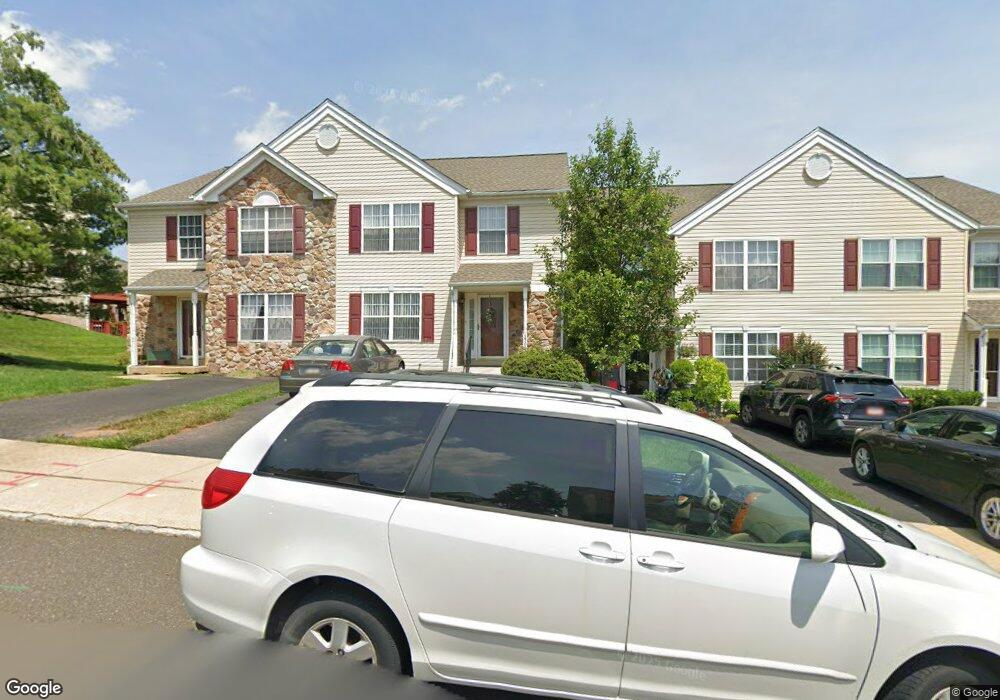
3709 Swetland Dr Doylestown, PA 18902
Plumstead NeighborhoodEstimated Value: $415,000 - $453,000
3
Beds
3
Baths
1,684
Sq Ft
$257/Sq Ft
Est. Value
About This Home
This home is located at 3709 Swetland Dr, Doylestown, PA 18902 and is currently estimated at $433,019, approximately $257 per square foot. 3709 Swetland Dr is a home located in Bucks County with nearby schools including Groveland Elementary School, Tohickon Middle School, and Central Bucks High School-West.
Ownership History
Date
Name
Owned For
Owner Type
Purchase Details
Closed on
May 28, 1999
Sold by
Patriots Ridge Ltd Partnership
Bought by
Delaney William T and Delaney Irene A
Current Estimated Value
Home Financials for this Owner
Home Financials are based on the most recent Mortgage that was taken out on this home.
Original Mortgage
$59,000
Outstanding Balance
$15,266
Interest Rate
6.82%
Estimated Equity
$417,753
Create a Home Valuation Report for This Property
The Home Valuation Report is an in-depth analysis detailing your home's value as well as a comparison with similar homes in the area
Home Values in the Area
Average Home Value in this Area
Purchase History
| Date | Buyer | Sale Price | Title Company |
|---|---|---|---|
| Delaney William T | $138,635 | -- |
Source: Public Records
Mortgage History
| Date | Status | Borrower | Loan Amount |
|---|---|---|---|
| Open | Delaney William T | $59,000 |
Source: Public Records
Tax History Compared to Growth
Tax History
| Year | Tax Paid | Tax Assessment Tax Assessment Total Assessment is a certain percentage of the fair market value that is determined by local assessors to be the total taxable value of land and additions on the property. | Land | Improvement |
|---|---|---|---|---|
| 2025 | $4,636 | $26,680 | $2,200 | $24,480 |
| 2024 | $4,636 | $26,680 | $2,200 | $24,480 |
| 2023 | $4,488 | $26,680 | $2,200 | $24,480 |
| 2022 | $4,438 | $26,680 | $2,200 | $24,480 |
| 2021 | $4,389 | $26,680 | $2,200 | $24,480 |
| 2020 | $4,389 | $26,680 | $2,200 | $24,480 |
| 2019 | $4,362 | $26,680 | $2,200 | $24,480 |
| 2018 | $4,362 | $26,680 | $2,200 | $24,480 |
| 2017 | $4,302 | $26,680 | $2,200 | $24,480 |
| 2016 | $4,302 | $26,680 | $2,200 | $24,480 |
| 2015 | -- | $26,680 | $2,200 | $24,480 |
| 2014 | -- | $26,680 | $2,200 | $24,480 |
Source: Public Records
Map
Nearby Homes
- 3723 William Daves Rd
- 3765 William Daves Rd
- 4748 Bishop Cir
- 3838 Jacob Stout Rd
- 3711 Jacob Stout Rd Unit 5
- 3600 Jacob Stout Rd Unit 3
- 114 Blackfriars Cir
- 100 Bishops Gate Ln Unit 67
- 194 Victoria Ct Unit 143
- 301 Windy Run Rd
- 3923 Ferry Rd
- Madison Plan at Clover Hill Crossing
- Rittenhouse Plan at Clover Hill Crossing
- Harrison Plan at Clover Hill Crossing
- Chapel Hill Plan at Clover Hill Crossing
- Georgetown Plan at Clover Hill Crossing
- Fenimore Plan at Clover Hill Crossing
- 4263 Kleinot Dr
- 4317 Kleinot Dr
- 4464 Kleinot Dr
- 3707 Swetland Dr
- 3711 Swetland Dr
- 3705 Swetland Dr
- 3703 Swetland Dr
- 5419 Rinker Cir Unit 258
- 3713 Swetland Dr
- 3701 Swetland Dr
- 3715 Swetland Dr
- 5413 Rinker Cir Unit 255
- 5411 Rinker Cir Unit 254
- 5417 Rinker Cir Unit 257
- 5409 Rinker Cir Unit 253
- 5401 Rinker Cir Unit 249
- 3712 Swetland Dr
- 3714 Swetland Dr
- 5407 Rinker Cir
- 3706 Swetland Dr
- 3717 Swetland Dr
- 5403 Rinker Cir Unit 250
- 3716 Swetland Dr