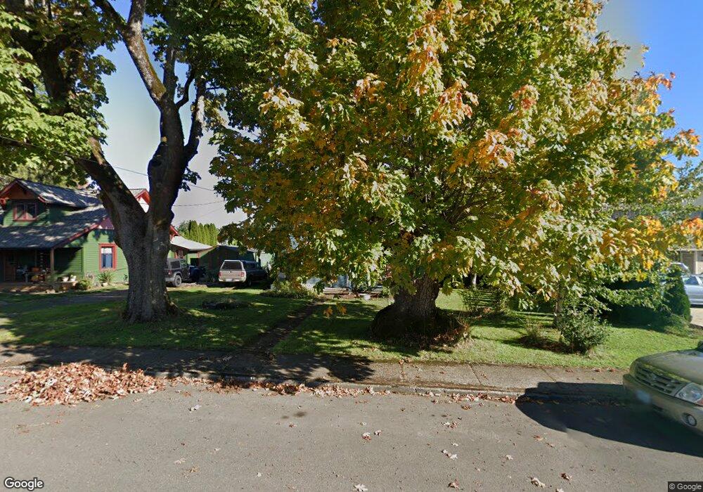
371 Broad St N Monmouth, OR 97361
Estimated Value: $371,000 - $392,000
4
Beds
2
Baths
1,327
Sq Ft
$288/Sq Ft
Est. Value
About This Home
This home is located at 371 Broad St N, Monmouth, OR 97361 and is currently estimated at $382,363, approximately $288 per square foot. 371 Broad St N is a home located in Polk County with nearby schools including Monmouth Elementary School, Talmadge Middle School, and Central High School.
Ownership History
Date
Name
Owned For
Owner Type
Purchase Details
Closed on
Apr 30, 2009
Sold by
Brodie Morgen L
Bought by
Dickinson Eliot
Current Estimated Value
Home Financials for this Owner
Home Financials are based on the most recent Mortgage that was taken out on this home.
Original Mortgage
$147,283
Outstanding Balance
$93,756
Interest Rate
4.99%
Mortgage Type
FHA
Estimated Equity
$288,607
Create a Home Valuation Report for This Property
The Home Valuation Report is an in-depth analysis detailing your home's value as well as a comparison with similar homes in the area
Home Values in the Area
Average Home Value in this Area
Purchase History
| Date | Buyer | Sale Price | Title Company |
|---|---|---|---|
| Dickinson Eliot | $150,000 | Ticor Title |
Source: Public Records
Mortgage History
| Date | Status | Borrower | Loan Amount |
|---|---|---|---|
| Open | Dickinson Eliot | $147,283 |
Source: Public Records
Tax History Compared to Growth
Tax History
| Year | Tax Paid | Tax Assessment Tax Assessment Total Assessment is a certain percentage of the fair market value that is determined by local assessors to be the total taxable value of land and additions on the property. | Land | Improvement |
|---|---|---|---|---|
| 2025 | $2,571 | $155,970 | $52,390 | $103,580 |
| 2024 | $2,571 | $151,430 | $50,860 | $100,570 |
| 2023 | $2,678 | $147,020 | $49,380 | $97,640 |
| 2022 | $2,410 | $142,740 | $47,950 | $94,790 |
| 2021 | $2,383 | $138,590 | $46,550 | $92,040 |
| 2020 | $2,289 | $134,560 | $45,190 | $89,370 |
| 2019 | $2,222 | $130,650 | $43,880 | $86,770 |
| 2018 | $2,146 | $126,850 | $42,600 | $84,250 |
| 2017 | $2,134 | $123,160 | $41,360 | $81,800 |
| 2016 | $2,163 | $119,580 | $40,160 | $79,420 |
| 2015 | $2,057 | $116,100 | $38,990 | $77,110 |
| 2014 | $1,995 | $112,720 | $37,860 | $74,860 |
Source: Public Records
Map
Nearby Homes
- 0 Catron St N
- 348 Main St E
- 751 Catron St N
- 555 High St N
- 271 Clay St E
- 191 Catron St S
- 297 Main St W
- 360 Main St W
- 858 Main St E
- 1082 Alberta Ave E
- 412 Monmouth Ave S
- 505 Broad St S
- 460 Monmouth Ave S
- 545 Warren St S Unit 12
- 545 Warren St S
- 545 Warren St S Unit 7
- 309 Atwater St S
- 1329 Price Ln E
- 0 S Pacific Hwy W Unit 1100+ 24617884
- 0 S Pacific Hwy W
- 385 Broad St N
- 351 Broad St N
- 351 Broad St N Unit 1-4
- 399 Broad St N
- 368 Ecols St N
- 386 Ecols St N
- 370 Broad St N
- 364 Broad St N
- 390 Broad St N
- 340 Broad St N
- 401 Broad St N
- 400 Broad St N
- 330 Broad St N
- 406 Ecols St N
- 406 Ecols St N Unit A
- 320 Ecols St N
- 310 Powell St E
- 406 N Ecols St A
- 420 Broad St N
- 350 Powell St E Unit 1-20