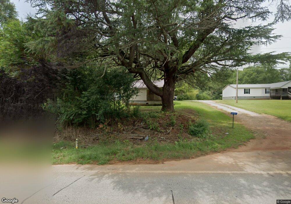
371 Corinth Rd Hogansville, GA 30230
Estimated Value: $106,000 - $148,000
2
Beds
1
Bath
1,044
Sq Ft
$120/Sq Ft
Est. Value
About This Home
This home is located at 371 Corinth Rd, Hogansville, GA 30230 and is currently estimated at $125,060, approximately $119 per square foot. 371 Corinth Rd is a home located in Troup County with nearby schools including Hogansville Elementary School, Callaway Elementary School, and Callaway Middle School.
Ownership History
Date
Name
Owned For
Owner Type
Purchase Details
Closed on
May 28, 1999
Sold by
Bobby Glenn & Tina East Gaddy
Bought by
Green Debra A
Current Estimated Value
Purchase Details
Closed on
Jun 15, 1996
Sold by
Deirdre D Rushridge
Bought by
Bobby Glenn & Tina East Gaddy
Purchase Details
Closed on
Apr 23, 1990
Bought by
Deirdre D Rushridge
Purchase Details
Closed on
Jan 1, 1980
Create a Home Valuation Report for This Property
The Home Valuation Report is an in-depth analysis detailing your home's value as well as a comparison with similar homes in the area
Home Values in the Area
Average Home Value in this Area
Purchase History
| Date | Buyer | Sale Price | Title Company |
|---|---|---|---|
| Green Debra A | $46,000 | -- | |
| Bobby Glenn & Tina East Gaddy | $9,000 | -- | |
| Deirdre D Rushridge | -- | -- | |
| -- | -- | -- |
Source: Public Records
Tax History Compared to Growth
Tax History
| Year | Tax Paid | Tax Assessment Tax Assessment Total Assessment is a certain percentage of the fair market value that is determined by local assessors to be the total taxable value of land and additions on the property. | Land | Improvement |
|---|---|---|---|---|
| 2024 | $715 | $26,200 | $5,720 | $20,480 |
| 2023 | $614 | $22,520 | $5,720 | $16,800 |
| 2022 | $570 | $20,440 | $4,560 | $15,880 |
| 2021 | $501 | $16,600 | $4,240 | $12,360 |
| 2020 | $501 | $16,600 | $4,240 | $12,360 |
| 2019 | $495 | $16,400 | $4,240 | $12,160 |
| 2018 | $461 | $15,280 | $4,240 | $11,040 |
| 2017 | $461 | $15,280 | $4,240 | $11,040 |
| 2016 | $451 | $14,965 | $4,272 | $10,693 |
| 2015 | $452 | $14,965 | $4,272 | $10,693 |
| 2014 | $436 | $14,402 | $4,272 | $10,130 |
| 2013 | -- | $15,329 | $4,272 | $11,057 |
Source: Public Records
Map
Nearby Homes
- 221 Power Plant Rd
- 402 Power Plant Rd
- GARDNER Plan at Huntcliff - Villages
- ESSEX Plan at Huntcliff - Villages
- DUPONT Plan at Huntcliff - Villages
- ROANOKE Plan at Huntcliff - Villages
- 618 Rifle Ridge
- 501 Sporting Dr
- 502 Sporting Dr
- 500 Sporting Dr
- 341 Foxtrot Trail
- 340 Foxtrot Trail
- 342 Foxtrot Trail
- 344 Foxtrot Trail
- 346 Foxtrot Trail
- 717 N Boyd Rd
- 100 International St
- 225 Fox Chase Way
- 262 Fox Chase Way
- 264 Fox Chase Way
- 372 Corinth Rd
- 393 Corinth Rd
- 331 Corinth Rd
- 346 Corinth Rd
- 407 Corinth Rd
- 400 Corinth Rd
- 325 Corinth Rd
- 366 Corinth Rd
- 319 Corinth Rd
- 318 Corinth Rd
- 315 Corinth Rd
- 430 Corinth Rd
- 431 Corinth Rd
- 263 Power Plant Rd
- 448 Corinth Rd
- 235 Power Plant Rd
- 292 Corinth Rd
- 455 Corinth Rd
- 454 Corinth Rd
- 0 Neighbors Dr