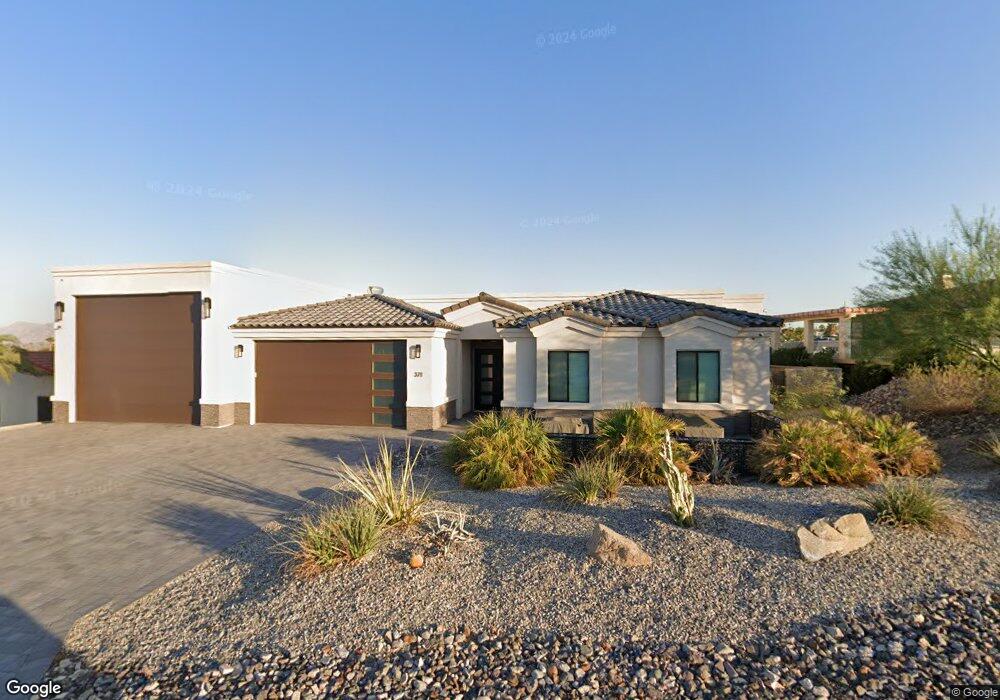
371 Cypress Dr Lake Havasu City, AZ 86406
Estimated Value: $1,020,619 - $1,062,000
--
Bed
--
Bath
2,225
Sq Ft
$469/Sq Ft
Est. Value
About This Home
This home is located at 371 Cypress Dr, Lake Havasu City, AZ 86406 and is currently estimated at $1,043,206, approximately $468 per square foot. 371 Cypress Dr is a home located in Mohave County with nearby schools including Starline Elementary School, Thunderbolt Middle School, and Lake Havasu High School.
Ownership History
Date
Name
Owned For
Owner Type
Purchase Details
Closed on
Apr 15, 2021
Sold by
Martha B Gladwin Living Trust and Blanchette Donna Leigh
Bought by
Rubuliak Keith J
Current Estimated Value
Home Financials for this Owner
Home Financials are based on the most recent Mortgage that was taken out on this home.
Original Mortgage
$548,250
Interest Rate
2.2%
Mortgage Type
New Conventional
Purchase Details
Closed on
Dec 27, 2017
Sold by
Walker James E and Walker Carol A
Bought by
Gladwin Martha B
Purchase Details
Closed on
Aug 16, 1999
Sold by
Walker James E and Walker Carol A
Bought by
Walker James E and Walker Carol A
Create a Home Valuation Report for This Property
The Home Valuation Report is an in-depth analysis detailing your home's value as well as a comparison with similar homes in the area
Home Values in the Area
Average Home Value in this Area
Purchase History
| Date | Buyer | Sale Price | Title Company |
|---|---|---|---|
| Rubuliak Keith J | -- | Pioneer Title | |
| Gladwin Martha B | $60,000 | Pioneer Title Agency Inc | |
| Walker James E | -- | -- |
Source: Public Records
Mortgage History
| Date | Status | Borrower | Loan Amount |
|---|---|---|---|
| Previous Owner | Rubuliak Keith J | $548,250 |
Source: Public Records
Tax History Compared to Growth
Tax History
| Year | Tax Paid | Tax Assessment Tax Assessment Total Assessment is a certain percentage of the fair market value that is determined by local assessors to be the total taxable value of land and additions on the property. | Land | Improvement |
|---|---|---|---|---|
| 2026 | $1,873 | -- | -- | -- |
| 2025 | $3,797 | $73,374 | $0 | $0 |
| 2024 | $3,797 | $76,686 | $0 | $0 |
| 2023 | $3,797 | $64,640 | $0 | $0 |
| 2022 | $3,633 | $12,328 | $0 | $0 |
| 2021 | $954 | $10,364 | $0 | $0 |
| 2019 | $1,316 | $16,125 | $0 | $0 |
| 2018 | $1,273 | $14,370 | $0 | $0 |
| 2017 | $1,261 | $14,655 | $0 | $0 |
| 2016 | $1,146 | $15,421 | $0 | $0 |
| 2015 | $1,164 | $12,587 | $0 | $0 |
Source: Public Records
Map
Nearby Homes
- 371 Cottonwood Dr
- 1827 Combat Dr
- 220 White Oak Dr
- 2041 Oak Dr
- 1881 Pinion Tree Dr
- 1852 Montana Vista Unit B
- 500 Lake Havasu Ave S Unit A12
- 1958 Montana Vista Unit D
- 475 Jones Dr
- 190 Aspen Dr
- 1840 Montana Vista Unit D
- 565 Jones Dr Unit 3b
- 1838 Montana Vista Unit C
- 1884 Montana Vista Unit 63B
- 539 Burkemo Ln Unit A1
- 160 Aspen Dr
- 1711 Combat Dr Unit 12
- 1824 Montana Vista Unit D
- 209 Snead Dr
- 2175 Snead Dr Unit 4
- 371 Cypress Dr
- 361 Cypress Dr
- 381 Cypress Dr
- 304 Mulberry Cir
- 351 Cypress Dr
- 351 Cypress Dr
- 300 Mulberry Cir
- 321 Mulberry Ave
- 298 Mulberry Cir
- 321 White Oak Dr
- 285 Locust Ln
- 284 Mulberry
- 270 Locust Ln
- 271 Locust Ln
- 311 White Oak Dr
- 270 Mulberry Ave
- 1830 Combat Dr
- 1832 Combat Dr
- 290 White Oak Dr
- 285 Mulberry Ave