Estimated Value: $243,000 - $380,000
--
Bed
--
Bath
600
Sq Ft
$548/Sq Ft
Est. Value
About This Home
This home is located at 371 E Hussey Hill Rd, Acton, ME 04001 and is currently estimated at $329,046, approximately $548 per square foot. 371 E Hussey Hill Rd is a home with nearby schools including Acton Elementary School.
Create a Home Valuation Report for This Property
The Home Valuation Report is an in-depth analysis detailing your home's value as well as a comparison with similar homes in the area
Home Values in the Area
Average Home Value in this Area
Tax History Compared to Growth
Tax History
| Year | Tax Paid | Tax Assessment Tax Assessment Total Assessment is a certain percentage of the fair market value that is determined by local assessors to be the total taxable value of land and additions on the property. | Land | Improvement |
|---|---|---|---|---|
| 2024 | $1,734 | $245,224 | $122,628 | $122,596 |
| 2023 | $1,571 | $243,640 | $121,044 | $122,596 |
| 2022 | $2,200 | $184,061 | $85,220 | $98,841 |
| 2021 | $2,232 | $186,786 | $87,945 | $98,841 |
| 2020 | $2,298 | $190,683 | $91,842 | $98,841 |
| 2019 | $2,336 | $193,875 | $95,034 | $98,841 |
| 2018 | $2,364 | $196,208 | $97,367 | $98,841 |
| 2017 | $2,309 | $194,043 | $95,202 | $98,841 |
| 2016 | $2,157 | $191,702 | $92,861 | $98,841 |
| 2015 | $2,119 | $183,439 | $84,598 | $98,841 |
| 2014 | $2,036 | $183,404 | $84,563 | $98,841 |
Source: Public Records
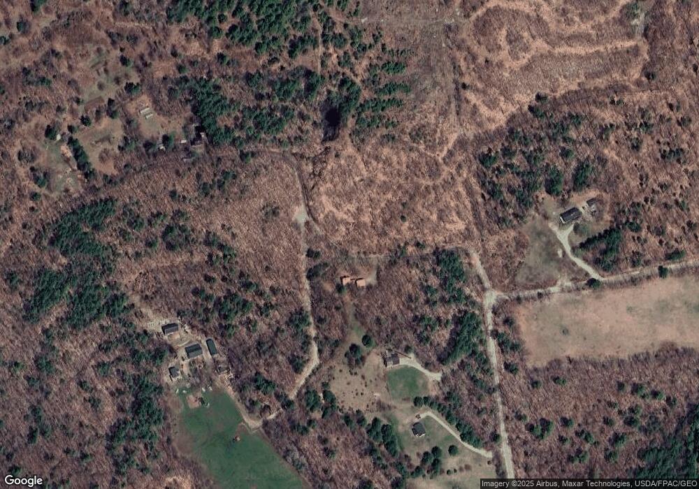
Map
Nearby Homes