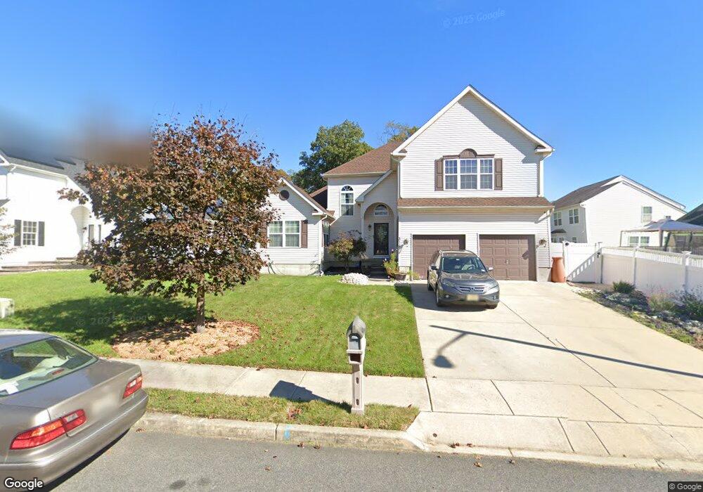
371 I r Bryant Way Lawnside, NJ 08045
Estimated Value: $411,742 - $528,000
--
Bed
--
Bath
3,109
Sq Ft
$158/Sq Ft
Est. Value
About This Home
This home is located at 371 I r Bryant Way, Lawnside, NJ 08045 and is currently estimated at $490,686, approximately $157 per square foot. 371 I r Bryant Way is a home located in Camden County with nearby schools including Lawnside Public Elementary School.
Ownership History
Date
Name
Owned For
Owner Type
Purchase Details
Closed on
May 7, 2004
Sold by
Gate Lion
Bought by
Samuels Qawi and Samuels Angela
Current Estimated Value
Home Financials for this Owner
Home Financials are based on the most recent Mortgage that was taken out on this home.
Original Mortgage
$230,640
Outstanding Balance
$107,909
Interest Rate
5.47%
Mortgage Type
Purchase Money Mortgage
Estimated Equity
$382,777
Create a Home Valuation Report for This Property
The Home Valuation Report is an in-depth analysis detailing your home's value as well as a comparison with similar homes in the area
Home Values in the Area
Average Home Value in this Area
Purchase History
| Date | Buyer | Sale Price | Title Company |
|---|---|---|---|
| Samuels Qawi | $288,300 | -- |
Source: Public Records
Mortgage History
| Date | Status | Borrower | Loan Amount |
|---|---|---|---|
| Open | Samuels Qawi | $230,640 |
Source: Public Records
Tax History Compared to Growth
Tax History
| Year | Tax Paid | Tax Assessment Tax Assessment Total Assessment is a certain percentage of the fair market value that is determined by local assessors to be the total taxable value of land and additions on the property. | Land | Improvement |
|---|---|---|---|---|
| 2025 | $11,071 | $235,000 | $44,800 | $190,200 |
| 2024 | $10,608 | $235,000 | $44,800 | $190,200 |
| 2023 | $10,608 | $235,000 | $44,800 | $190,200 |
| 2022 | $10,317 | $235,000 | $44,800 | $190,200 |
| 2021 | $9,830 | $235,000 | $44,800 | $190,200 |
| 2020 | $9,955 | $235,000 | $44,800 | $190,200 |
| 2019 | $9,792 | $235,000 | $44,800 | $190,200 |
| 2018 | $9,597 | $235,000 | $44,800 | $190,200 |
| 2017 | $9,438 | $235,000 | $44,800 | $190,200 |
| 2016 | $9,210 | $235,000 | $44,800 | $190,200 |
| 2015 | $8,931 | $235,000 | $44,800 | $190,200 |
| 2014 | $8,779 | $235,000 | $44,800 | $190,200 |
Source: Public Records
Map
Nearby Homes
- 348 Silk St
- 412 S Charleston Ave
- 69 Franklin Cir
- 265 S Charleston Ave
- 178 E Charleston Ave
- 172 E Charleston Ave
- 511 Ellis Ave
- 5 Perot Ave
- 128 E Oak Ave
- 431 N White Horse Pike
- 313 E Washington Ave
- 130 E Evesham Ave
- 101 Railroad Blvd
- 217 Ashland Ave
- 115 Phillips Ave
- 412 N White Horse Pike
- 121 Lafayette Ave
- 0 Orchard Ave
- 130 W Monroe Ave
- 22 Center Oak Ave
- 367 I r Bryant Way
- 307 Sadler Ave
- 303 Sadler Ave
- 363 I r Bryant Way
- 372 I r Bryant Way
- 376 I r Bryant Way
- 319 Sadler Ave
- 368 I r Bryant Way
- 332 Lions Gate Dr
- 340 Lions Gate Dr
- 328 Lions Gate Dr
- 0 Sadler Ave Unit 1007440690
- 0 Sadler Ave Unit 1007440656
- 0 Sadler Ave Unit 453168
- 0 Sadler Ave Unit 453167
- 0 Sadler Ave Unit 5777814
- 0 Sadler Ave Unit 5777802
- 0 Sadler Ave Unit 5777808
- 0 Sadler Ave Unit 5905265
- 0 Sadler Ave Unit 5931873