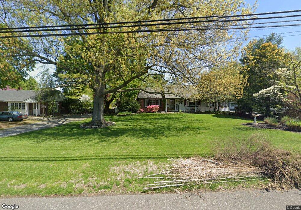
371 Jessup Rd West Deptford, NJ 08086
West Deptford Township NeighborhoodEstimated Value: $434,000 - $470,000
--
Bed
--
Bath
2,164
Sq Ft
$209/Sq Ft
Est. Value
About This Home
This home is located at 371 Jessup Rd, West Deptford, NJ 08086 and is currently estimated at $453,027, approximately $209 per square foot. 371 Jessup Rd is a home located in Gloucester County with nearby schools including Green-Fields Elementary School, Red Bank Elementary School, and Oakview Elementary School.
Ownership History
Date
Name
Owned For
Owner Type
Purchase Details
Closed on
Apr 27, 2007
Sold by
Fiocca Charles J and Fiocca Isabella C
Bought by
Mcgrath Margaret A and Mcgrath Margaret E
Current Estimated Value
Home Financials for this Owner
Home Financials are based on the most recent Mortgage that was taken out on this home.
Original Mortgage
$170,000
Outstanding Balance
$103,631
Interest Rate
6.21%
Mortgage Type
Purchase Money Mortgage
Estimated Equity
$349,396
Purchase Details
Closed on
Apr 23, 2004
Sold by
Zirbser Michael J and Zirbser Jean E
Bought by
Fiocca Charles J and Fiocca Isabella C
Home Financials for this Owner
Home Financials are based on the most recent Mortgage that was taken out on this home.
Original Mortgage
$176,000
Interest Rate
5%
Mortgage Type
Purchase Money Mortgage
Create a Home Valuation Report for This Property
The Home Valuation Report is an in-depth analysis detailing your home's value as well as a comparison with similar homes in the area
Home Values in the Area
Average Home Value in this Area
Purchase History
| Date | Buyer | Sale Price | Title Company |
|---|---|---|---|
| Mcgrath Margaret A | $270,000 | Foundation Title Llc | |
| Fiocca Charles J | $235,000 | Homestead Title Agency Via E |
Source: Public Records
Mortgage History
| Date | Status | Borrower | Loan Amount |
|---|---|---|---|
| Open | Mcgrath Margaret A | $170,000 | |
| Previous Owner | Fiocca Charles J | $176,000 |
Source: Public Records
Tax History Compared to Growth
Tax History
| Year | Tax Paid | Tax Assessment Tax Assessment Total Assessment is a certain percentage of the fair market value that is determined by local assessors to be the total taxable value of land and additions on the property. | Land | Improvement |
|---|---|---|---|---|
| 2025 | $9,289 | $266,000 | $58,500 | $207,500 |
| 2024 | $9,169 | $266,000 | $58,500 | $207,500 |
| 2023 | $9,169 | $266,000 | $58,500 | $207,500 |
| 2022 | $9,126 | $266,000 | $58,500 | $207,500 |
| 2021 | $8,927 | $266,000 | $58,500 | $207,500 |
| 2020 | $9,073 | $266,000 | $58,500 | $207,500 |
| 2019 | $8,821 | $266,000 | $58,500 | $207,500 |
| 2018 | $8,581 | $266,000 | $58,500 | $207,500 |
| 2017 | $8,382 | $266,000 | $58,500 | $207,500 |
| 2016 | $8,148 | $266,000 | $58,500 | $207,500 |
| 2015 | $7,762 | $266,000 | $58,500 | $207,500 |
| 2014 | $7,376 | $266,000 | $58,500 | $207,500 |
Source: Public Records
Map
Nearby Homes
- 740 Carter Hill Dr
- 64 Tilden Rd
- 1810 Fernwood Dr
- 1311 Barnesdale Rd
- 433 Crown Point Rd
- 97 Church St
- 4 Saint Emilion Ct
- 1102 Barnesdale Rd
- 863 Doncaster Dr
- 439 Crown Point Rd
- 640 Worcester Dr
- 121 Cape May Ave
- 10 Kennedy Ct
- 1220 Royal Ln
- 87 Woodway Dr Unit 87
- 247 Crown Point Rd
- 266 Passaic Ave
- 67 Pelican Place
- 107 Audubon Ave
- 558 Prince St
- 373 Jessup Rd
- 369 Jessup Rd
- 367 Jessup Rd
- 1505 Cobblestone Ct
- 1509 Cobblestone Ct
- 375 Jessup Rd
- 1503 Cobblestone Ct
- 372 Jessup Rd
- 1508 Cobblestone Ct
- 363 Jessup Rd
- 317 Jessup Mill Rd
- 1504 Cobblestone Ct
- 1506 Cobblestone Ct
- 374 Jessup Rd
- 1502 Cobblestone Ct
- 1602 Pennfield Dr
- 361 Jessup Rd
- 1401 Weatherly Ct
- 355 Jessup Rd
- 1404 Weatherly Ct