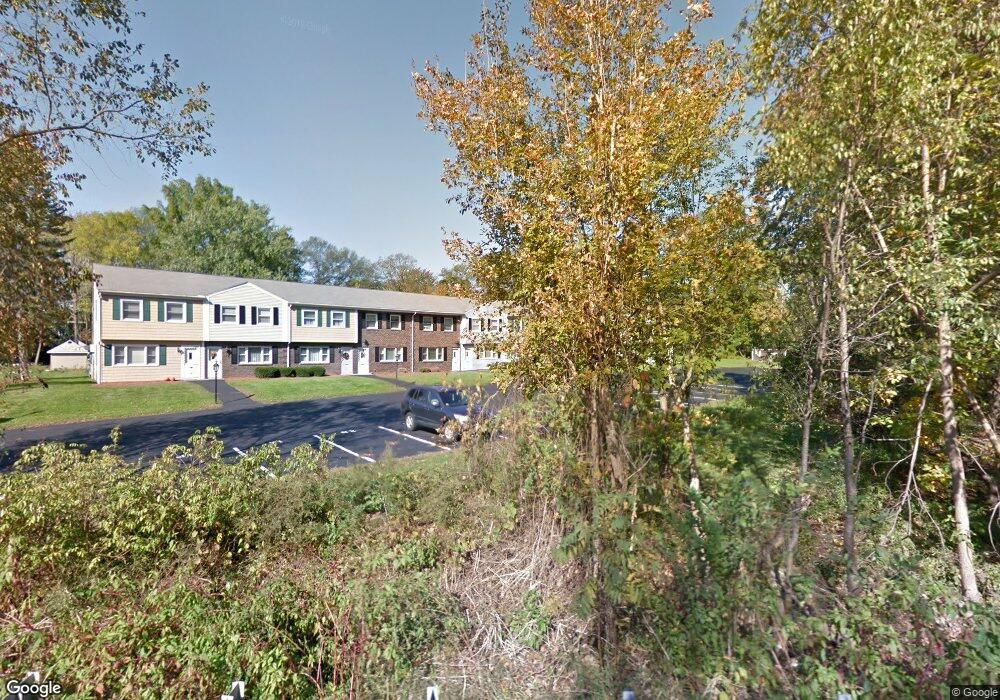
371 Lancaster St Unit 9 West Boylston, MA 01583
Estimated Value: $282,000 - $313,000
2
Beds
2
Baths
1,086
Sq Ft
$274/Sq Ft
Est. Value
About This Home
This home is located at 371 Lancaster St Unit 9, West Boylston, MA 01583 and is currently estimated at $297,274, approximately $273 per square foot. 371 Lancaster St Unit 9 is a home located in Worcester County with nearby schools including Major Edwards Elementary School and West Boylston Junior/Senior High School.
Ownership History
Date
Name
Owned For
Owner Type
Purchase Details
Closed on
Jul 16, 2002
Sold by
Jones David A and Jones Kelly M
Bought by
Welch Paul and Welch Patricia
Current Estimated Value
Home Financials for this Owner
Home Financials are based on the most recent Mortgage that was taken out on this home.
Original Mortgage
$156,308
Outstanding Balance
$66,638
Interest Rate
6.79%
Mortgage Type
Purchase Money Mortgage
Estimated Equity
$230,636
Purchase Details
Closed on
Aug 9, 1996
Sold by
Cattel Barbara A
Bought by
Jones David A and Jones Kelly
Home Financials for this Owner
Home Financials are based on the most recent Mortgage that was taken out on this home.
Original Mortgage
$54,000
Interest Rate
8.24%
Mortgage Type
Purchase Money Mortgage
Create a Home Valuation Report for This Property
The Home Valuation Report is an in-depth analysis detailing your home's value as well as a comparison with similar homes in the area
Home Values in the Area
Average Home Value in this Area
Purchase History
| Date | Buyer | Sale Price | Title Company |
|---|---|---|---|
| Welch Paul | $169,900 | -- | |
| Jones David A | $57,000 | -- |
Source: Public Records
Mortgage History
| Date | Status | Borrower | Loan Amount |
|---|---|---|---|
| Open | Jones David A | $156,308 | |
| Previous Owner | Jones David A | $54,000 |
Source: Public Records
Tax History Compared to Growth
Tax History
| Year | Tax Paid | Tax Assessment Tax Assessment Total Assessment is a certain percentage of the fair market value that is determined by local assessors to be the total taxable value of land and additions on the property. | Land | Improvement |
|---|---|---|---|---|
| 2025 | $32 | $229,400 | $0 | $229,400 |
| 2024 | $3,207 | $217,000 | $0 | $217,000 |
| 2023 | $3,051 | $195,800 | $0 | $195,800 |
| 2022 | $2,967 | $167,800 | $0 | $167,800 |
| 2021 | $2,896 | $156,900 | $0 | $156,900 |
| 2020 | $2,423 | $130,400 | $0 | $130,400 |
| 2019 | $2,305 | $122,300 | $0 | $122,300 |
| 2018 | $2,121 | $113,300 | $0 | $113,300 |
| 2017 | $2,130 | $113,300 | $0 | $113,300 |
| 2016 | $2,376 | $128,800 | $0 | $128,800 |
| 2015 | $2,362 | $128,800 | $0 | $128,800 |
Source: Public Records
Map
Nearby Homes
- 18 Laurel Ave
- 15 Myrtle Ave
- 23 Western Ave
- 136 Sterling St Unit A3
- 43 Chace Hill Rd
- 2 Lakeview Ave
- 20 Winthrop St
- 15 N Cove Rd
- 0 Boutelle Rd
- 31 Cross St
- 16 N Main St
- 19 Fitch Farm Rd
- 223 Worcester Rd
- 127 N Main St
- 61 Boutelle Rd
- 1 Harmony Ln Unit 4
- 2 Harmony Ln Unit 1
- 4 Jewett Rd Unit B
- 4 Jewett Rd Unit A
- 54 Maple St
- 371 Lancaster St Unit 12
- 371 Lancaster St Unit 11
- 371 Lancaster St Unit 10
- 371 Lancaster St Unit 8
- 371 Lancaster St Unit 7
- 371 Lancaster St Unit 6
- 371 Lancaster St Unit 5
- 371 Lancaster St Unit 4
- 371 Lancaster St Unit 3
- 371 Lancaster St Unit 2
- 371 Lancaster St Unit 1
- 371 Lancaster St Unit 371
- 30 Campground Rd
- 357 Lancaster St
- 385 Lancaster St
- 393 Lancaster St
- 17 Campground Rd
- 11 Campground Rd
- 40 Campground Rd
- 37 Campground Rd