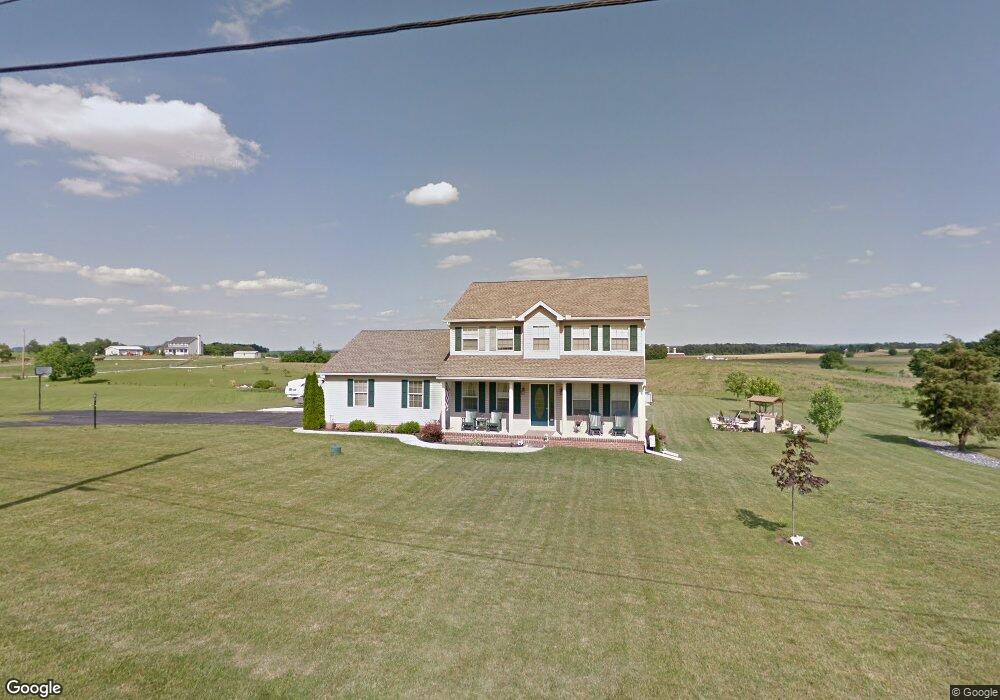
371 Littlestown Rd Unit 6 Littlestown, PA 17340
Estimated Value: $429,000 - $509,000
3
Beds
3
Baths
1,948
Sq Ft
$238/Sq Ft
Est. Value
About This Home
This home is located at 371 Littlestown Rd Unit 6, Littlestown, PA 17340 and is currently estimated at $463,572, approximately $237 per square foot. 371 Littlestown Rd Unit 6 is a home located in Adams County with nearby schools including Rolling Acres El School, Maple Avenue Middle School, and Littlestown Senior High School.
Ownership History
Date
Name
Owned For
Owner Type
Purchase Details
Closed on
Jul 26, 2002
Bought by
Link Thomas G and Link Diane L
Current Estimated Value
Create a Home Valuation Report for This Property
The Home Valuation Report is an in-depth analysis detailing your home's value as well as a comparison with similar homes in the area
Home Values in the Area
Average Home Value in this Area
Purchase History
| Date | Buyer | Sale Price | Title Company |
|---|---|---|---|
| Link Thomas G | $48,000 | -- |
Source: Public Records
Tax History Compared to Growth
Tax History
| Year | Tax Paid | Tax Assessment Tax Assessment Total Assessment is a certain percentage of the fair market value that is determined by local assessors to be the total taxable value of land and additions on the property. | Land | Improvement |
|---|---|---|---|---|
| 2025 | $6,409 | $338,600 | $85,000 | $253,600 |
| 2024 | $6,116 | $338,000 | $85,000 | $253,000 |
| 2023 | $5,094 | $287,200 | $85,000 | $202,200 |
| 2022 | $5,091 | $287,200 | $85,000 | $202,200 |
| 2021 | $4,911 | $287,200 | $85,000 | $202,200 |
| 2020 | $4,840 | $287,200 | $85,000 | $202,200 |
| 2019 | $4,738 | $287,200 | $85,000 | $202,200 |
| 2018 | $4,635 | $287,200 | $85,000 | $202,200 |
| 2017 | $4,475 | $287,200 | $85,000 | $202,200 |
| 2016 | -- | $287,200 | $85,000 | $202,200 |
| 2015 | -- | $287,200 | $85,000 | $202,200 |
| 2014 | -- | $287,200 | $85,000 | $202,200 |
Source: Public Records
Map
Nearby Homes
- 0 Littlestown Rd
- 349 Basehoar School Rd Unit 5
- 162 Newark St
- 0 Locust Dr Unit PAAD2015910
- 20c Locust Dr
- 20 Locust Dr
- 43 Ashfield Dr Unit 14
- 41 Smith Cir
- 5 Manor Cir Unit 103
- 58 Windsor Ct
- 48 Windsor Ct
- 449 Glenwyn Dr
- 440 N Queen St
- 58 N Gala Unit 397
- 464 Locust Ln
- 567 Lumber St
- 559 Lumber St
- 535 Lumber St
- 140 Apple Grove Ln Unit 425
- 135 Apple Grove Ln Unit 438
- 409 Littlestown Rd Unit 4
- 325 Littlestown Rd
- 451 Littlestown Rd Unit 3
- 25 Spring Hill Ln Unit 2
- 458 Littlestown Rd
- 48 Spring Hill Ln Unit 7
- 61 Spring Hill Ln Unit 3
- 3 Littlestown Rd
- 525 Littlestown Rd
- 104 Spring Ln
- 104 Spring Hill Ln Unit 8
- 57 Sells Station Rd Unit 2
- 95 Spring Ln
- 95 Spring Hill Ln Unit 4
- 35 Sells Station Rd Unit 1
- 645 Flatbush Rd
- 147 Spring Hill Ln Unit 5
- 150 Spring Hill Ln Unit 9
- 605 Littlestown Rd
- 30 Sells Station Rd