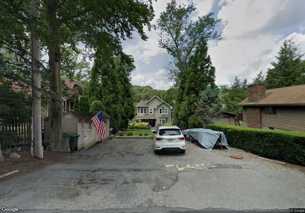
371 Maxim Dr Hopatcong, NJ 07843
Estimated Value: $807,000 - $992,000
--
Bed
--
Bath
2,050
Sq Ft
$437/Sq Ft
Est. Value
About This Home
This home is located at 371 Maxim Dr, Hopatcong, NJ 07843 and is currently estimated at $896,300, approximately $437 per square foot. 371 Maxim Dr is a home located in Sussex County with nearby schools including Hudson Maxim Elementary School, Durban Avenue Elementary School, and Tulsa Trail Elementary School.
Ownership History
Date
Name
Owned For
Owner Type
Purchase Details
Closed on
Jun 16, 2008
Sold by
Monteleone Peter
Bought by
Monteleone Peter and Monteleone Irene
Current Estimated Value
Home Financials for this Owner
Home Financials are based on the most recent Mortgage that was taken out on this home.
Original Mortgage
$270,000
Interest Rate
6.13%
Mortgage Type
Stand Alone Refi Refinance Of Original Loan
Purchase Details
Closed on
Oct 17, 2005
Sold by
Monteleone Peter and Monteleone Cynthia
Bought by
Monteleone Peter
Create a Home Valuation Report for This Property
The Home Valuation Report is an in-depth analysis detailing your home's value as well as a comparison with similar homes in the area
Home Values in the Area
Average Home Value in this Area
Purchase History
| Date | Buyer | Sale Price | Title Company |
|---|---|---|---|
| Monteleone Peter | -- | United General Title | |
| Monteleone Peter | -- | United General Title |
Source: Public Records
Mortgage History
| Date | Status | Borrower | Loan Amount |
|---|---|---|---|
| Closed | Monteleone Peter | $270,000 |
Source: Public Records
Tax History Compared to Growth
Tax History
| Year | Tax Paid | Tax Assessment Tax Assessment Total Assessment is a certain percentage of the fair market value that is determined by local assessors to be the total taxable value of land and additions on the property. | Land | Improvement |
|---|---|---|---|---|
| 2025 | $16,451 | $789,000 | $344,100 | $444,900 |
| 2024 | $17,810 | $789,000 | $344,100 | $444,900 |
| 2023 | $17,810 | $509,000 | $233,500 | $275,500 |
| 2022 | $17,459 | $509,000 | $233,500 | $275,500 |
| 2021 | $17,163 | $509,000 | $233,500 | $275,500 |
| 2020 | $16,985 | $509,000 | $233,500 | $275,500 |
| 2019 | $16,914 | $509,000 | $233,500 | $275,500 |
| 2018 | $16,878 | $509,000 | $233,500 | $275,500 |
| 2017 | $16,853 | $509,000 | $233,500 | $275,500 |
| 2016 | $16,889 | $509,000 | $233,500 | $275,500 |
| 2015 | $16,507 | $509,000 | $233,500 | $275,500 |
| 2014 | $16,451 | $509,000 | $233,500 | $275,500 |
Source: Public Records
Map
Nearby Homes
- 354 Maxim Dr
- 34 Oklahoma Trail
- 14 Marshall Trail
- 66 Sutton Trail
- 9 Papoose Trail
- 23 Fordham Trail
- 4 Kansas Way
- 114 Rollins Trail
- 35 Mountain Trail
- 208 Maxim Dr
- 4 Bear Pond Trail
- 121 Bucknell Trail
- 8 Oneida Ave
- 207 Dupont Ave
- 656 Lakeside Ave
- 2 Lincoln Trail
- 496 River Styx Rd
- 38 W River Styx Rd
- 10 N River Styx Rd
- 4 Northwestern Trail