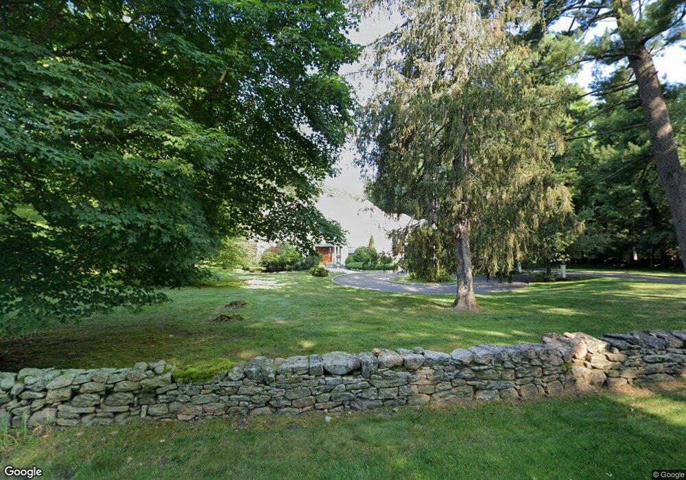
371 Middlesex Rd Darien, CT 06820
Estimated Value: $3,921,000 - $4,624,000
5
Beds
6
Baths
5,200
Sq Ft
$818/Sq Ft
Est. Value
About This Home
This home is located at 371 Middlesex Rd, Darien, CT 06820 and is currently estimated at $4,252,642, approximately $817 per square foot. 371 Middlesex Rd is a home located in Fairfield County with nearby schools including Royle Elementary School, Middlesex Middle School, and Darien High School.
Ownership History
Date
Name
Owned For
Owner Type
Purchase Details
Closed on
Jun 19, 2015
Sold by
Michalski Paul and Michalski Elizabeth B
Bought by
Michalski Paul and Michalski Elizabeth B
Current Estimated Value
Purchase Details
Closed on
Jun 5, 2000
Sold by
5 Mite River Assoc Llc
Bought by
Michalski Paul and Michalski Elizabeth B
Purchase Details
Closed on
Oct 21, 1998
Sold by
E B Lenssen Rt 1990 and Lenssen William
Bought by
5 Mile River Assoc Llc
Create a Home Valuation Report for This Property
The Home Valuation Report is an in-depth analysis detailing your home's value as well as a comparison with similar homes in the area
Home Values in the Area
Average Home Value in this Area
Purchase History
| Date | Buyer | Sale Price | Title Company |
|---|---|---|---|
| Michalski Paul | -- | -- | |
| Michalski Paul | $2,250,000 | -- | |
| 5 Mile River Assoc Llc | $675,000 | -- |
Source: Public Records
Mortgage History
| Date | Status | Borrower | Loan Amount |
|---|---|---|---|
| Open | 5 Mile River Assoc Llc | $500,000 | |
| Previous Owner | 5 Mile River Assoc Llc | $1,100,000 | |
| Previous Owner | 5 Mile River Assoc Llc | $350,000 |
Source: Public Records
Tax History Compared to Growth
Tax History
| Year | Tax Paid | Tax Assessment Tax Assessment Total Assessment is a certain percentage of the fair market value that is determined by local assessors to be the total taxable value of land and additions on the property. | Land | Improvement |
|---|---|---|---|---|
| 2025 | $27,142 | $1,753,360 | $626,990 | $1,126,370 |
| 2024 | $25,757 | $1,753,360 | $626,990 | $1,126,370 |
| 2023 | $26,491 | $1,504,300 | $663,390 | $840,910 |
| 2022 | $25,919 | $1,504,300 | $663,390 | $840,910 |
| 2021 | $25,332 | $1,504,300 | $663,390 | $840,910 |
| 2020 | $24,610 | $1,504,300 | $663,390 | $840,910 |
| 2019 | $24,776 | $1,504,300 | $663,390 | $840,910 |
| 2018 | $28,703 | $1,785,000 | $653,590 | $1,131,410 |
| 2017 | $28,846 | $1,785,000 | $653,590 | $1,131,410 |
| 2016 | $28,149 | $1,785,000 | $653,590 | $1,131,410 |
| 2015 | $29,438 | $1,917,790 | $765,450 | $1,152,340 |
| 2014 | -- | $1,917,790 | $765,450 | $1,152,340 |
Source: Public Records
Map
Nearby Homes
- 5 Shields Ln
- 223 Middlesex Rd
- 10 Stony Brook Rd
- 561 Middlesex Rd
- 76 Deepwood Rd
- 17 Pine Brook Ln Unit 17
- 19 Georgian Ln
- 17 Sunnyside Ave
- 166 Hollow Tree Ridge Rd
- 20 Locust Hill Rd
- 13 Patton Dr
- 28 Crooked Mile Rd
- 77 Maple St
- 146 Ridge Acres Rd
- 32 Relihan Rd
- 85 Camp Ave Unit 10I
- 95 Columbus Place Unit 6
- 100 Maple Tree Ave Unit 7
- 910 Hope St Unit 5B
- 22 Radio Place Unit 10
- 373 Middlesex Rd
- 369 Middlesex Rd
- 383 Middlesex Rd
- 375 Middlesex Rd
- 350 Middlesex Rd
- 12 Linda Ln
- 385 Middlesex Rd
- 114 Hanson Rd
- 10 Linda Ln
- 348 Middlesex Rd
- 14 Linda Ln
- 388 Middlesex Rd
- 393 Middlesex Rd
- 340 Middlesex Rd
- 11 Linda Ln
- 332 Middlesex Rd
- 8 Linda Ln
- 338 Middlesex Rd
- 390 Middlesex Rd
- 15 Linda Ln