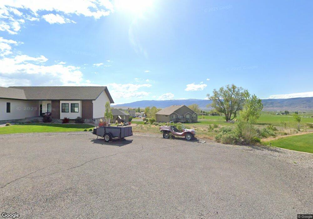
371 N 540 E Monroe, UT 84754
Monroe NeighborhoodEstimated Value: $62,000 - $273,000
Studio
--
Bath
--
Sq Ft
16,553
Sq Ft Lot
About This Home
This home is located at 371 N 540 E, Monroe, UT 84754 and is currently estimated at $165,978. 371 N 540 E is a home located in Sevier County with nearby schools including Monroe School, South Sevier Middle School, and South Sevier High School.
Ownership History
Date
Name
Owned For
Owner Type
Purchase Details
Closed on
Jun 30, 2020
Sold by
Wilkinson Joe D and Wilkinsod Laura L
Bought by
Jenkins Matthew Boyd and Jenkins Aubrie Lynnette
Current Estimated Value
Home Financials for this Owner
Home Financials are based on the most recent Mortgage that was taken out on this home.
Original Mortgage
$29,500
Outstanding Balance
$26,034
Interest Rate
3.2%
Mortgage Type
Seller Take Back
Estimated Equity
$139,944
Purchase Details
Closed on
May 1, 2007
Sold by
Hamblin Judy
Bought by
Wilkinson Joe D and Wilkinson Laura
Create a Home Valuation Report for This Property
The Home Valuation Report is an in-depth analysis detailing your home's value as well as a comparison with similar homes in the area
Home Values in the Area
Average Home Value in this Area
Purchase History
| Date | Buyer | Sale Price | Title Company |
|---|---|---|---|
| Jenkins Matthew Boyd | -- | Professional Title Services | |
| Wilkinson Joe D | -- | Utah Title & Abstract Co |
Source: Public Records
Mortgage History
| Date | Status | Borrower | Loan Amount |
|---|---|---|---|
| Open | Jenkins Matthew Boyd | $29,500 |
Source: Public Records
Tax History
| Year | Tax Paid | Tax Assessment Tax Assessment Total Assessment is a certain percentage of the fair market value that is determined by local assessors to be the total taxable value of land and additions on the property. | Land | Improvement |
|---|---|---|---|---|
| 2025 | $609 | $67,649 | $67,649 | $0 |
| 2024 | $609 | $61,858 | $61,858 | $0 |
| 2023 | $566 | $62,151 | $62,151 | $0 |
| 2022 | $518 | $49,067 | $49,067 | $0 |
| 2021 | $375 | $29,400 | $29,400 | $0 |
| 2020 | $381 | $28,000 | $28,000 | $0 |
| 2019 | $326 | $25,200 | $25,200 | $0 |
| 2018 | $326 | $22,400 | $22,400 | $0 |
| 2017 | $338 | $24,080 | $24,080 | $0 |
| 2016 | $231 | $24,080 | $0 | $0 |
| 2015 | $231 | $24,080 | $0 | $0 |
| 2014 | $231 | $24,080 | $0 | $0 |
Source: Public Records
Map
Nearby Homes
- 265 N South Bend Dr
- 60 E 200 N
- 80 N 100 E
- 310 N Main St
- 154 S 300 E
- 390 N 100 W
- 315 S 300 E
- 110 W 100 S
- 323 W 400 N
- 349 W 230 N
- 374 W 230 N
- 96 W 400 S
- 2 N Landslide Rd E
- 123 Tbd Monroe Canyon Rd
- 10 W 725 N Unit 10
- 7 W 725 N Unit 7
- 3 N Landslide Rd E Unit 3
- 291 N South Bend Dr
- 123 Tbd West Cuonty Rd 1875
- 3 W 725 N Unit 3
- 327 N 540 E Unit 2
- 327 N 540 E Unit 2.3
- 307 N 540 E
- 346 N 540 E
- 345 N 540 E
- 368 N 540 E Unit 8
- 367 N 540 E
- 328 N 460 E Unit 10
- 308 N 460 E
- 344 N 460 E Unit 9
- 344 N 460 E Unit 9-10
- 376 N 540 E
- 358 N 460 E
- 281 N 460 E
- 374 N 460 E
- 327 N 460 E
- 343 N 460 E
- 363 N 460 E Unit 4
- 378 N 460 E Unit 6
- 375 N 460 E
Your Personal Tour Guide
Ask me questions while you tour the home.