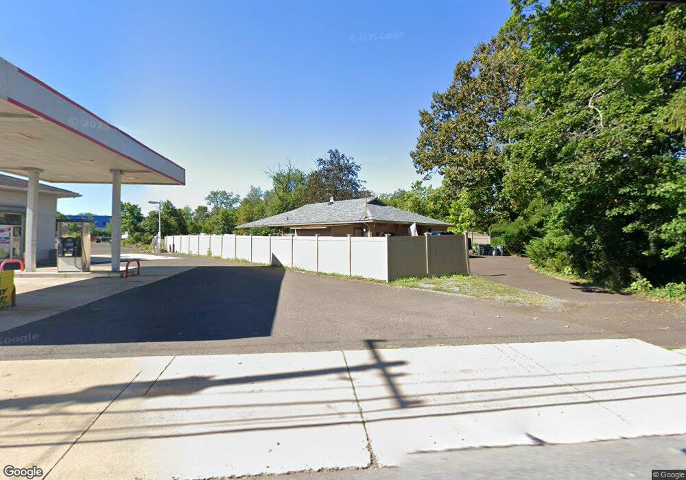
371 New St Quakertown, PA 18951
Estimated Value: $323,000 - $384,268
3
Beds
2
Baths
1,541
Sq Ft
$228/Sq Ft
Est. Value
About This Home
This home is located at 371 New St, Quakertown, PA 18951 and is currently estimated at $350,817, approximately $227 per square foot. 371 New St is a home located in Bucks County with nearby schools including Richland Elementary School, Strayer Middle School, and Quakertown Community Senior High School.
Ownership History
Date
Name
Owned For
Owner Type
Purchase Details
Closed on
Aug 25, 2017
Sold by
Fosbenner Cory and Fosbenner Lorri
Bought by
Eubanks Mitchell and Eubanks Bobbye
Current Estimated Value
Home Financials for this Owner
Home Financials are based on the most recent Mortgage that was taken out on this home.
Original Mortgage
$170,400
Outstanding Balance
$141,845
Interest Rate
3.96%
Mortgage Type
Commercial
Estimated Equity
$208,972
Purchase Details
Closed on
Sep 28, 2007
Sold by
Fosbenner Roger F and Fosbenner James R
Bought by
Fosbenner Cory and Fosbenner Lorri
Home Financials for this Owner
Home Financials are based on the most recent Mortgage that was taken out on this home.
Original Mortgage
$185,200
Interest Rate
6.49%
Mortgage Type
Purchase Money Mortgage
Purchase Details
Closed on
Sep 7, 1993
Bought by
Fosbenner Roger F and Fosbenner James R
Create a Home Valuation Report for This Property
The Home Valuation Report is an in-depth analysis detailing your home's value as well as a comparison with similar homes in the area
Home Values in the Area
Average Home Value in this Area
Purchase History
| Date | Buyer | Sale Price | Title Company |
|---|---|---|---|
| Eubanks Mitchell | $213,000 | Pennsbury Abstract | |
| Fosbenner Cory | $195,000 | First Amer Title Ins Stan | |
| Fosbenner Roger F | -- | -- |
Source: Public Records
Mortgage History
| Date | Status | Borrower | Loan Amount |
|---|---|---|---|
| Open | Eubanks Mitchell | $170,400 | |
| Previous Owner | Fosbenner Cory | $185,200 |
Source: Public Records
Tax History Compared to Growth
Tax History
| Year | Tax Paid | Tax Assessment Tax Assessment Total Assessment is a certain percentage of the fair market value that is determined by local assessors to be the total taxable value of land and additions on the property. | Land | Improvement |
|---|---|---|---|---|
| 2025 | $5,233 | $26,000 | $2,920 | $23,080 |
| 2024 | $5,233 | $26,000 | $2,920 | $23,080 |
| 2023 | $5,181 | $26,000 | $2,920 | $23,080 |
| 2022 | $5,094 | $26,000 | $2,920 | $23,080 |
| 2021 | $5,094 | $26,000 | $2,920 | $23,080 |
| 2020 | $5,094 | $26,000 | $2,920 | $23,080 |
| 2019 | $168 | $26,000 | $2,920 | $23,080 |
| 2018 | $4,780 | $26,000 | $2,920 | $23,080 |
| 2017 | $4,632 | $26,000 | $2,920 | $23,080 |
| 2016 | $4,632 | $26,000 | $2,920 | $23,080 |
| 2015 | -- | $26,000 | $2,920 | $23,080 |
| 2014 | -- | $26,000 | $2,920 | $23,080 |
Source: Public Records
Map
Nearby Homes
- 262 Fairview Ave
- 9 Maple St
- 34 N Ambler St
- 5 Essex Ct
- 21 Beaver Run Dr
- 141 S 2nd St
- 306 Juniper St
- 27 S 7th St
- 803 W Broad St
- 1068 Freedom Ct
- 811 W Mill St
- 1206 Arbor Ct
- 908 Juniper St
- 1351 Creekside Ln
- 232 S 10th St
- 1133 Mariwill Dr
- 12 Wagon Wheel Rd Unit 12
- 1142 Mariwill Dr
- 112 Edgewater Ct
- 112 Jefferson Ct
- 523 E Broad St
- 366 Franklin St
- 362 Franklin St
- 529 E Broad St
- 525 E Broad St
- 505 E Broad St Unit 3
- 505 E Broad St Unit 2
- 359 New St
- 531 E Broad St
- 601 E Broad St
- 463 E Broad St Unit B
- 463 E Broad St Unit A
- 463 E Broad St
- 463 E Broad St Unit B
- 463 E Broad St Unit A (FIRST FLOOR)
- 360 Franklin St
- 454 E Broad St
- 603 E Broad St
- 358 Franklin St
- 452 E Broad St