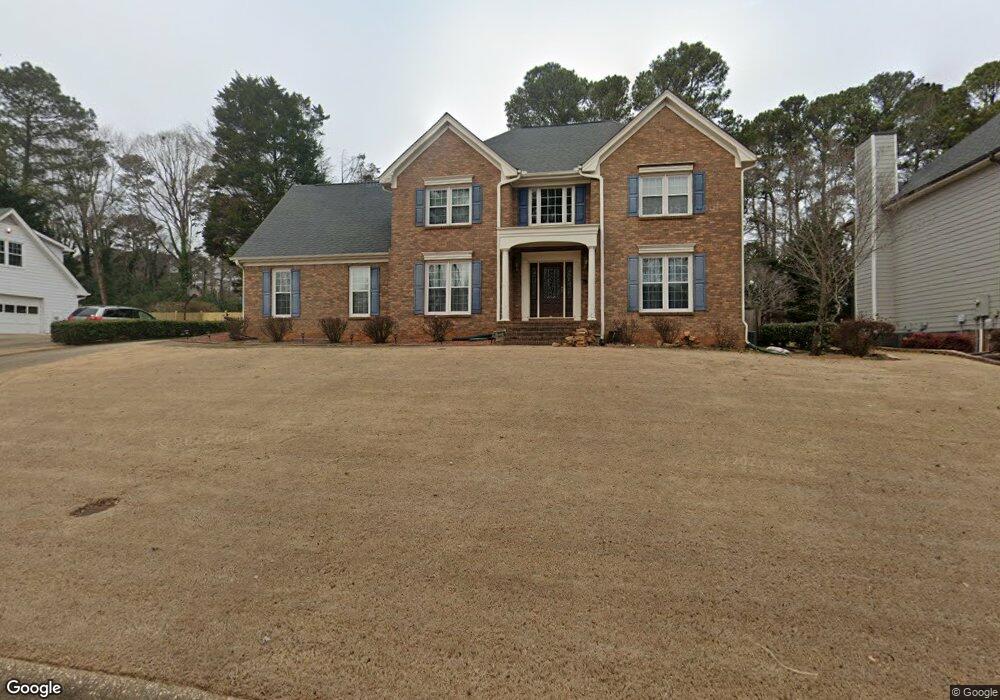
371 Shore Dr Unit 2 Suwanee, GA 30024
Estimated Value: $448,668 - $486,000
4
Beds
3
Baths
2,670
Sq Ft
$175/Sq Ft
Est. Value
About This Home
This home is located at 371 Shore Dr Unit 2, Suwanee, GA 30024 and is currently estimated at $466,917, approximately $174 per square foot. 371 Shore Dr Unit 2 is a home located in Gwinnett County with nearby schools including Walnut Grove Elementary School, Creekland Middle School, and Collins Hill High School.
Ownership History
Date
Name
Owned For
Owner Type
Purchase Details
Closed on
May 23, 2001
Sold by
Jones Vicki L
Bought by
Cahvez Francisco L and Cahvez Julie H
Current Estimated Value
Home Financials for this Owner
Home Financials are based on the most recent Mortgage that was taken out on this home.
Original Mortgage
$150,000
Outstanding Balance
$55,666
Interest Rate
7.11%
Mortgage Type
New Conventional
Estimated Equity
$411,251
Purchase Details
Closed on
Jun 29, 2000
Sold by
Jones Robert G
Bought by
Jones Vicki L
Create a Home Valuation Report for This Property
The Home Valuation Report is an in-depth analysis detailing your home's value as well as a comparison with similar homes in the area
Home Values in the Area
Average Home Value in this Area
Purchase History
| Date | Buyer | Sale Price | Title Company |
|---|---|---|---|
| Cahvez Francisco L | $187,500 | -- | |
| Jones Vicki L | -- | -- |
Source: Public Records
Mortgage History
| Date | Status | Borrower | Loan Amount |
|---|---|---|---|
| Open | Cahvez Francisco L | $150,000 |
Source: Public Records
Tax History Compared to Growth
Tax History
| Year | Tax Paid | Tax Assessment Tax Assessment Total Assessment is a certain percentage of the fair market value that is determined by local assessors to be the total taxable value of land and additions on the property. | Land | Improvement |
|---|---|---|---|---|
| 2025 | $4,764 | $173,760 | $28,000 | $145,760 |
| 2024 | $4,486 | $153,920 | $31,600 | $122,320 |
| 2023 | $4,486 | $153,920 | $31,600 | $122,320 |
| 2022 | $4,196 | $141,560 | $26,000 | $115,560 |
| 2021 | $3,922 | $125,200 | $26,000 | $99,200 |
| 2020 | $3,798 | $118,160 | $26,000 | $92,160 |
| 2019 | $3,543 | $110,760 | $19,600 | $91,160 |
| 2018 | $3,263 | $97,680 | $19,600 | $78,080 |
| 2016 | $3,284 | $97,680 | $19,600 | $78,080 |
| 2015 | $3,077 | $86,960 | $19,600 | $67,360 |
| 2014 | -- | $86,960 | $19,600 | $67,360 |
Source: Public Records
Map
Nearby Homes
- 2315 Prosperity Way Unit 2
- 318 Arbour Way Unit 4
- 267 Arbour Way
- 2372 Merrymount Dr Unit 2
- 2265 Wildwood Lake Dr
- 327 Lee Miller Dr
- 2538 Brynfield Cove
- 318 Lee Miller Dr
- 2370 Cape Courage Way
- 2140 Deer Trail
- 1953 Frisco Way
- 2124 York River Way Unit 1
- 487 Danville Ave
- 2689 Richmond Row Dr
- 118 Basil Ct
- 2167 Merrymount Dr
- 619 Kenridge Way
- 381 Shore Dr
- 361 Shore Dr
- 0 Shore Dr NW Unit 8523981
- 0 Shore Dr NW Unit 8338438
- 0 Shore Dr NW Unit 8744019
- 0 Shore Dr NW Unit 3180748
- 0 Shore Dr NW Unit 7155924
- 308 Arbour Run
- 391 Shore Dr
- 351 Shore Dr Unit 21
- 351 Shore Dr
- 318 Arbour Run Unit 5
- 298 Arbour Run
- 2405 Shore View Way Unit 2
- 360 Shore Dr
- 328 Arbour Run Unit 5
- 288 Arbour Run
- 350 Shore Dr Unit 2
- 401 Shore Dr Unit 2
- 341 Shore Dr