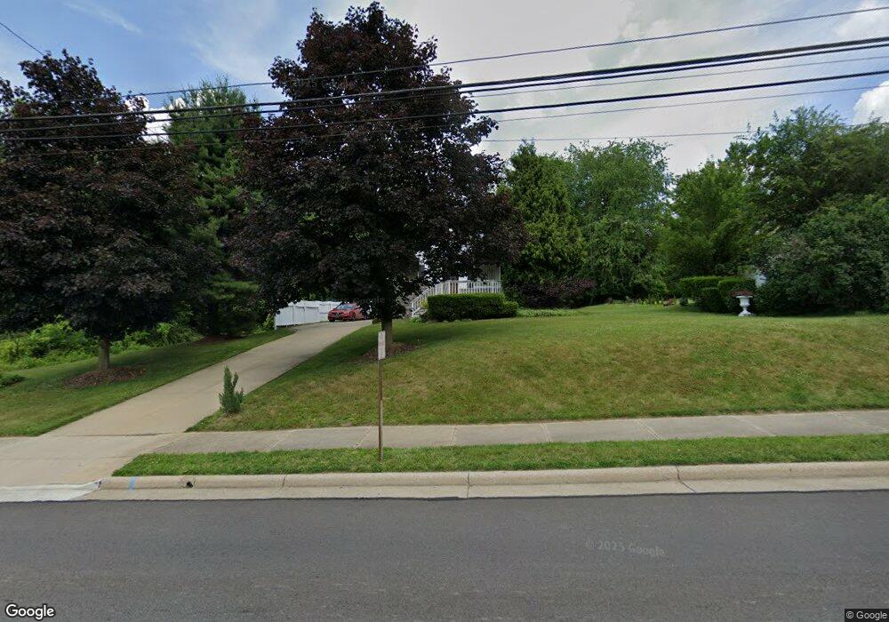
371 Snyder Ave Barberton, OH 44203
East Barberton NeighborhoodEstimated Value: $167,000 - $188,000
3
Beds
1
Bath
1,040
Sq Ft
$171/Sq Ft
Est. Value
About This Home
This home is located at 371 Snyder Ave, Barberton, OH 44203 and is currently estimated at $178,243, approximately $171 per square foot. 371 Snyder Ave is a home located in Summit County with nearby schools including Barberton Intermediate School 3-5, Barberton Middle School, and Barberton High School.
Ownership History
Date
Name
Owned For
Owner Type
Purchase Details
Closed on
May 31, 2016
Sold by
Sperling Adrian and Sperling Dona A
Bought by
Speling Eddic
Current Estimated Value
Home Financials for this Owner
Home Financials are based on the most recent Mortgage that was taken out on this home.
Original Mortgage
$96,662
Outstanding Balance
$77,057
Interest Rate
3.62%
Mortgage Type
FHA
Estimated Equity
$101,186
Create a Home Valuation Report for This Property
The Home Valuation Report is an in-depth analysis detailing your home's value as well as a comparison with similar homes in the area
Home Values in the Area
Average Home Value in this Area
Purchase History
| Date | Buyer | Sale Price | Title Company |
|---|---|---|---|
| Speling Eddic | $98,500 | Patriot Title Agency Inc |
Source: Public Records
Mortgage History
| Date | Status | Borrower | Loan Amount |
|---|---|---|---|
| Open | Speling Eddic | $96,662 |
Source: Public Records
Tax History Compared to Growth
Tax History
| Year | Tax Paid | Tax Assessment Tax Assessment Total Assessment is a certain percentage of the fair market value that is determined by local assessors to be the total taxable value of land and additions on the property. | Land | Improvement |
|---|---|---|---|---|
| 2025 | $2,690 | $53,771 | $15,085 | $38,686 |
| 2024 | $2,690 | $53,771 | $15,085 | $38,686 |
| 2023 | $2,690 | $53,771 | $15,085 | $38,686 |
| 2022 | $2,033 | $35,176 | $9,608 | $25,568 |
| 2021 | $2,031 | $35,176 | $9,608 | $25,568 |
| 2020 | $1,988 | $35,180 | $9,610 | $25,570 |
| 2019 | $1,805 | $28,930 | $9,610 | $19,320 |
| 2018 | $1,778 | $28,930 | $9,610 | $19,320 |
| 2017 | $1,826 | $28,930 | $9,610 | $19,320 |
| 2016 | $1,830 | $28,540 | $9,610 | $18,930 |
| 2015 | $1,826 | $28,540 | $9,610 | $18,930 |
| 2014 | $1,767 | $28,540 | $9,610 | $18,930 |
| 2013 | $1,792 | $29,900 | $9,610 | $20,290 |
Source: Public Records
Map
Nearby Homes
- 311 Holly Place
- 251 Slate Ridge Dr
- 43 S Van Buren Ave
- 588 Austin Dr
- 25 S Van Buren Ave
- 327 Robinson Ave
- 6 5th St NE
- 369 Big Bend Cir
- 477 Robinson Ave
- 375 Big Bend Cir
- 414 E Baird Ave
- 1110 Mansion Dr
- 64 Diamond Ave
- 357 E Paige Ave
- 650 E Tuscarawas Ave
- 986 S Azalea Blvd
- 349 E Hopocan Ave
- 344 E Huston St
- 1742 Turkeyfoot Lake Rd
- 861 Wisteria Dr
- 381 Snyder Ave
- 368 Snyder Ave
- 362 Snyder Ave Unit 364
- 364 Snyder Ave
- 388 Snyder Ave
- 341 Snyder Ave
- 398 Snyder Ave
- 348 Snyder Ave
- 250 2nd St SE
- 340 Snyder Ave
- 295 Joseph St
- * Joseph Ave
- v/l Joseph Ave
- 336 Snyder Ave
- 305 Joseph Ave
- 298 Edward St
- 298 Edward St
- 0 Frank Ave Unit 3152070
- * Frank Ave
- 305 Joseph St